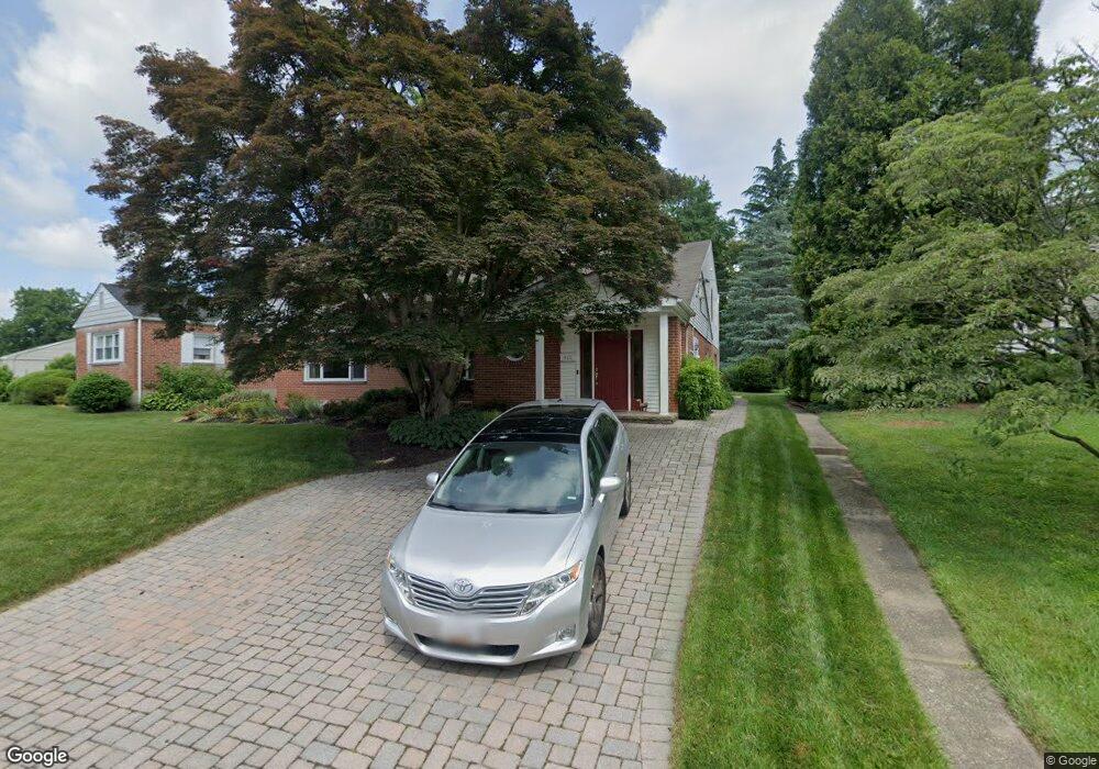
420 Range Rd Towson, MD 21204
Estimated Value: $785,998 - $930,000
Studio
3
Baths
3,444
Sq Ft
$249/Sq Ft
Est. Value
About This Home
This home is located at 420 Range Rd, Towson, MD 21204 and is currently estimated at $857,250, approximately $248 per square foot. 420 Range Rd is a home located in Baltimore County with nearby schools including West Towson Elementary School, Dumbarton Middle School, and Towson High Law & Public Policy.
Ownership History
Date
Name
Owned For
Owner Type
Purchase Details
Closed on
May 10, 2019
Sold by
Barrazotto John J and Barrazotto Nancy R
Bought by
Barrazotto John J and Barrazotto Nancy R
Current Estimated Value
Purchase Details
Closed on
Nov 4, 1993
Sold by
Luddy J J
Bought by
Barrazotto John J
Home Financials for this Owner
Home Financials are based on the most recent Mortgage that was taken out on this home.
Original Mortgage
$144,300
Interest Rate
6.83%
Create a Home Valuation Report for This Property
The Home Valuation Report is an in-depth analysis detailing your home's value as well as a comparison with similar homes in the area
Home Values in the Area
Average Home Value in this Area
Purchase History
| Date | Buyer | Sale Price | Title Company |
|---|---|---|---|
| Barrazotto John J | -- | None Available | |
| Barrazotto John J | $151,900 | -- |
Source: Public Records
Mortgage History
| Date | Status | Borrower | Loan Amount |
|---|---|---|---|
| Closed | Barrazotto John J | $144,300 |
Source: Public Records
Tax History
| Year | Tax Paid | Tax Assessment Tax Assessment Total Assessment is a certain percentage of the fair market value that is determined by local assessors to be the total taxable value of land and additions on the property. | Land | Improvement |
|---|---|---|---|---|
| 2025 | $8,011 | $688,000 | $133,000 | $555,000 |
| 2024 | $8,011 | $646,433 | $0 | $0 |
| 2023 | $3,857 | $604,867 | $0 | $0 |
| 2022 | $7,340 | $563,300 | $122,700 | $440,600 |
| 2021 | $7,519 | $563,300 | $122,700 | $440,600 |
| 2020 | $7,519 | $563,300 | $122,700 | $440,600 |
| 2019 | $7,302 | $592,400 | $122,700 | $469,700 |
| 2018 | $6,870 | $560,367 | $0 | $0 |
| 2017 | $6,526 | $528,333 | $0 | $0 |
| 2016 | $5,403 | $496,300 | $0 | $0 |
| 2015 | $5,403 | $496,300 | $0 | $0 |
| 2014 | $5,403 | $496,300 | $0 | $0 |
Source: Public Records
Map
Nearby Homes
- 448 Range Rd
- 425 Woodbine Ave
- 901 Navy Rd
- 1008 W Wind Ct
- 507 Allegheny Ave
- 922 Rolandvue Rd
- 1006 W Joppa Rd
- 0 Charlesway
- 28 Allegheny Ave Unit 1308
- 28 Allegheny Ave Unit 2710
- 28 Allegheny Ave Unit 1504
- 28 Allegheny Ave Unit 805
- 28 Allegheny Ave Unit 1306
- 28 Allegheny Ave Unit 1804
- 28 Allegheny Ave Unit 2700
- 132 Warwick Dr
- 8328 Bellona Ave
- 6509 Abbey View Way
- 19 Coldwater Ct
- 1028 Winsford Rd
Your Personal Tour Guide
Ask me questions while you tour the home.