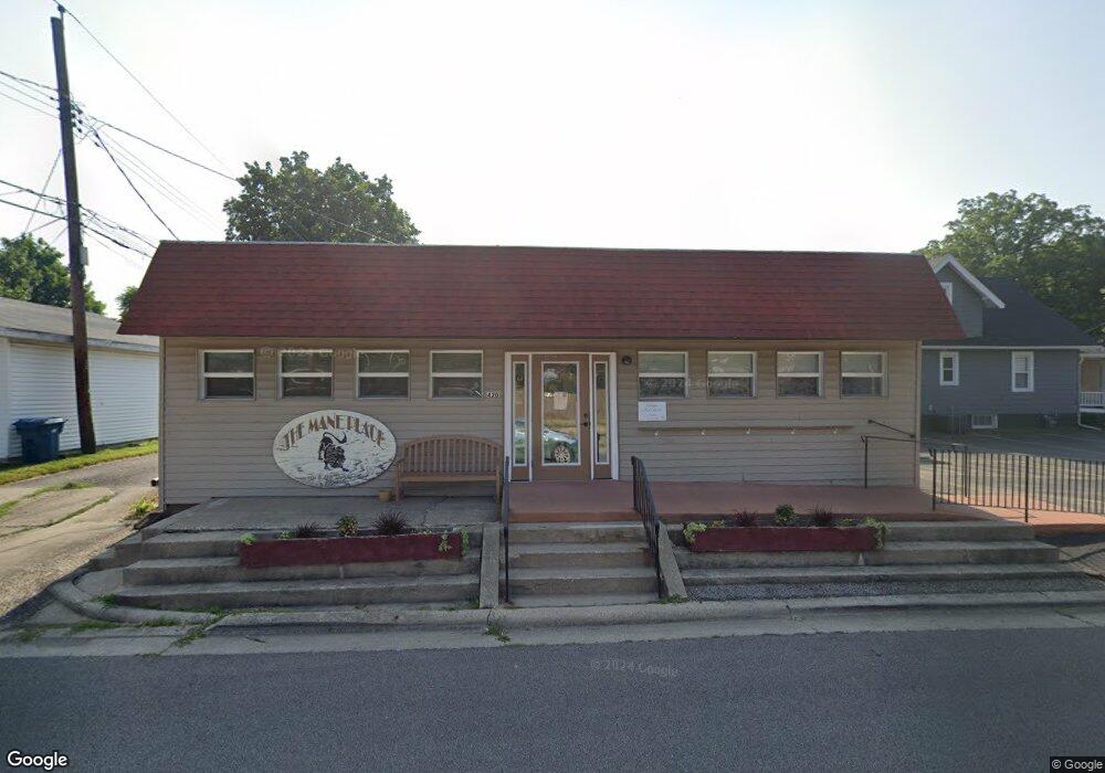
420 S Feldkamp Ave Springfield, IL 62704
Pasfield Park Place NeighborhoodEstimated Value: $77,362
--
Bed
--
Bath
1,532
Sq Ft
$50/Sq Ft
Est. Value
About This Home
This home is located at 420 S Feldkamp Ave, Springfield, IL 62704 and is currently estimated at $77,362, approximately $50 per square foot. 420 S Feldkamp Ave is a home located in Sangamon County with nearby schools including Dubois Elementary School, U.S. Grant Middle School, and Springfield High School.
Ownership History
Date
Name
Owned For
Owner Type
Purchase Details
Closed on
Dec 14, 2020
Sold by
Gerald L Mcwilliams Declaration Of Trust
Bought by
Lyons Dale and Lyons Melissa
Current Estimated Value
Home Financials for this Owner
Home Financials are based on the most recent Mortgage that was taken out on this home.
Original Mortgage
$55,000
Interest Rate
2.7%
Mortgage Type
Credit Line Revolving
Purchase Details
Closed on
Mar 6, 2013
Purchase Details
Closed on
Aug 1, 2000
Create a Home Valuation Report for This Property
The Home Valuation Report is an in-depth analysis detailing your home's value as well as a comparison with similar homes in the area
Home Values in the Area
Average Home Value in this Area
Purchase History
| Date | Buyer | Sale Price | Title Company |
|---|---|---|---|
| Lyons Dale | $55,000 | Zelle Title | |
| -- | -- | -- | |
| -- | $68,500 | -- |
Source: Public Records
Mortgage History
| Date | Status | Borrower | Loan Amount |
|---|---|---|---|
| Closed | Lyons Dale | $55,000 |
Source: Public Records
Tax History Compared to Growth
Tax History
| Year | Tax Paid | Tax Assessment Tax Assessment Total Assessment is a certain percentage of the fair market value that is determined by local assessors to be the total taxable value of land and additions on the property. | Land | Improvement |
|---|---|---|---|---|
| 2024 | $2,556 | $30,436 | $4,569 | $25,867 |
| 2023 | $2,458 | $27,800 | $4,173 | $23,627 |
| 2022 | $2,363 | $26,370 | $3,958 | $22,412 |
| 2021 | $2,285 | $25,383 | $3,810 | $21,573 |
| 2020 | $2,239 | $25,421 | $3,816 | $21,605 |
| 2019 | $2,198 | $25,333 | $3,803 | $21,530 |
| 2018 | $2,367 | $28,019 | $3,783 | $24,236 |
| 2017 | $2,318 | $27,657 | $3,734 | $23,923 |
| 2016 | $2,273 | $27,254 | $3,680 | $23,574 |
| 2015 | $2,251 | $26,928 | $3,636 | $23,292 |
| 2014 | $2,217 | $26,755 | $3,613 | $23,142 |
| 2013 | $2,168 | $26,755 | $3,613 | $23,142 |
Source: Public Records
Map
Nearby Homes
- 1517 W Jackson St
- 320 S Amos Ave
- 1532 W Edwards St
- 545 S Lincoln Ave
- 216 N Amos Ave
- 1219 W Lawrence Ave
- 1211 W Lawrence Ave
- 835 S Park Ave
- 1119 W Edwards St
- 342 S Douglas Ave
- 812 S Illinois St
- 1910 Jeanette Ln Unit 2
- 1021 W Monroe St
- 325 Cartwright Dr
- 235 N Illinois St
- 1921 Jeanette Ln Unit 2
- 1125 Williams Blvd
- 108 S Macarthur Blvd
- 2134 W Lawrence Ave
- 225 N English Ave
- 1556 W Capitol Ave
- 1549 W Governor St
- 1601 W Governor St
- 1541 W Governor St Unit 3
- 1552 W Capitol Ave
- 1605 W Governor St
- 1548 W Capitol Ave
- 1544 W Capitol Ave
- 1602 W Capitol Ave
- 1607 W Governor St
- 1540 W Capitol Ave
- 1609 W Governor St
- 1600 W Governor St
- 1536 W Capitol Ave
- 1556 W Governor St
- 1608 W Capitol Ave
- 1552 W Governor St
- 1533 W Governor St
- 1548 W Governor St
- 1611 W Governor St