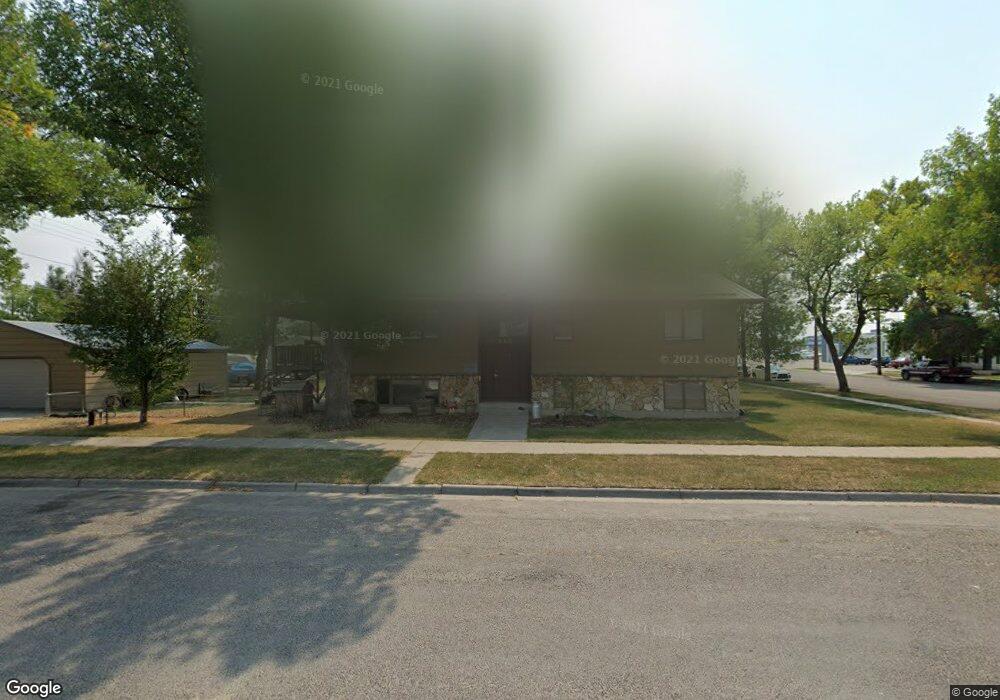
420 W 1st St Laurel, MT 59044
Estimated Value: $311,000 - $356,032
4
Beds
3
Baths
1,332
Sq Ft
$248/Sq Ft
Est. Value
About This Home
This home is located at 420 W 1st St, Laurel, MT 59044 and is currently estimated at $330,258, approximately $247 per square foot. 420 W 1st St is a home with nearby schools including West School, Fred W. Graff School, and Laurel Middle School.
Ownership History
Date
Name
Owned For
Owner Type
Purchase Details
Closed on
Sep 19, 2017
Sold by
Decker John W and Decker Colette L
Bought by
Wherley Shawna M
Current Estimated Value
Home Financials for this Owner
Home Financials are based on the most recent Mortgage that was taken out on this home.
Original Mortgage
$241,530
Outstanding Balance
$201,478
Interest Rate
3.86%
Mortgage Type
New Conventional
Estimated Equity
$128,780
Create a Home Valuation Report for This Property
The Home Valuation Report is an in-depth analysis detailing your home's value as well as a comparison with similar homes in the area
Home Values in the Area
Average Home Value in this Area
Purchase History
| Date | Buyer | Sale Price | Title Company |
|---|---|---|---|
| Wherley Shawna M | -- | Stewart Title |
Source: Public Records
Mortgage History
| Date | Status | Borrower | Loan Amount |
|---|---|---|---|
| Open | Wherley Shawna M | $241,530 |
Source: Public Records
Tax History Compared to Growth
Tax History
| Year | Tax Paid | Tax Assessment Tax Assessment Total Assessment is a certain percentage of the fair market value that is determined by local assessors to be the total taxable value of land and additions on the property. | Land | Improvement |
|---|---|---|---|---|
| 2025 | $2,801 | $379,600 | $59,950 | $319,650 |
| 2024 | $2,801 | $285,500 | $39,017 | $246,483 |
| 2023 | $2,583 | $285,500 | $39,017 | $246,483 |
| 2022 | $2,374 | $249,900 | $30,311 | $219,589 |
| 2021 | $2,394 | $249,900 | $0 | $0 |
| 2020 | $2,205 | $227,300 | $0 | $0 |
| 2019 | $2,204 | $227,300 | $0 | $0 |
| 2018 | $2,297 | $224,500 | $0 | $0 |
| 2017 | $2,136 | $224,500 | $0 | $0 |
| 2016 | $1,849 | $193,600 | $0 | $0 |
| 2015 | $1,827 | $193,600 | $0 | $0 |
| 2014 | $1,928 | $108,385 | $0 | $0 |
Source: Public Records
Map
Nearby Homes
- 116 4th Ave
- 102 8th Ave Unit B
- 211 Woodland Ave
- 301 West Ave
- 316 Durland Ave
- 110 E 5th St
- 419 Durland Ave
- 516 Pennsylvania Ave
- 1003 Montana Ave
- 717 E 5th, 506 Alder Ave
- 801 E 4th St
- 1036 9th Ave
- 711 Cougar Cir
- 1109 10th Ave
- 403 Grandview Blvd
- 1106 W 12th St
- 109 E 12th St
- 1013 W 12th St
- 518 Date Ave
- TBD Block 3 Lot 9