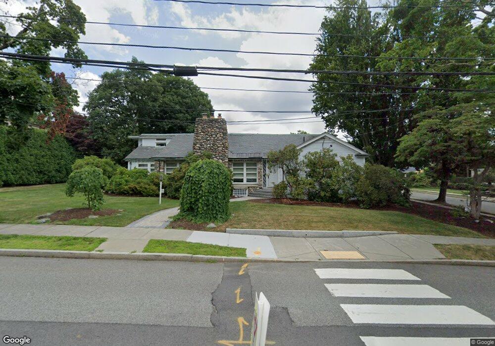
420 Waverley Ave Newton, MA 02458
Newton Corner NeighborhoodEstimated Value: $2,202,000 - $2,699,000
4
Beds
6
Baths
3,970
Sq Ft
$632/Sq Ft
Est. Value
About This Home
This home is located at 420 Waverley Ave, Newton, MA 02458 and is currently estimated at $2,510,618, approximately $632 per square foot. 420 Waverley Ave is a home located in Middlesex County with nearby schools including Ward Elementary School, Bigelow Middle School, and Newton North High School.
Ownership History
Date
Name
Owned For
Owner Type
Purchase Details
Closed on
Apr 11, 2018
Sold by
Oneal Richard J and Black Susan M
Bought by
Waverley Avenue 420 Rt
Current Estimated Value
Purchase Details
Closed on
Aug 10, 2010
Sold by
Oneal Richard J and Black Susan M
Bought by
Oneal Richard J and Black Susan M
Purchase Details
Closed on
Jul 14, 1995
Sold by
Wei James and Wei Virginia
Bought by
Oneal Richard J and Parchis Susan M
Create a Home Valuation Report for This Property
The Home Valuation Report is an in-depth analysis detailing your home's value as well as a comparison with similar homes in the area
Home Values in the Area
Average Home Value in this Area
Purchase History
| Date | Buyer | Sale Price | Title Company |
|---|---|---|---|
| Waverley Avenue 420 Rt | -- | -- | |
| Oneal Richard J | -- | -- | |
| Oneal Richard J | $450,000 | -- |
Source: Public Records
Mortgage History
| Date | Status | Borrower | Loan Amount |
|---|---|---|---|
| Previous Owner | Oneal Richard J | $228,000 | |
| Previous Owner | Oneal Richard J | $275,000 | |
| Previous Owner | Oneal Richard J | $326,000 |
Source: Public Records
Tax History Compared to Growth
Tax History
| Year | Tax Paid | Tax Assessment Tax Assessment Total Assessment is a certain percentage of the fair market value that is determined by local assessors to be the total taxable value of land and additions on the property. | Land | Improvement |
|---|---|---|---|---|
| 2025 | $17,960 | $1,832,700 | $1,589,200 | $243,500 |
| 2024 | $17,366 | $1,779,300 | $1,542,900 | $236,400 |
| 2023 | $16,698 | $1,640,300 | $1,190,700 | $449,600 |
| 2022 | $15,978 | $1,518,800 | $1,102,500 | $416,300 |
| 2021 | $15,417 | $1,432,800 | $1,040,100 | $392,700 |
| 2020 | $14,958 | $1,432,800 | $1,040,100 | $392,700 |
| 2019 | $14,537 | $1,391,100 | $1,009,800 | $381,300 |
| 2018 | $14,481 | $1,338,400 | $918,200 | $420,200 |
| 2017 | $14,040 | $1,262,600 | $866,200 | $396,400 |
| 2016 | $13,428 | $1,180,000 | $809,500 | $370,500 |
| 2015 | $12,804 | $1,102,800 | $756,500 | $346,300 |
Source: Public Records
Map
Nearby Homes
- 31 W Boulevard Rd
- 5 Merrill Rd
- 23 Francis St Unit 23-1
- 21 Francis St Unit 21A
- 59 Hyde Ave
- 44 Irving St
- 686 Centre St
- 35 George St Unit 35
- 37 George St Unit 37
- 206 Franklin St
- 106 Farlow Rd
- 67 Algonquin Rd
- 1004 Centre St
- 9 The Ledges Rd
- 73 Elmore St
- 116 Lake Shore Rd Unit 4
- 21 Glenley Terrace
- 548 Centre St Unit 5
- 142 Kenrick St Unit 36
- 108 Lake Shore Rd Unit 4