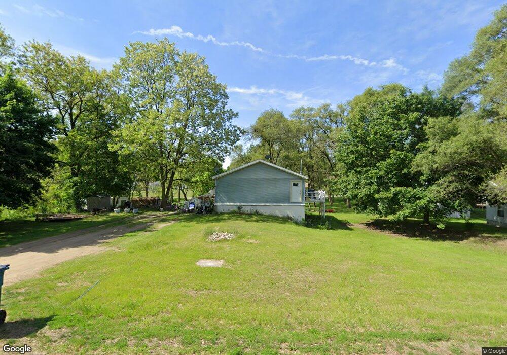
420 Wildwood Ave Battle Creek, MI 49014
Estimated Value: $83,000 - $129,289
1
Bed
2
Baths
1,560
Sq Ft
$70/Sq Ft
Est. Value
About This Home
This home is located at 420 Wildwood Ave, Battle Creek, MI 49014 and is currently estimated at $109,322, approximately $70 per square foot. 420 Wildwood Ave is a home located in Calhoun County with nearby schools including Verona Elementary School, Springfield Middle School, and Battle Creek Central High School.
Ownership History
Date
Name
Owned For
Owner Type
Purchase Details
Closed on
Aug 9, 2010
Sold by
Root Orlando G and Root Christy Lou
Bought by
Root Orlando G and Root Christy Lou
Current Estimated Value
Purchase Details
Closed on
Oct 20, 2006
Sold by
Rose Land & Finance Corp
Bought by
Root Orlando George and Root Christy L
Purchase Details
Closed on
Oct 1, 2006
Sold by
First National Acceptance Co
Bought by
Rose Land & Finance Corp
Purchase Details
Closed on
Jul 18, 2001
Sold by
Collins Ashland
Bought by
Damron Samuel George
Create a Home Valuation Report for This Property
The Home Valuation Report is an in-depth analysis detailing your home's value as well as a comparison with similar homes in the area
Home Values in the Area
Average Home Value in this Area
Purchase History
| Date | Buyer | Sale Price | Title Company |
|---|---|---|---|
| Root Orlando G | -- | None Available | |
| Root Orlando George | $12,500 | None Available | |
| Rose Land & Finance Corp | -- | None Available | |
| Damron Samuel George | $35,000 | -- |
Source: Public Records
Tax History Compared to Growth
Tax History
| Year | Tax Paid | Tax Assessment Tax Assessment Total Assessment is a certain percentage of the fair market value that is determined by local assessors to be the total taxable value of land and additions on the property. | Land | Improvement |
|---|---|---|---|---|
| 2025 | $1,459 | $41,170 | $0 | $0 |
| 2024 | $720 | $35,660 | $0 | $0 |
| 2023 | $840 | $28,000 | $0 | $0 |
| 2022 | $420 | $25,050 | $0 | $0 |
| 2021 | $784 | $16,150 | $0 | $0 |
| 2020 | $792 | $15,750 | $0 | $0 |
| 2019 | $768 | $15,750 | $0 | $0 |
| 2018 | $697 | $14,450 | $1,800 | $12,650 |
| 2017 | $697 | $13,850 | $0 | $0 |
| 2016 | $697 | $13,500 | $0 | $0 |
| 2015 | $374 | $12,700 | $5,404 | $7,296 |
| 2014 | $374 | $12,950 | $5,404 | $7,546 |
Source: Public Records
Map
Nearby Homes
- 0 Rook St Unit 25019652
- 153 Martin St
- 329 Vass Ave
- 140 Princeton St S
- 113 Rook Ct
- 23 Bradford St
- 605 Westbrook Ave
- 0 E River Rd
- 52 Maple Grove Ave
- 45 Traverse St
- 85 East Ave S
- 723 Capital Ave NE
- 0 Pickford Ave
- 28 Convis St
- 15 Sanderson St
- 28 East Ave S
- 186 Bryant St
- 179 Bryant St
- 226 Nixon
- 488 Capital Ave NE
- 424 Wildwood Ave
- 326 Wildwood Ave
- 325 Wildwood Ave
- 333 Bowers Ave
- 423 Wildwood Ave
- 427 Wildwood Ave
- 328 Wildwood Ave
- 344 Cohasset Ave
- 434 Wildwood Ave
- 325 Bowers Ave
- 407 Funston Ave
- 332 Bowers Ave
- 419 Bowers Ave
- 324 Bowers Ave
- 356 Cohasset Ave
- 319 Bowers Ave
- 0 Bowers Ave
- 322 Bowers Ave
- 317 Wildwood Ave
- 318 Bowers Ave