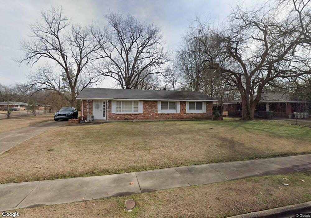
4201 Coventry Rd Montgomery, AL 36116
Estimated Value: $105,000 - $115,000
3
Beds
2
Baths
1,404
Sq Ft
$80/Sq Ft
Est. Value
About This Home
This home is located at 4201 Coventry Rd, Montgomery, AL 36116 and is currently estimated at $111,987, approximately $79 per square foot. 4201 Coventry Rd is a home located in Montgomery County with nearby schools including Johnson Elementary School, McKee Middle School, and Carver Senior High School.
Ownership History
Date
Name
Owned For
Owner Type
Purchase Details
Closed on
Jan 7, 2010
Sold by
The United States Department Of Housing
Bought by
Banks Johnny L
Current Estimated Value
Purchase Details
Closed on
Nov 4, 2009
Sold by
Citimortgage Inc
Bought by
The Secretary Of Housing & Urban Develop
Purchase Details
Closed on
Aug 25, 2009
Sold by
Hampton Patricia A
Bought by
Citimortgage Inc and Abn Amro Mortgage Group Inc
Purchase Details
Closed on
Sep 9, 2002
Sold by
Broussard Juanita B
Bought by
Hampton Patricia A
Home Financials for this Owner
Home Financials are based on the most recent Mortgage that was taken out on this home.
Original Mortgage
$71,872
Interest Rate
6.4%
Mortgage Type
FHA
Create a Home Valuation Report for This Property
The Home Valuation Report is an in-depth analysis detailing your home's value as well as a comparison with similar homes in the area
Purchase History
| Date | Buyer | Sale Price | Title Company |
|---|---|---|---|
| Banks Johnny L | -- | None Available | |
| The Secretary Of Housing & Urban Develop | -- | None Available | |
| Citimortgage Inc | $73,302 | None Available | |
| Hampton Patricia A | $73,372 | -- |
Source: Public Records
Mortgage History
| Date | Status | Borrower | Loan Amount |
|---|---|---|---|
| Previous Owner | Hampton Patricia A | $71,872 |
Source: Public Records
Tax History
| Year | Tax Paid | Tax Assessment Tax Assessment Total Assessment is a certain percentage of the fair market value that is determined by local assessors to be the total taxable value of land and additions on the property. | Land | Improvement |
|---|---|---|---|---|
| 2025 | $1,104 | $22,580 | $2,000 | $20,580 |
| 2024 | $1,163 | $23,800 | $2,000 | $21,800 |
| 2023 | $1,163 | $20,160 | $2,000 | $18,160 |
| 2022 | $626 | $17,140 | $2,000 | $15,140 |
| 2021 | $522 | $14,300 | $2,000 | $12,300 |
| 2020 | $522 | $14,300 | $2,000 | $12,300 |
| 2019 | $522 | $14,300 | $2,000 | $12,300 |
| 2018 | $522 | $14,300 | $0 | $0 |
| 2017 | $499 | $13,660 | $2,000 | $11,660 |
| 2014 | -- | $12,820 | $2,000 | $10,820 |
| 2013 | -- | $12,700 | $2,000 | $10,700 |
Source: Public Records
Map
Nearby Homes
- 4225 Sunshine Dr
- 4251 Sunshine Dr
- 1428 Flamingo Ln
- 836 Wesley Dr
- 4507 Coventry Rd
- 1347 Bancroft Ave
- 4513 Coventry Rd
- 1009 Druid Hills Dr
- 1346 Biscayne Dr
- 1348 Marco Rd
- 1375 Biscayne Dr
- 1381 Biscayne Dr
- 1032 Roslyn Dr
- 1712 Marlowe Dr
- 3731 Berkley Dr
- 545 Winston Dr
- 3751 Wesley Dr
- 514 Winston Dr
- 533 Winston Dr Unit 3C
- 4097 Narrow Lane Rd
- 4207 Coventry Rd
- 1112 Marlowe Dr
- 4257 Coventry Rd
- 1107 Marlowe Dr
- 1101 Marlowe Dr
- 1103 Devonshire Dr
- 4200 Coventry Rd
- 1118 Marlowe Dr
- 1113 Marlowe Dr
- 1109 Devonshire Dr
- 1009 Marlowe Dr
- 4208 Coventry Rd
- 1119 Marlowe Dr
- 1115 Devonshire Dr
- 1124 Marlowe Dr
- 4214 Coventry Rd
- 1125 Marlowe Dr
- 1121 Devonshire Dr
- 4257 Sunshine Dr
- 4303 Coventry Rd
Your Personal Tour Guide
Ask me questions while you tour the home.