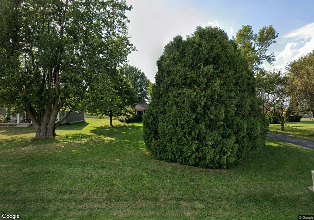
4201 Lindsey Rd Champaign, IL 61822
Estimated Value: $254,000 - $309,000
--
Bed
--
Bath
1,234
Sq Ft
$224/Sq Ft
Est. Value
About This Home
This home is located at 4201 Lindsey Rd, Champaign, IL 61822 and is currently estimated at $276,873, approximately $224 per square foot. 4201 Lindsey Rd is a home located in Champaign County with nearby schools including Centennial High School, First School, and Mahomet Christian School.
Ownership History
Date
Name
Owned For
Owner Type
Purchase Details
Closed on
Dec 8, 2006
Sold by
Allen Johnathan J and Hughey Allen Amanda
Bought by
Alsip Michael R and King Jessica R
Current Estimated Value
Home Financials for this Owner
Home Financials are based on the most recent Mortgage that was taken out on this home.
Original Mortgage
$124,400
Outstanding Balance
$74,459
Interest Rate
6.33%
Mortgage Type
Purchase Money Mortgage
Estimated Equity
$202,414
Create a Home Valuation Report for This Property
The Home Valuation Report is an in-depth analysis detailing your home's value as well as a comparison with similar homes in the area
Home Values in the Area
Average Home Value in this Area
Purchase History
| Date | Buyer | Sale Price | Title Company |
|---|---|---|---|
| Alsip Michael R | $155,500 | Allied Title Services |
Source: Public Records
Mortgage History
| Date | Status | Borrower | Loan Amount |
|---|---|---|---|
| Open | Alsip Michael R | $124,400 |
Source: Public Records
Tax History Compared to Growth
Tax History
| Year | Tax Paid | Tax Assessment Tax Assessment Total Assessment is a certain percentage of the fair market value that is determined by local assessors to be the total taxable value of land and additions on the property. | Land | Improvement |
|---|---|---|---|---|
| 2024 | $5,089 | $80,910 | $13,330 | $67,580 |
| 2023 | $5,089 | $73,280 | $12,070 | $61,210 |
| 2022 | $4,794 | $67,790 | $11,170 | $56,620 |
| 2021 | $4,561 | $64,930 | $10,700 | $54,230 |
| 2020 | $4,401 | $62,490 | $10,300 | $52,190 |
| 2019 | $4,328 | $62,490 | $10,300 | $52,190 |
| 2018 | $4,178 | $60,490 | $9,970 | $50,520 |
| 2017 | $4,187 | $60,490 | $9,970 | $50,520 |
| 2016 | $3,483 | $56,060 | $9,240 | $46,820 |
| 2015 | $3,481 | $54,690 | $9,010 | $45,680 |
| 2014 | $3,374 | $53,720 | $8,850 | $44,870 |
| 2013 | $3,282 | $53,130 | $8,750 | $44,380 |
Source: Public Records
Map
Nearby Homes
- 1619 Peppermill Ln
- 35 W Olympian Dr
- 903 S Trailside Dr
- 1602 Bluegrass Ln
- 3901 Slate Dr
- 1518 Stonebluff Ct
- 1516 Stonebluff Ct
- 1310 N Rising Rd
- 6 lots Boulder Ridge Dr
- 1504 Stonebluff Ct
- 1403 Peppermill Ln
- 3712 Lighthouse Pointe
- 1409 Sand Dollar Dr
- 1407 Sand Dollar Dr
- 3402 N Duncan Rd
- 3723 Sandstone Dr
- 1609 Rion Dr
- 3704 Balcary Bay Unit none
- 1150 Vision Cir
- 1116 Vision Cir
- 4205 Lindsey Rd
- 4105 Lindsey Rd
- 0 Lindsey
- 4103 Lindsey Rd
- 4708 W Bloomington Rd
- 4712 W Bloomington Rd
- 4702 W Bloomington Rd
- 4806 W Bloomington Rd
- 4008 Lindsey Rd
- 4808 W Bloomington Rd
- 4809 W Bloomington Rd
- 4812 W Bloomington Rd
- 4814 W Bloomington Rd
- 4814 W Bloomington Rd
- 4814 W Bloomington Rd Unit A
- 4914 W Bloomington Rd
- 5004 W Bluebill Rd
- 5008 W Bluebill Rd
- 4514 Lindsey Rd
- 5104 W Bluebill Rd
