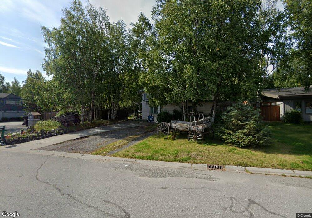
4201 Tahoe Dr Anchorage, AK 99502
Sand Lake NeighborhoodEstimated Value: $304,000 - $603,011
3
Beds
2
Baths
1,965
Sq Ft
$242/Sq Ft
Est. Value
About This Home
This home is located at 4201 Tahoe Dr, Anchorage, AK 99502 and is currently estimated at $475,337, approximately $241 per square foot. 4201 Tahoe Dr is a home located in Anchorage Municipality with nearby schools including Kincaid Elementary, Mears Middle School, and Dimond High School.
Ownership History
Date
Name
Owned For
Owner Type
Purchase Details
Closed on
Aug 18, 2025
Sold by
Schroeder Douglas E and Schroeder Kollette
Bought by
Schroeder Kollette Elizabeth
Current Estimated Value
Home Financials for this Owner
Home Financials are based on the most recent Mortgage that was taken out on this home.
Original Mortgage
$378,000
Outstanding Balance
$377,675
Interest Rate
6.75%
Mortgage Type
New Conventional
Estimated Equity
$97,662
Purchase Details
Closed on
Apr 20, 1995
Sold by
Mattson John L
Bought by
Schroeder Douglas E and Schroeder Kollette
Home Financials for this Owner
Home Financials are based on the most recent Mortgage that was taken out on this home.
Original Mortgage
$138,000
Interest Rate
8.77%
Mortgage Type
FHA
Create a Home Valuation Report for This Property
The Home Valuation Report is an in-depth analysis detailing your home's value as well as a comparison with similar homes in the area
Home Values in the Area
Average Home Value in this Area
Purchase History
| Date | Buyer | Sale Price | Title Company |
|---|---|---|---|
| Schroeder Kollette Elizabeth | -- | Sta (Stewart Title Of Alaska) | |
| Schroeder Douglas E | -- | -- |
Source: Public Records
Mortgage History
| Date | Status | Borrower | Loan Amount |
|---|---|---|---|
| Open | Schroeder Kollette Elizabeth | $378,000 | |
| Previous Owner | Schroeder Douglas E | $138,000 |
Source: Public Records
Tax History Compared to Growth
Tax History
| Year | Tax Paid | Tax Assessment Tax Assessment Total Assessment is a certain percentage of the fair market value that is determined by local assessors to be the total taxable value of land and additions on the property. | Land | Improvement |
|---|---|---|---|---|
| 2025 | $7,328 | $549,100 | $146,300 | $402,800 |
| 2024 | $7,328 | $528,900 | $146,300 | $382,600 |
| 2023 | $8,273 | $485,800 | $146,300 | $339,500 |
| 2022 | $7,236 | $479,700 | $146,400 | $333,300 |
| 2021 | $7,925 | $439,800 | $146,400 | $293,400 |
| 2020 | $6,543 | $435,200 | $146,400 | $288,800 |
| 2019 | $6,312 | $435,800 | $146,400 | $289,400 |
| 2018 | $5,750 | $400,600 | $118,200 | $282,400 |
| 2017 | $6,029 | $405,000 | $118,200 | $286,800 |
| 2016 | $5,029 | $404,200 | $112,600 | $291,600 |
| 2015 | $5,029 | $398,600 | $112,600 | $286,000 |
| 2014 | $5,029 | $379,600 | $112,600 | $267,000 |
Source: Public Records
Map
Nearby Homes
- 4341 Edinburgh Dr
- 4240 Endeavor Cir
- 3806 N Point Cir
- L13 Quartz Cir
- L11 Quartz Cir
- Lot 8 Quartz Cir
- 3769 Quartz Cir
- 4530 Macalister Dr
- 4079 Easter Island Cir
- 4047 Easter Island Cir
- 9122 Lakehurst Dr
- 3948 Easter Island Cir
- 4087 Chiniak Bay Dr
- 9336 Blackberry St Unit 5
- 3461 Red Rock Ct
- 5400 W Dimond Blvd Unit E17
- L7 Molanary Dr
- L8 Molanary Dr
- L3 Molanary Dr
- 3211 Amber Bay Loop
- 4201 N Point Dr
- 4240 Tahoe Dr
- 4230 Tahoe Dr
- 4241 Tahoe Dr
- 4200 North Point Dr
- 4150 North Point Dr
- 4220 Tahoe Dr
- 4140 North Point Dr
- 4231 Tahoe Dr
- 4220 N Point Dr
- 4130 N Point Dr
- 4221 Tahoe Dr
- 4210 Tahoe Dr
- 4220 North Point Dr
- 4130 North Point Dr
- 4140 Tahoe Dr
- 4121 North Point Dr
- 4130 Tahoe Dr
- 4120 North Point Dr
- 4200 Tahoe Dr