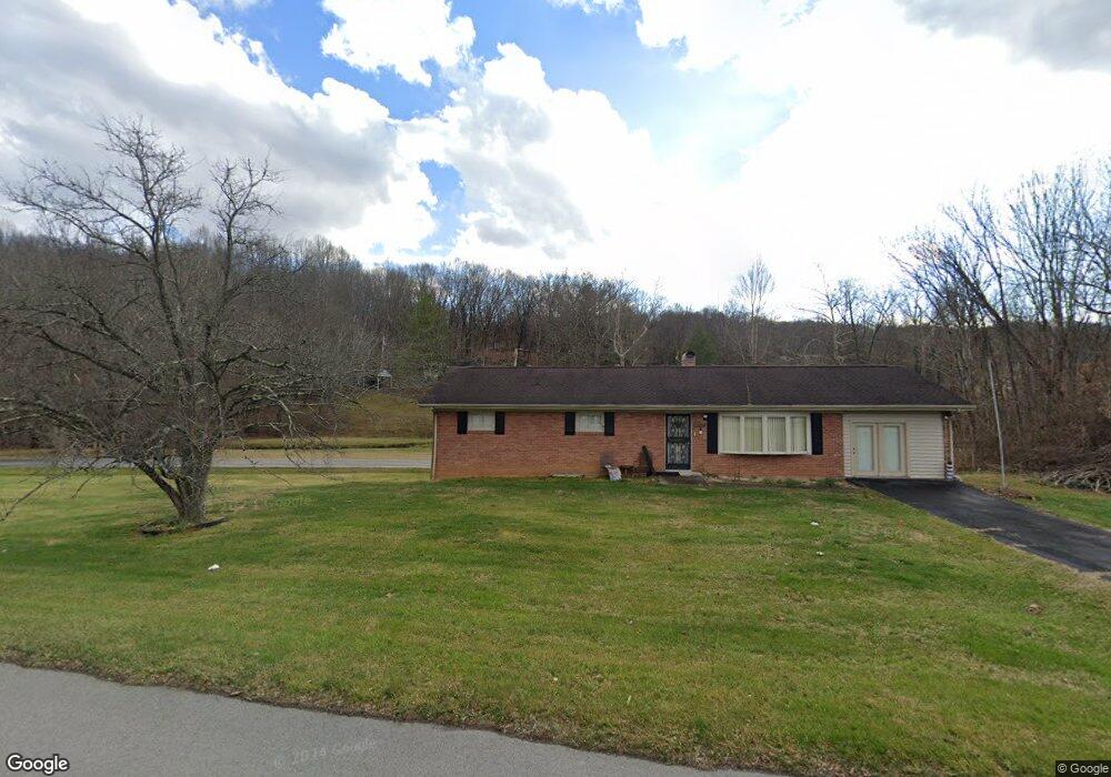
4202 Highway 11 W Blountville, TN 37617
Estimated Value: $265,000 - $304,903
--
Bed
2
Baths
1,674
Sq Ft
$169/Sq Ft
Est. Value
About This Home
This home is located at 4202 Highway 11 W, Blountville, TN 37617 and is currently estimated at $282,476, approximately $168 per square foot. 4202 Highway 11 W is a home located in Sullivan County with nearby schools including Central Heights Elementary School and Sullivan Central Middle School.
Ownership History
Date
Name
Owned For
Owner Type
Purchase Details
Closed on
Jul 25, 2018
Sold by
Rodefer Anthony Brett and Rodefer Sara
Bought by
Armstrong Kyle Brandon
Current Estimated Value
Home Financials for this Owner
Home Financials are based on the most recent Mortgage that was taken out on this home.
Original Mortgage
$115,200
Outstanding Balance
$100,059
Interest Rate
4.6%
Mortgage Type
New Conventional
Estimated Equity
$182,417
Purchase Details
Closed on
Aug 25, 2017
Sold by
Burrus Mary Ann and Ashley Deborah Faye
Bought by
Rodefer Anthony Brett and Rodefer Sara
Home Financials for this Owner
Home Financials are based on the most recent Mortgage that was taken out on this home.
Original Mortgage
$135,757
Interest Rate
3.92%
Mortgage Type
New Conventional
Purchase Details
Closed on
May 30, 1986
Create a Home Valuation Report for This Property
The Home Valuation Report is an in-depth analysis detailing your home's value as well as a comparison with similar homes in the area
Home Values in the Area
Average Home Value in this Area
Purchase History
| Date | Buyer | Sale Price | Title Company |
|---|---|---|---|
| Armstrong Kyle Brandon | $144,000 | Evergreen Title & Closing | |
| Rodefer Anthony Brett | $134,400 | Reliable Title | |
| -- | $65,000 | -- |
Source: Public Records
Mortgage History
| Date | Status | Borrower | Loan Amount |
|---|---|---|---|
| Open | Armstrong Kyle Brandon | $115,200 | |
| Previous Owner | Rodefer Anthony Brett | $135,757 |
Source: Public Records
Tax History Compared to Growth
Tax History
| Year | Tax Paid | Tax Assessment Tax Assessment Total Assessment is a certain percentage of the fair market value that is determined by local assessors to be the total taxable value of land and additions on the property. | Land | Improvement |
|---|---|---|---|---|
| 2024 | $900 | $36,050 | $4,500 | $31,550 |
| 2023 | $867 | $36,050 | $4,500 | $31,550 |
| 2022 | $867 | $36,050 | $4,500 | $31,550 |
| 2021 | $867 | $36,050 | $4,500 | $31,550 |
| 2020 | $876 | $36,050 | $4,500 | $31,550 |
| 2019 | $876 | $34,100 | $4,500 | $29,600 |
| 2018 | $870 | $34,100 | $4,500 | $29,600 |
| 2017 | $870 | $34,100 | $4,500 | $29,600 |
| 2016 | $837 | $32,500 | $4,500 | $28,000 |
| 2014 | $749 | $32,480 | $0 | $0 |
Source: Public Records
Map
Nearby Homes
- 4401 Hwy 11w
- 723 Central Heights Rd
- 422 Droke Ln
- 782 Harr Town Rd
- 4020 Highway 11 W
- Tbd Evergreen Dr
- 468 Akard Ln
- 2395 Island Rd
- 2892 Island Rd
- 1270 Ridgetop Trail
- 1226 Ridgetop Trail
- 338 Golf Ridge Dr
- 1234 Ridgetop Trail
- 000 Fleenor Dr
- 309 Golf Ridge Dr
- 343 Barr Rd
- 332 Montezuma Rd
- Tbd New Hurland Church Ln
- 1084 Highway 394
- 125 Golf Ridge Dr