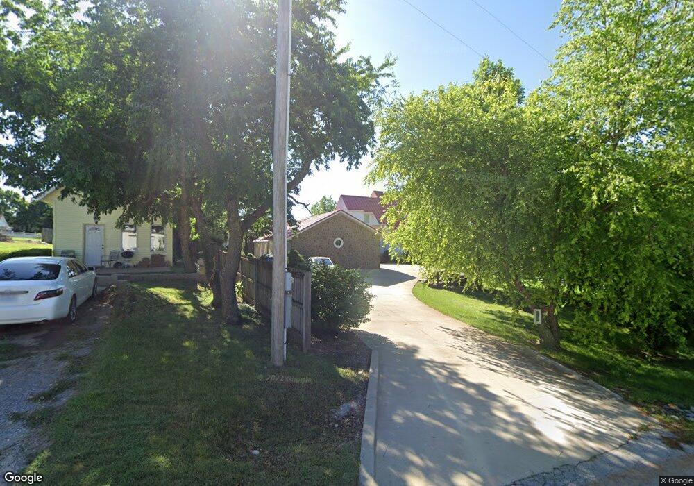
4202 N Link Ave Springfield, MO 65803
Estimated Value: $400,000 - $738,888
3
Beds
4
Baths
4,320
Sq Ft
$122/Sq Ft
Est. Value
About This Home
This home is located at 4202 N Link Ave, Springfield, MO 65803 and is currently estimated at $527,963, approximately $122 per square foot. 4202 N Link Ave is a home located in Greene County with nearby schools including Pleasant View K-8 School, Hillcrest High School, and Dayspring Christian School.
Ownership History
Date
Name
Owned For
Owner Type
Purchase Details
Closed on
Oct 8, 2021
Sold by
Spradlin Douglas W and Spradlin Natalie Menzies
Bought by
Spradlin Douglas W and Spradlin Natalie Menzies
Current Estimated Value
Create a Home Valuation Report for This Property
The Home Valuation Report is an in-depth analysis detailing your home's value as well as a comparison with similar homes in the area
Purchase History
| Date | Buyer | Sale Price | Title Company |
|---|---|---|---|
| Spradlin Douglas W | -- | None Available |
Source: Public Records
Tax History
| Year | Tax Paid | Tax Assessment Tax Assessment Total Assessment is a certain percentage of the fair market value that is determined by local assessors to be the total taxable value of land and additions on the property. | Land | Improvement |
|---|---|---|---|---|
| 2025 | $5,326 | $98,480 | $7,700 | $90,780 |
| 2024 | $5,070 | $87,580 | $5,260 | $82,320 |
| 2023 | $5,044 | $87,580 | $5,260 | $82,320 |
| 2022 | $3,966 | $67,490 | $5,260 | $62,230 |
| 2021 | $3,794 | $67,490 | $5,260 | $62,230 |
| 2020 | $3,796 | $64,120 | $5,260 | $58,860 |
| 2019 | $3,690 | $64,120 | $5,260 | $58,860 |
| 2018 | $3,846 | $66,490 | $5,260 | $61,230 |
| 2017 | $1,761 | $30,660 | $3,440 | $27,220 |
| 2016 | $1,754 | $30,660 | $3,440 | $27,220 |
| 2015 | $1,741 | $30,660 | $3,440 | $27,220 |
| 2014 | $1,706 | $30,070 | $3,440 | $26,630 |
Source: Public Records
Map
Nearby Homes
- 4541b N Lanier Ln
- 4541 N Lanier Ln
- 2393 E Valley Water Mill Rd
- 3630 Snowmass Cir
- Tract C N Farm Road 173
- 1923 E Valley Water Mill Rd
- 1626 E Farm Road 92
- 3983 N Courtney Cir
- 4260 N State Highway H
- 3753 N Pickwick Ave
- 3749 N Pickwick Ave
- 1338 E Burntwood St
- 3424 N Darwin Ave
- 1270 E Ogorman Ct
- 3957 N Springlawn Ave
- 3861 Slavens Ave
- 1917 E Smith St
- 1310 E Bonaire Ct
- 5328 N State Highway H
- 1502 E McClernon St
- 2010 E Farm Road 94
- 2024 E Farm Road 94
- 2040 E Farm Road 94
- 4279 N Link Ave
- 1930 E Farm Road 94
- 1908 E Farm Road 94
- 4157 N Link Ave
- 4221 N Farm Road 171
- 1862 E Farm Road 94
- 4175 N Farm Road 171
- 1849 E Farm Road 94
- 3993 N Bannister Ave
- 3986 N Bannister Ave
- 1853 E Woodbine St
- 3980 N Bannister Ave
- 1847 E Woodbine St
- 3985 N Bannister Ave
- 1839 E Woodbine St
- 3974 N Bannister Ave
- 3986 N Dysart Ave
Your Personal Tour Guide
Ask me questions while you tour the home.