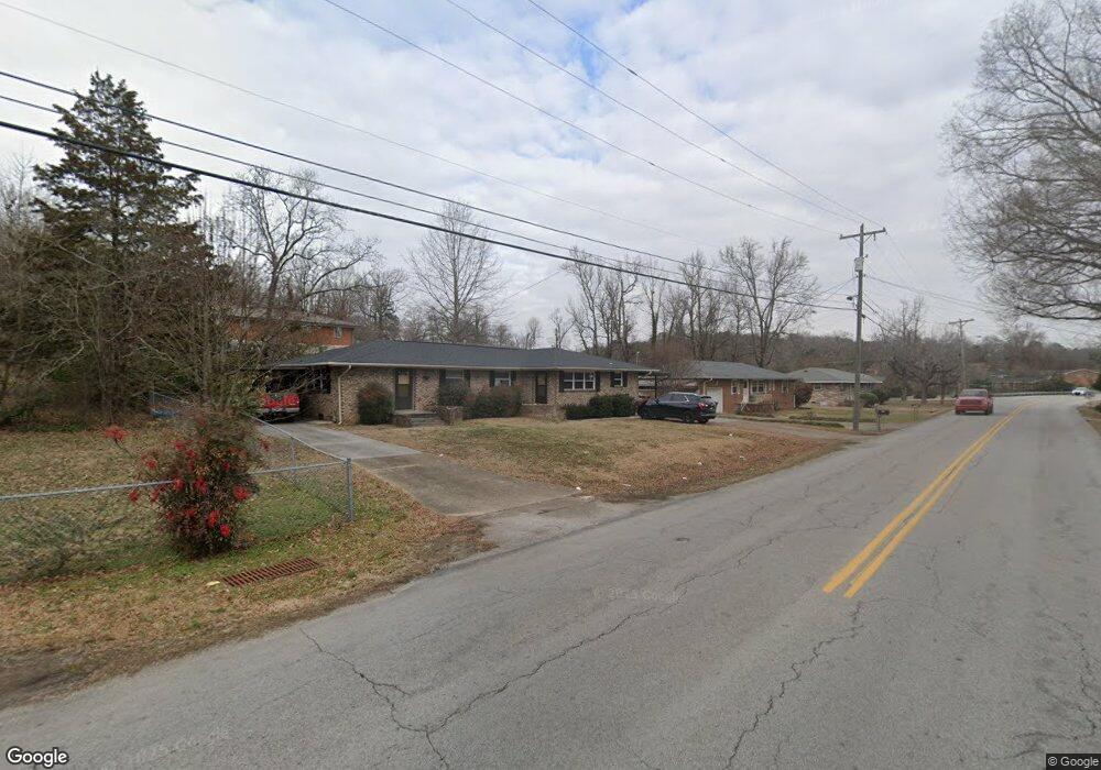
4203 Norcross Rd Hixson, TN 37343
Lupton City NeighborhoodEstimated Value: $278,000 - $356,000
--
Bed
2
Baths
1,750
Sq Ft
$180/Sq Ft
Est. Value
About This Home
This home is located at 4203 Norcross Rd, Hixson, TN 37343 and is currently estimated at $314,962, approximately $179 per square foot. 4203 Norcross Rd is a home located in Hamilton County with nearby schools including DuPont Elementary School, Red Bank Middle School, and Red Bank High School.
Ownership History
Date
Name
Owned For
Owner Type
Purchase Details
Closed on
Dec 7, 2011
Sold by
Cofer W A and Cofer Martha Carolyn
Bought by
Hodges Douglas R and Hodges Paula B
Current Estimated Value
Home Financials for this Owner
Home Financials are based on the most recent Mortgage that was taken out on this home.
Original Mortgage
$80,000
Outstanding Balance
$8,910
Interest Rate
4.5%
Mortgage Type
Seller Take Back
Estimated Equity
$306,052
Purchase Details
Closed on
Jun 2, 1995
Sold by
Armstrong G J G and Armstrong Louise F
Bought by
Caro Cofer W and Caro Martha
Create a Home Valuation Report for This Property
The Home Valuation Report is an in-depth analysis detailing your home's value as well as a comparison with similar homes in the area
Home Values in the Area
Average Home Value in this Area
Purchase History
| Date | Buyer | Sale Price | Title Company |
|---|---|---|---|
| Hodges Douglas R | $80,000 | Pioneer Title Agency Inc | |
| Caro Cofer W | $40,000 | -- |
Source: Public Records
Mortgage History
| Date | Status | Borrower | Loan Amount |
|---|---|---|---|
| Open | Hodges Douglas R | $80,000 |
Source: Public Records
Tax History Compared to Growth
Tax History
| Year | Tax Paid | Tax Assessment Tax Assessment Total Assessment is a certain percentage of the fair market value that is determined by local assessors to be the total taxable value of land and additions on the property. | Land | Improvement |
|---|---|---|---|---|
| 2024 | $1,611 | $72,000 | $0 | $0 |
| 2023 | $1,611 | $72,000 | $0 | $0 |
| 2022 | $1,611 | $72,000 | $0 | $0 |
| 2021 | $1,611 | $72,000 | $0 | $0 |
| 2020 | $927 | $33,520 | $0 | $0 |
| 2019 | $927 | $33,520 | $0 | $0 |
| 2018 | $890 | $33,520 | $0 | $0 |
| 2017 | $927 | $33,520 | $0 | $0 |
| 2016 | $888 | $0 | $0 | $0 |
| 2015 | $1,745 | $32,120 | $0 | $0 |
| 2014 | $1,745 | $0 | $0 | $0 |
Source: Public Records
Map
Nearby Homes
- 955 Brynwood Dr
- 1329 Highland Way
- 1325 Highland Rd
- 1328 Highland Rd
- 961 Ashland Terrace
- 3609 Forest Highland Dr
- 410 Bardwood Ln
- 1216 Clermont Dr
- 3944 Azalean Dr
- 3802 Jarren Ct
- 3906 Forest Highland Cir
- 1237 Cranbrook Dr
- 1214 Clermont Dr
- 4609 Plaza Hills Ln
- 3909 Memphis Dr
- 1004 Brynehill Ln
- 4529 Sherry Ln
- 4706 Eldridge Rd
- 1716 Strawberry Ln
- 711 Mauldeth Rd
- 4205 Norcross Rd
- 4206 Watson Rd
- 4204 Watson Rd
- 4208 Watson Rd
- 4202 Norcross Rd
- 4207 Norcross Rd
- 4207 Norcross Rd Unit 1
- 4206 Norcross Rd
- 4118 Norcross Rd
- 4115 Norcross Rd
- 4123 Watson Rd
- 4210 Norcross Rd
- 2 Joni Cir
- 1 Joni Cir
- 0 Joni Cir
- 0 Joni Cir Unit 1366192
- 0 Joni Cir Unit 1200633
- 0 Joni Cir Unit RTC2325183
- 0 Joni Cir Unit 1258895
- 4116 Norcross Rd