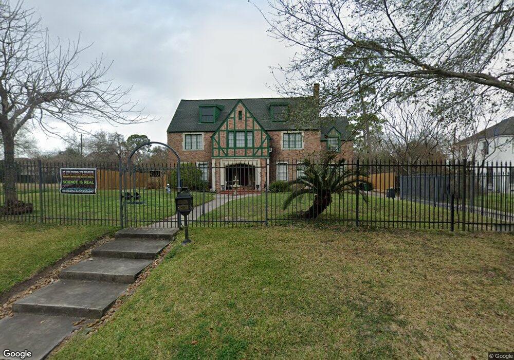
4203 Roseneath Dr Houston, TX 77021
MacGregor NeighborhoodEstimated Value: $515,808 - $659,000
4
Beds
3
Baths
2,888
Sq Ft
$208/Sq Ft
Est. Value
About This Home
This home is located at 4203 Roseneath Dr, Houston, TX 77021 and is currently estimated at $599,952, approximately $207 per square foot. 4203 Roseneath Dr is a home located in Harris County with nearby schools including Peck Elementary School, Cullen Middle School, and Yates High School.
Ownership History
Date
Name
Owned For
Owner Type
Purchase Details
Closed on
Jun 28, 2012
Sold by
Anderson Glennelle
Bought by
Emami Nadine M
Current Estimated Value
Home Financials for this Owner
Home Financials are based on the most recent Mortgage that was taken out on this home.
Original Mortgage
$162,750
Outstanding Balance
$113,033
Interest Rate
3.8%
Mortgage Type
New Conventional
Estimated Equity
$486,919
Purchase Details
Closed on
Dec 28, 2006
Sold by
Mouton Jerome A
Bought by
Emami Nadine M
Home Financials for this Owner
Home Financials are based on the most recent Mortgage that was taken out on this home.
Original Mortgage
$177,219
Interest Rate
6.09%
Mortgage Type
FHA
Create a Home Valuation Report for This Property
The Home Valuation Report is an in-depth analysis detailing your home's value as well as a comparison with similar homes in the area
Home Values in the Area
Average Home Value in this Area
Purchase History
| Date | Buyer | Sale Price | Title Company |
|---|---|---|---|
| Emami Nadine M | -- | None Available | |
| Emami Nadine M | -- | Commonwealth Title |
Source: Public Records
Mortgage History
| Date | Status | Borrower | Loan Amount |
|---|---|---|---|
| Open | Emami Nadine M | $162,750 | |
| Previous Owner | Emami Nadine M | $177,219 |
Source: Public Records
Tax History Compared to Growth
Tax History
| Year | Tax Paid | Tax Assessment Tax Assessment Total Assessment is a certain percentage of the fair market value that is determined by local assessors to be the total taxable value of land and additions on the property. | Land | Improvement |
|---|---|---|---|---|
| 2025 | $7,023 | $491,415 | $292,600 | $198,815 |
| 2024 | $7,023 | $482,192 | $292,600 | $189,592 |
| 2023 | $7,023 | $455,595 | $292,600 | $162,995 |
| 2022 | $9,012 | $442,414 | $292,600 | $149,814 |
| 2021 | $8,241 | $353,595 | $212,800 | $140,795 |
| 2020 | $8,440 | $332,747 | $212,800 | $119,947 |
| 2019 | $8,742 | $330,472 | $212,800 | $117,672 |
| 2018 | $6,421 | $330,472 | $212,800 | $117,672 |
| 2017 | $8,736 | $330,472 | $212,800 | $117,672 |
| 2016 | $8,051 | $330,472 | $212,800 | $117,672 |
| 2015 | $5,024 | $330,472 | $212,800 | $117,672 |
| 2014 | $5,024 | $251,693 | $133,000 | $118,693 |
Source: Public Records
Map
Nearby Homes
- 0 S Macgregor Way Unit 94380145
- 4211 Charleston St
- 4302 Fernwood Dr
- 4031 Fernwood Dr
- 4107 Charleston St
- 4310 Fernwood Dr
- 4315 Fernwood Dr
- 4327 Alconbury Ln
- 3862 Wichita St
- 4435 Old Spanish Trail
- 3827 Julius Ln
- 0 Southmore Blvd
- 4014 England Ct E
- 3853 Rosedale St
- 3834 Rosedale St
- 3858 Arbor St
- 3854 Arbor St
- 4013 Griggs Rd Unit E
- 4013 Griggs Rd Unit D
- 5108 Scott St
- 4202 S Macgregor Way
- 4207 Roseneath Dr
- 4115 Roseneath Dr
- 4114 S Macgregor Way
- 0 S Macgregor Way Unit 82625488
- 0 S Macgregor Way Unit 2296310
- 4211 Roseneath Dr
- 4106 S Macgregor Way
- 4111 Roseneath Dr
- 4122 Roseneath Dr
- 4118 Roseneath Dr
- 4215 Roseneath Dr
- 4202 Roseneath Dr
- 4114 Roseneath Dr
- 4206 Roseneath Dr
- 4219 Roseneath Dr
- 4110 Roseneath Dr
- 4101 Roseneath Dr
- 4100 S Macgregor Way
- 4102 S Macgregor Way