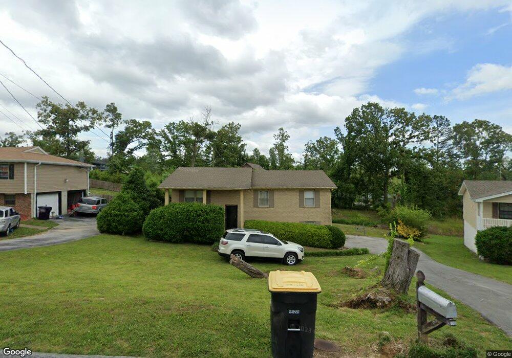
4204 Shady Oak Dr Ooltewah, TN 37363
Estimated Value: $343,000 - $354,625
3
Beds
3
Baths
1,620
Sq Ft
$215/Sq Ft
Est. Value
About This Home
This home is located at 4204 Shady Oak Dr, Ooltewah, TN 37363 and is currently estimated at $347,656, approximately $214 per square foot. 4204 Shady Oak Dr is a home located in Hamilton County with nearby schools including Wolftever Creek Elementary School, Ooltewah Middle School, and Ooltewah High School.
Ownership History
Date
Name
Owned For
Owner Type
Purchase Details
Closed on
Jul 2, 1999
Sold by
Owen Thomas A
Bought by
Henshall W Joe
Current Estimated Value
Home Financials for this Owner
Home Financials are based on the most recent Mortgage that was taken out on this home.
Original Mortgage
$92,250
Outstanding Balance
$25,167
Interest Rate
7.23%
Estimated Equity
$322,489
Purchase Details
Closed on
Feb 12, 1996
Sold by
Owen Melissa D
Bought by
Owen Thomas Alvin
Purchase Details
Closed on
Apr 27, 1995
Sold by
Rosenbalm David and Rosenbalm Tonya
Bought by
Owen Melissa D and Owen Thomas A
Create a Home Valuation Report for This Property
The Home Valuation Report is an in-depth analysis detailing your home's value as well as a comparison with similar homes in the area
Home Values in the Area
Average Home Value in this Area
Purchase History
| Date | Buyer | Sale Price | Title Company |
|---|---|---|---|
| Henshall W Joe | $123,000 | -- | |
| Owen Thomas Alvin | -- | -- | |
| Owen Melissa D | $129,900 | -- |
Source: Public Records
Mortgage History
| Date | Status | Borrower | Loan Amount |
|---|---|---|---|
| Open | Henshall W Joe | $92,250 |
Source: Public Records
Tax History Compared to Growth
Tax History
| Year | Tax Paid | Tax Assessment Tax Assessment Total Assessment is a certain percentage of the fair market value that is determined by local assessors to be the total taxable value of land and additions on the property. | Land | Improvement |
|---|---|---|---|---|
| 2024 | $1,017 | $45,475 | $0 | $0 |
| 2023 | $1,026 | $45,475 | $0 | $0 |
| 2022 | $1,026 | $45,475 | $0 | $0 |
| 2021 | $1,026 | $45,475 | $0 | $0 |
| 2020 | $1,132 | $40,600 | $0 | $0 |
| 2019 | $1,132 | $40,600 | $0 | $0 |
| 2018 | $1,132 | $40,600 | $0 | $0 |
| 2017 | $1,132 | $40,600 | $0 | $0 |
| 2016 | $1,093 | $0 | $0 | $0 |
| 2015 | $1,093 | $39,200 | $0 | $0 |
| 2014 | $1,093 | $0 | $0 | $0 |
Source: Public Records
Map
Nearby Homes
- 4101 Shady Oak Dr
- 8155 Burgundy Cir
- 8188 Burgundy Cir
- 3910 Brock Rd
- 7610 Glocester Ct
- 2942 Old Britain Cir
- 4210 Pattentown Rd
- 8112 Fallen Maple Dr
- 8014 Bork Memorial Dr
- 8016 Standifer Gap Rd
- 7819 Stonehenge Dr
- 4742 Buckingham Dr
- 4746 Buckingham Dr
- 4229 Pattentown Rd
- 4225 Pattentown Rd
- 4221 Pattentown Rd
- 2881 Old Britain Cir
- 8354 Wild Fig Ln
- 4738 Buckingham Dr
- 0 Bork Memorial Dr Unit RTC3015306
- 4112 Shady Oak Dr
- 4110 Shady Oak Dr Unit 2
- 4221 Green Shanty Rd
- 4114 Shady Oak Dr
- 4206 Shady Oak Dr
- 4208 Shady Oak Dr
- 4121 Lost Oak Dr
- 4121 Lost Oaks Dr
- 4125 Lost Oak Dr
- 4125 Lost Oaks Dr
- 4202 Shady Oak Dr
- 4119 Lost Oak Dr
- 4119 Lost Oaks Dr
- 4200 Shady Oak Dr
- 4127 Lost Oak Dr
- 4127 Lost Oaks Dr
- 4216 Shady Oak Dr
- 4106 Shady Oak Dr
- 4117 Lost Oak Dr
- 4117 Lost Oaks Dr