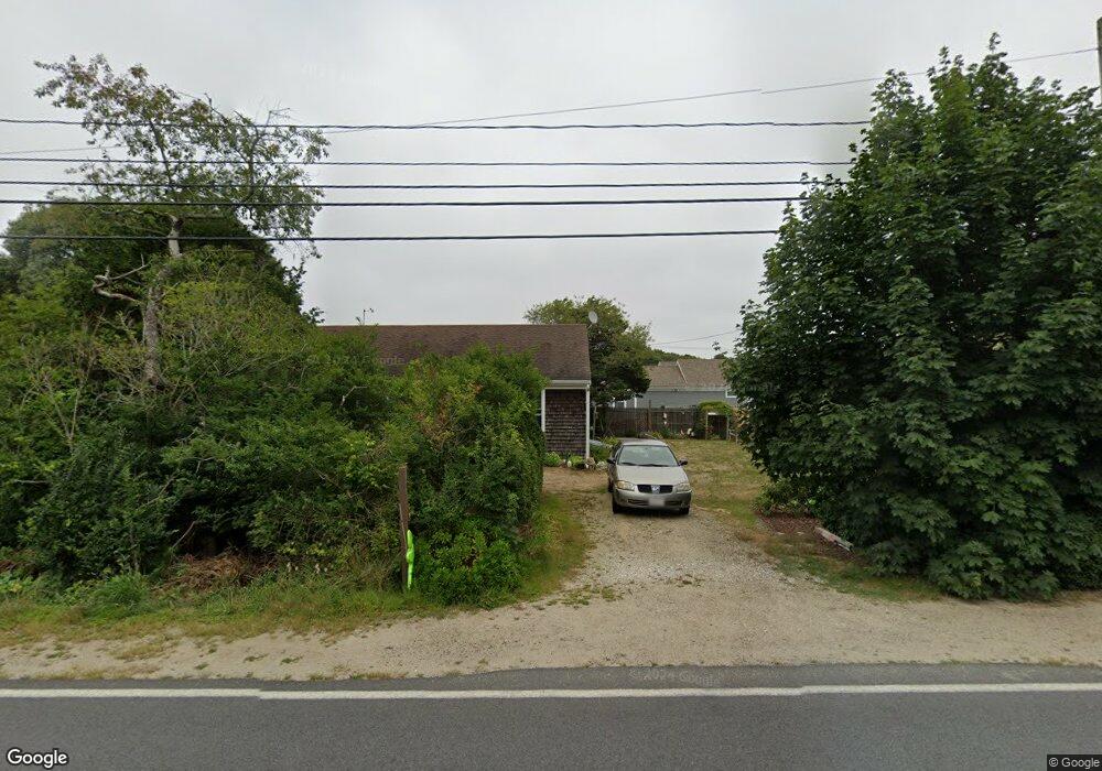
4205 State Hwy Eastham, MA 02642
Estimated Value: $6,248,492
--
Bed
--
Bath
1,896
Sq Ft
$3,296/Sq Ft
Est. Value
About This Home
This home is located at 4205 State Hwy, Eastham, MA 02642 and is currently estimated at $6,248,492, approximately $3,295 per square foot. 4205 State Hwy is a home located in Barnstable County with nearby schools including Eastham Elementary School, Nauset Regional Middle School, and Nauset Regional High School.
Ownership History
Date
Name
Owned For
Owner Type
Purchase Details
Closed on
Jun 18, 2012
Sold by
Seatoller Llc
Bought by
State Highway 4205 Llc
Current Estimated Value
Home Financials for this Owner
Home Financials are based on the most recent Mortgage that was taken out on this home.
Original Mortgage
$1,300,000
Outstanding Balance
$901,791
Interest Rate
3.85%
Mortgage Type
Commercial
Estimated Equity
$5,346,701
Purchase Details
Closed on
Apr 12, 2010
Sold by
Howland Vaughan A and Howland Joyce Lee
Bought by
Seatoller Llc
Home Financials for this Owner
Home Financials are based on the most recent Mortgage that was taken out on this home.
Original Mortgage
$1,732,500
Interest Rate
5.12%
Mortgage Type
Commercial
Purchase Details
Closed on
Sep 1, 2004
Sold by
Howland Joyce Lee
Bought by
Howland Ft and Howland
Purchase Details
Closed on
Jun 15, 1990
Sold by
First Exchange Corp
Bought by
Howland Vaughan A
Create a Home Valuation Report for This Property
The Home Valuation Report is an in-depth analysis detailing your home's value as well as a comparison with similar homes in the area
Home Values in the Area
Average Home Value in this Area
Purchase History
| Date | Buyer | Sale Price | Title Company |
|---|---|---|---|
| State Highway 4205 Llc | $2,600,000 | -- | |
| Seatoller Llc | $2,327,000 | -- | |
| Seatoller Llc | $2,327,000 | -- | |
| Howland Ft | -- | -- | |
| Howland Ft | -- | -- | |
| Howland Vaughan A | $825,000 | -- |
Source: Public Records
Mortgage History
| Date | Status | Borrower | Loan Amount |
|---|---|---|---|
| Open | State Highway 4205 Llc | $1,300,000 | |
| Closed | State Highway 4205 Llc | $1,040,000 | |
| Closed | State Highway 4205 Llc | $130,000 | |
| Closed | Howland Vaughan A | $1,300,000 | |
| Previous Owner | Seatoller Llc | $1,732,500 |
Source: Public Records
Tax History Compared to Growth
Tax History
| Year | Tax Paid | Tax Assessment Tax Assessment Total Assessment is a certain percentage of the fair market value that is determined by local assessors to be the total taxable value of land and additions on the property. | Land | Improvement |
|---|---|---|---|---|
| 2025 | $22,774 | $2,953,800 | $1,257,500 | $1,696,300 |
| 2024 | $20,234 | $2,886,500 | $1,220,700 | $1,665,800 |
| 2023 | $20,092 | $2,775,200 | $1,185,100 | $1,590,100 |
| 2022 | $21,465 | $2,501,700 | $1,057,700 | $1,444,000 |
| 2021 | $22,114 | $2,408,900 | $1,027,100 | $1,381,800 |
| 2020 | $21,663 | $2,484,300 | $1,048,200 | $1,436,100 |
| 2019 | $20,228 | $2,451,900 | $1,048,200 | $1,403,700 |
| 2018 | $19,722 | $2,361,900 | $1,017,600 | $1,344,300 |
| 2017 | $18,544 | $2,347,400 | $1,001,100 | $1,346,300 |
| 2016 | $17,387 | $2,337,000 | $994,400 | $1,342,600 |
| 2015 | $16,604 | $2,338,600 | $984,500 | $1,354,100 |
Source: Public Records
Map
Nearby Homes
- 255 Massasoit Rd
- 60 Briggs Field Rd
- 35 Old County Rd Unit 1
- 72 Dory Ln
- 10 Field Rd
- 390 Brackett Rd
- 10 Hoyer Ln Unit A
- 10 Kellies Path
- 45 Starlight Ln
- 30 Mayflower Rd
- 115 Sparrowhawk Ln
- 10 Alston Ct
- 85 Huckleberry Ln
- 100 Thoreau Dr
- 50 Silver Oak Rd
- 1895 Nauset Rd
- 160 Toland Dr
- 4 Wood Duck Ln
- 125 Bay Rd
- 10 Surrey Dr
- 4205 State Hwy Unit 1
- 4205 State Hwy Unit 2
- 4205 State Hwy Unit 3
- 120 Massasoit Rd
- 265 Massasoit Rd
- 70 Edgewood Rd
- 100 Massasoit Rd
- 100 Massasoit Rd Unit n/a
- 275 Massasoit Rd
- 4220 State Hwy
- 4180 State Hwy
- 280 Massasoit Rd
- 2 Raymond Way
- 80 Massasoit Rd
- 4 Raymond Way
- 80 Edgewood Rd
- 285 Massasoit Rd
- 6 Raymond Way
- 8 Raymond Way
- 60 Massasoit Rd