4208 Navajo Dr Westminster, MD 21157
Estimated Value: $614,341 - $707,000
--
Bed
1
Bath
2,694
Sq Ft
$248/Sq Ft
Est. Value
About This Home
This home is located at 4208 Navajo Dr, Westminster, MD 21157 and is currently estimated at $668,835, approximately $248 per square foot. 4208 Navajo Dr is a home located in Carroll County with nearby schools including Winfield Elementary School, Mount Airy Middle School, and South Carroll High School.
Ownership History
Date
Name
Owned For
Owner Type
Purchase Details
Closed on
Aug 8, 2024
Sold by
Baker Earl R and Baker Brenda D
Bought by
Baker Earl R and Baker Brenda D
Current Estimated Value
Purchase Details
Closed on
Jul 20, 1994
Sold by
Anderson Alfred H
Bought by
Baker Earl R
Home Financials for this Owner
Home Financials are based on the most recent Mortgage that was taken out on this home.
Original Mortgage
$115,000
Interest Rate
8.19%
Purchase Details
Closed on
Oct 4, 1988
Sold by
Kaufman Joel
Bought by
Anderson Alfred H
Create a Home Valuation Report for This Property
The Home Valuation Report is an in-depth analysis detailing your home's value as well as a comparison with similar homes in the area
Home Values in the Area
Average Home Value in this Area
Purchase History
| Date | Buyer | Sale Price | Title Company |
|---|---|---|---|
| Baker Earl R | -- | None Listed On Document | |
| Baker Earl R | -- | None Listed On Document | |
| Baker Earl R | $243,000 | -- | |
| Anderson Alfred H | $193,000 | -- |
Source: Public Records
Mortgage History
| Date | Status | Borrower | Loan Amount |
|---|---|---|---|
| Previous Owner | Baker Earl R | $115,000 |
Source: Public Records
Tax History Compared to Growth
Tax History
| Year | Tax Paid | Tax Assessment Tax Assessment Total Assessment is a certain percentage of the fair market value that is determined by local assessors to be the total taxable value of land and additions on the property. | Land | Improvement |
|---|---|---|---|---|
| 2025 | $5,385 | $510,700 | $0 | $0 |
| 2024 | $5,385 | $475,500 | $186,800 | $288,700 |
| 2023 | $5,178 | $457,033 | $0 | $0 |
| 2022 | $4,971 | $438,567 | $0 | $0 |
| 2021 | $9,734 | $420,100 | $156,800 | $263,300 |
| 2020 | $4,688 | $413,300 | $0 | $0 |
| 2019 | $4,653 | $406,500 | $0 | $0 |
| 2018 | $4,536 | $399,700 | $156,800 | $242,900 |
| 2017 | $4,417 | $389,100 | $0 | $0 |
| 2016 | -- | $378,500 | $0 | $0 |
| 2015 | -- | $367,900 | $0 | $0 |
| 2014 | -- | $367,900 | $0 | $0 |
Source: Public Records
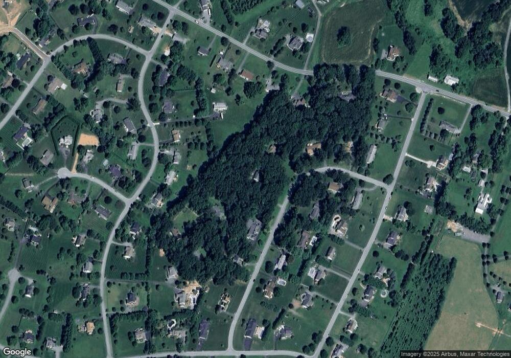
Map
Nearby Homes
- 2262 Cherokee Dr
- 2210 Skylark Dr
- 2613 Liberty Rd
- 4328 Ridge Rd Unit 13
- Lot 15 Westview Dr
- 4539 Salem Bottom Rd
- 5134 Perry Rd
- 3319 Mail Rd
- 3174 Cardinal Dr
- 4950 Fleming Rd
- 5164 Perry Rd
- 2990 Honeywood Dr
- 2208 Bluebird Dr
- 1110 Algernon Dr
- 4950 Crocus Rd
- 4828 Ridge Rd
- 2900 Marston Rd
- 970 Oak Tree Rd
- 2815 Gillis Rd
- 3526 Ellen Dr
- 4206 Navajo Dr
- 4212 Navajo Dr
- 2200 Sioux Dr
- 4207 Navajo Dr
- 4015 Iroquois Dr
- 4204 Navajo Dr
- 4211 Navajo Dr
- 4013 Iroquois Dr
- 4011 Iroquois Dr
- 4203 Navajo Dr
- 4007 Iroquois Dr
- 4214 Navajo Dr
- 4213 Navajo Dr
- 2203 Sioux Dr
- 4017 Iroquois Dr
- 2185 Sams Creek Rd
- 2191 Sams Creek Rd
- 2193 Sams Creek Rd
- 4202 Navajo Dr
- 4005 Iroquois Dr