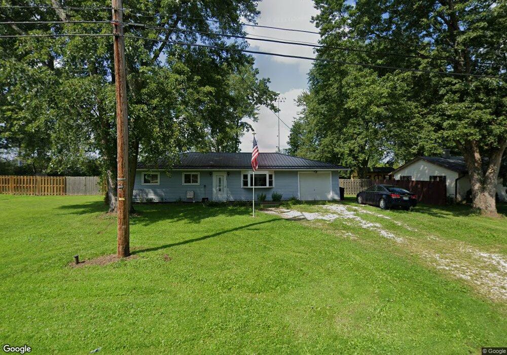
4209 Sabin Dr Rootstown, OH 44272
Estimated Value: $164,000 - $195,000
3
Beds
1
Bath
1,040
Sq Ft
$171/Sq Ft
Est. Value
About This Home
This home is located at 4209 Sabin Dr, Rootstown, OH 44272 and is currently estimated at $177,665, approximately $170 per square foot. 4209 Sabin Dr is a home located in Portage County with nearby schools including Rootstown Middle School - Schnee Building and Rootstown High School.
Ownership History
Date
Name
Owned For
Owner Type
Purchase Details
Closed on
Dec 16, 2009
Sold by
Yinkey Tracey D Eary and Yinkey Daniel J
Bought by
Eary James E and Revels Terri D Eary
Current Estimated Value
Purchase Details
Closed on
Jun 21, 2002
Sold by
Eary James E
Bought by
Eary James E and Revels Terri D Eary
Purchase Details
Closed on
Mar 29, 1996
Sold by
Porter Cynthia A
Bought by
Eary James E and Eary Sharon D
Home Financials for this Owner
Home Financials are based on the most recent Mortgage that was taken out on this home.
Original Mortgage
$81,500
Interest Rate
6.98%
Mortgage Type
New Conventional
Create a Home Valuation Report for This Property
The Home Valuation Report is an in-depth analysis detailing your home's value as well as a comparison with similar homes in the area
Purchase History
| Date | Buyer | Sale Price | Title Company |
|---|---|---|---|
| Eary James E | -- | None Available | |
| Eary James E | -- | -- | |
| Eary James E | $86,500 | -- |
Source: Public Records
Mortgage History
| Date | Status | Borrower | Loan Amount |
|---|---|---|---|
| Previous Owner | Eary James E | $81,500 |
Source: Public Records
Tax History
| Year | Tax Paid | Tax Assessment Tax Assessment Total Assessment is a certain percentage of the fair market value that is determined by local assessors to be the total taxable value of land and additions on the property. | Land | Improvement |
|---|---|---|---|---|
| 2025 | $1,617 | $47,990 | $10,260 | $37,730 |
| 2024 | $1,569 | $47,990 | $10,260 | $37,730 |
| 2023 | $1,292 | $37,000 | $10,260 | $26,740 |
| 2022 | $1,285 | $37,000 | $10,260 | $26,740 |
| 2021 | $1,273 | $37,000 | $10,260 | $26,740 |
| 2020 | $1,152 | $33,330 | $10,260 | $23,070 |
| 2019 | $1,156 | $33,330 | $10,260 | $23,070 |
| 2018 | $1,151 | $28,390 | $10,260 | $18,130 |
| 2017 | $980 | $28,390 | $10,260 | $18,130 |
| 2016 | $950 | $28,390 | $10,260 | $18,130 |
| 2015 | $961 | $28,390 | $10,260 | $18,130 |
| 2014 | $979 | $28,390 | $10,260 | $18,130 |
| 2013 | $972 | $28,390 | $10,260 | $18,130 |
Source: Public Records
Map
Nearby Homes
- 4079 Siefer Dr
- 0 Lynn Rd Unit 5110102
- V/L 2 Lynn Rd
- V/L Lynn Rd
- 3689 Cherry Hill
- 4415 Farmette Dr
- 3701 State Route 44
- sub lot Lane Ave
- 4200 Hattrick Rd
- 4556 Rootstown Rd
- 0 Tallmadge Rd Unit 5189301
- 0 Tallmadge Rd Unit 5189314
- 4140 Sandy Lake Rd
- 4058 Bayberry Knoll Ln
- 5394 Juniper Ct
- 3925 Summit Rd
- 3637 Old Forge Rd
- 3021 Hartville Rd
- 1065 Shadowlawn Dr
- 2978 Sandy Lake Rd
Your Personal Tour Guide
Ask me questions while you tour the home.