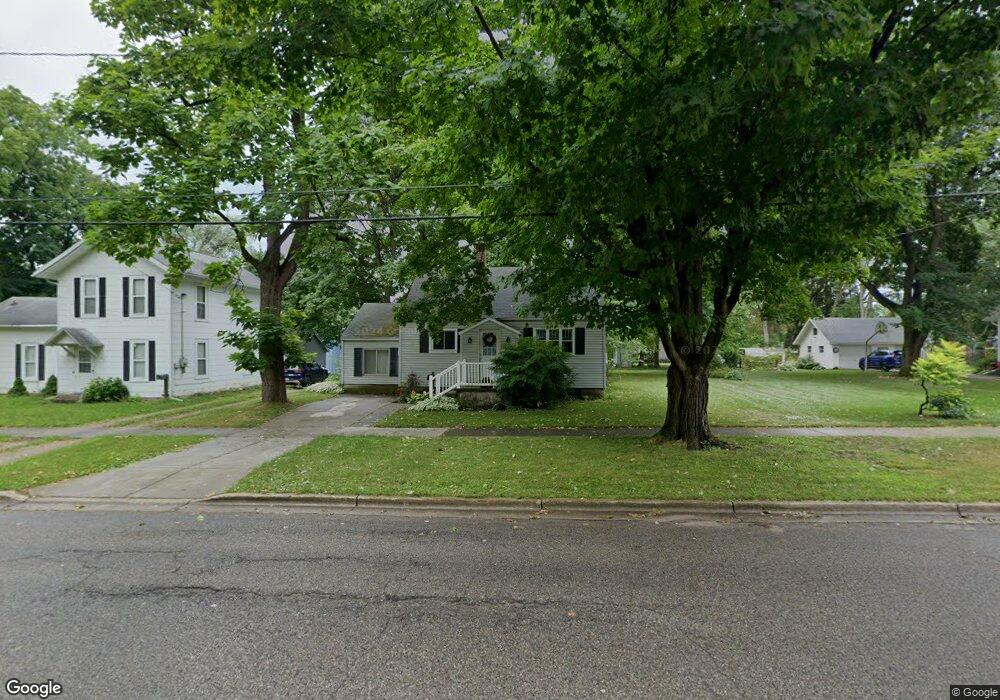
421 Division St Big Rapids, MI 49307
Estimated Value: $126,425 - $190,000
3
Beds
1
Bath
1,100
Sq Ft
$148/Sq Ft
Est. Value
About This Home
This home is located at 421 Division St, Big Rapids, MI 49307 and is currently estimated at $163,106, approximately $148 per square foot. 421 Division St is a home located in Mecosta County with nearby schools including Big Rapids High School, Crossroads Charter Academy Elementary School, and Crossroads Charter Academy Middle/High School.
Ownership History
Date
Name
Owned For
Owner Type
Purchase Details
Closed on
Mar 14, 2018
Sold by
Shaw William B and Shaw Ella M
Bought by
Shaw Ella M and Shaw William B
Current Estimated Value
Purchase Details
Closed on
Feb 16, 2017
Sold by
Shaw William Blair and Shaw Ella Mae
Bought by
Hunt Troy A and Hunt Charlene K
Purchase Details
Closed on
Apr 8, 2011
Sold by
Vanhorn Daniel L and Vanhorn Carol A
Bought by
Shaw William Blair and Shaw Ella Mae
Purchase Details
Closed on
Mar 1, 2009
Sold by
Shaw William Blair and Shaw Ella Mae
Bought by
Vanhorn Daniel L and Vanhorn Carol A
Home Financials for this Owner
Home Financials are based on the most recent Mortgage that was taken out on this home.
Original Mortgage
$65,000
Interest Rate
7.75%
Mortgage Type
Seller Take Back
Create a Home Valuation Report for This Property
The Home Valuation Report is an in-depth analysis detailing your home's value as well as a comparison with similar homes in the area
Home Values in the Area
Average Home Value in this Area
Purchase History
| Date | Buyer | Sale Price | Title Company |
|---|---|---|---|
| Shaw Ella M | -- | None Available | |
| Hunt Troy A | -- | Attorney | |
| Shaw William Blair | -- | None Available | |
| Vanhorn Daniel L | $70,000 | None Available |
Source: Public Records
Mortgage History
| Date | Status | Borrower | Loan Amount |
|---|---|---|---|
| Previous Owner | Vanhorn Daniel L | $65,000 |
Source: Public Records
Tax History
| Year | Tax Paid | Tax Assessment Tax Assessment Total Assessment is a certain percentage of the fair market value that is determined by local assessors to be the total taxable value of land and additions on the property. | Land | Improvement |
|---|---|---|---|---|
| 2025 | $2,074 | $55,300 | $0 | $0 |
| 2024 | -- | $50,400 | $0 | $0 |
| 2023 | -- | $44,000 | $0 | $0 |
| 2022 | $1,988 | $38,300 | $0 | $0 |
Source: Public Records
Map
Nearby Homes
- 417 Division St
- 211 Woodward Ave
- 418 Division St
- 307 Woodward Ave
- 414 Division St
- 516 Division St
- 303 Woodward Ave
- 14882 15 Mile Rd
- 17540 Catherine St
- 422 Clark St
- 418 Clark St
- 412 Clark St
- 217 Woodward Ave
- 516 Division
- 205 Woodward Ave
- 511 Division St
- 510 Clark St
- 504 Clark St
- 502 Clark St
- 421 Green St
Your Personal Tour Guide
Ask me questions while you tour the home.