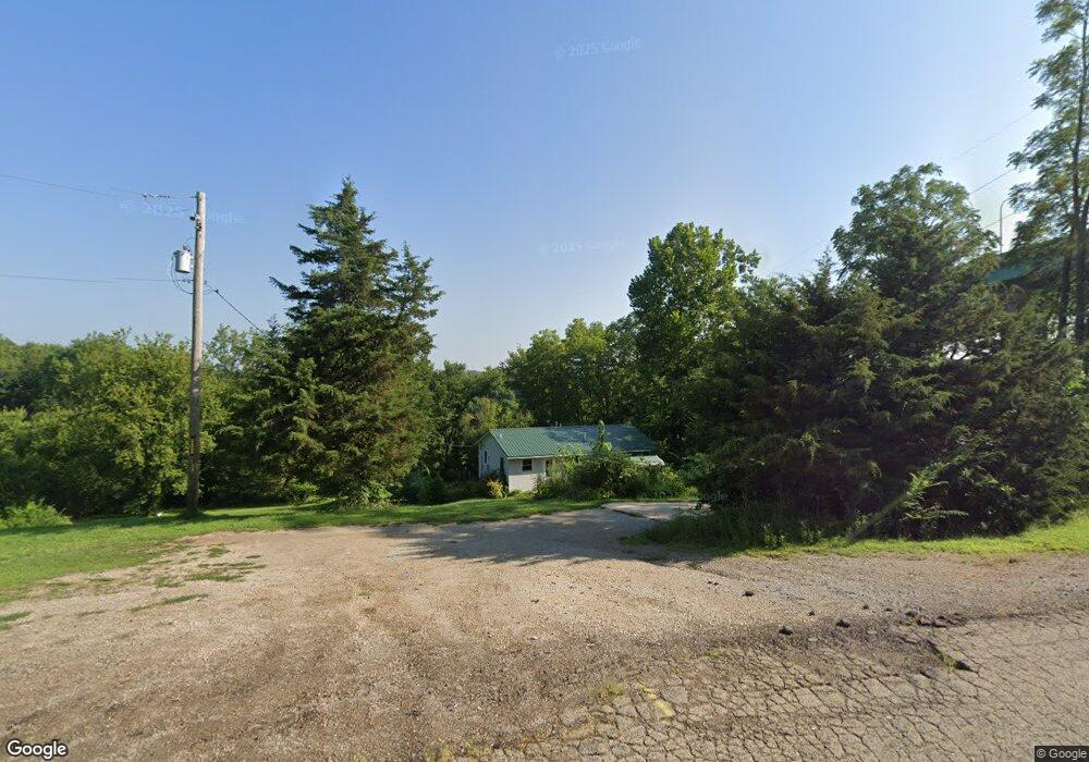
421 E State Route 351 Oglesby, IL 61348
Estimated Value: $83,056 - $135,000
3
Beds
1
Bath
1,000
Sq Ft
$102/Sq Ft
Est. Value
About This Home
This home is located at 421 E State Route 351, Oglesby, IL 61348 and is currently estimated at $102,019, approximately $102 per square foot. 421 E State Route 351 is a home located in LaSalle County with nearby schools including Lincoln Elementary School, Washington Elementary School, and Trinity Catholic Academy.
Ownership History
Date
Name
Owned For
Owner Type
Purchase Details
Closed on
Jan 20, 2012
Sold by
Fannie Mae
Bought by
Martin Joseph and Martin Natalie
Current Estimated Value
Home Financials for this Owner
Home Financials are based on the most recent Mortgage that was taken out on this home.
Original Mortgage
$41,280
Outstanding Balance
$28,233
Interest Rate
3.93%
Mortgage Type
FHA
Estimated Equity
$73,786
Purchase Details
Closed on
Oct 20, 2011
Sold by
Lueken Tom F
Bought by
Federal National Mortgage Association
Purchase Details
Closed on
Jul 8, 2005
Sold by
Roman Geraldine R and Lutz Geraldine R
Bought by
Lueken Tom F
Create a Home Valuation Report for This Property
The Home Valuation Report is an in-depth analysis detailing your home's value as well as a comparison with similar homes in the area
Home Values in the Area
Average Home Value in this Area
Purchase History
| Date | Buyer | Sale Price | Title Company |
|---|---|---|---|
| Martin Joseph | $51,600 | None Available | |
| Federal National Mortgage Association | -- | None Available | |
| Lueken Tom F | $96,000 | None Available |
Source: Public Records
Mortgage History
| Date | Status | Borrower | Loan Amount |
|---|---|---|---|
| Open | Martin Joseph | $41,280 |
Source: Public Records
Tax History Compared to Growth
Tax History
| Year | Tax Paid | Tax Assessment Tax Assessment Total Assessment is a certain percentage of the fair market value that is determined by local assessors to be the total taxable value of land and additions on the property. | Land | Improvement |
|---|---|---|---|---|
| 2024 | $172 | $0 | $0 | $0 |
| 2023 | $172 | $2,225 | $2,225 | $0 |
| 2022 | $157 | $2,035 | $2,035 | $0 |
| 2021 | $154 | $1,921 | $1,921 | $0 |
| 2020 | $145 | $1,851 | $1,851 | $0 |
| 2019 | $189 | $2,295 | $1,832 | $463 |
| 2018 | $184 | $2,252 | $1,798 | $454 |
| 2017 | $184 | $2,254 | $1,800 | $454 |
| 2016 | $185 | $2,218 | $1,771 | $447 |
| 2015 | $84 | $2,140 | $1,709 | $431 |
| 2012 | -- | $2,374 | $1,895 | $479 |
Source: Public Records
Map
Nearby Homes
- 621 Hickory Ave
- 910 Durant St
- Lot #6 Thirty Foot Trail Rd
- 221 Oakwood Ave
- 225 Oakwood Ave
- 93 Sunset Blvd
- 71 Katelyn Ct
- 423 Sunset Blvd
- Lot 7 Sunset Blvd
- Lot 10 Sunset Blvd
- Lot 56 Sunset Blvd
- 94 Sunset Blvd
- 231 Sunset Blvd
- 0006 Sunset Blvd
- 0005 Sunset Blvd
- 590 W Walnut St
- 100 N Lewis Ave
- 732 1st St
- 600 W Walnut St
- 1040 3rd St
- 421 Il-351
- 2603 E 450th Rd
- 2599 E 450th Rd
- 2601 E 450th Rd
- 2597 E 450th Rd
- 2595 E 450th Rd
- 2602 E 450th Rd
- 2607 E 450th Rd
- 2606 E 450th Rd
- 429 N 2579th Rd
- 2598 E 450th Rd
- 2593 E 450th Rd
- 2589 E 450th Rd
- 2611 E 450th Rd
- 2608 E 450th Rd
- 2594 E 450th Rd
- 2600 E 450th Rd
- 431 N 2579th Rd
- 2591 E 450th Rd
- 2614 E 450th Rd