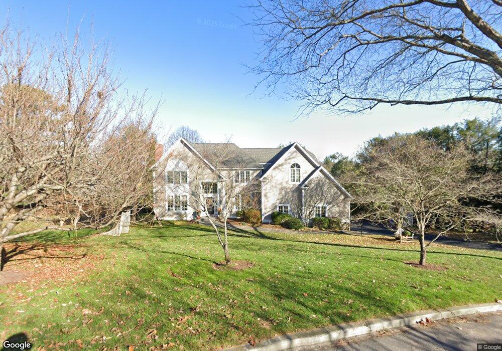
421 Fulling Mill Ln N Fairfield, CT 06824
Estimated Value: $1,784,011 - $2,022,000
4
Beds
5
Baths
3,404
Sq Ft
$560/Sq Ft
Est. Value
About This Home
This home is located at 421 Fulling Mill Ln N, Fairfield, CT 06824 and is currently estimated at $1,905,503, approximately $559 per square foot. 421 Fulling Mill Ln N is a home located in Fairfield County with nearby schools including Mill Hill School, Roger Ludlowe Middle School, and Fairfield Ludlowe High School.
Ownership History
Date
Name
Owned For
Owner Type
Purchase Details
Closed on
Jun 18, 2010
Sold by
Kingsly Kenneth and Pesce-Kingsley Katherine
Bought by
Sommers Michael and Sommers Jody
Current Estimated Value
Purchase Details
Closed on
Jan 25, 2002
Sold by
Swanson Steven S and Swanson Nancy L
Bought by
Kingsly Kenneth and Kingsly Pesce-Kingsly K
Create a Home Valuation Report for This Property
The Home Valuation Report is an in-depth analysis detailing your home's value as well as a comparison with similar homes in the area
Purchase History
| Date | Buyer | Sale Price | Title Company |
|---|---|---|---|
| Sommers Michael | $1,200,000 | -- | |
| Sommers Michael | $1,200,000 | -- | |
| Kingsly Kenneth | $867,500 | -- | |
| Kingsly Kenneth | $867,500 | -- |
Source: Public Records
Mortgage History
| Date | Status | Borrower | Loan Amount |
|---|---|---|---|
| Open | Kingsly Kenneth | $842,000 | |
| Closed | Kingsly Kenneth | $885,000 |
Source: Public Records
Tax History
| Year | Tax Paid | Tax Assessment Tax Assessment Total Assessment is a certain percentage of the fair market value that is determined by local assessors to be the total taxable value of land and additions on the property. | Land | Improvement |
|---|---|---|---|---|
| 2025 | $21,872 | $770,420 | $357,770 | $412,650 |
| 2024 | $21,495 | $770,420 | $357,770 | $412,650 |
| 2023 | $21,194 | $770,420 | $357,770 | $412,650 |
| 2022 | $20,986 | $770,420 | $357,770 | $412,650 |
| 2021 | $20,786 | $770,420 | $357,770 | $412,650 |
| 2020 | $21,930 | $818,580 | $353,710 | $464,870 |
| 2019 | $21,930 | $818,580 | $353,710 | $464,870 |
| 2018 | $21,526 | $816,620 | $353,710 | $462,910 |
| 2017 | $21,085 | $816,620 | $353,710 | $462,910 |
| 2016 | $20,783 | $816,620 | $353,710 | $462,910 |
| 2015 | $22,524 | $908,600 | $380,450 | $528,150 |
| 2014 | $22,170 | $908,600 | $380,450 | $528,150 |
Source: Public Records
Map
Nearby Homes
- 647 Bronson Rd
- 844 Mill Hill Terrace
- 53 Hilltop Dr
- 105 Charter Oak Rd
- 360 Duck Farm Rd
- 153 Pease Ave
- 88 Overhill Rd
- 245 Unquowa Rd Unit 2
- 245 Unquowa Rd Unit 6
- 688 Hulls Farm Rd
- 20 Ermine St
- 2683 Bronson Rd
- 65 Thorpe St Unit 65
- 218 Lower Farm Rd
- 209 S Pine Creek Rd
- 2 Elmwood Dr Unit 2
- 1478 Jennings Rd
- 1207 Stillson Rd
- 327 Meadowbrook Rd
- 75 Spinning Wheel Rd
- 395 Fulling Mill Ln S
- 465 Fulling Mill Ln
- 380 Fulling Mill Ln S
- 470 Fulling Mill Ln N
- 1285 Bronson Rd
- 1263 Bronson Rd
- 365 Fulling Mill Ln
- 300 Fulling Mill Ln S
- 916 Sturges Hwy
- 359 Fulling Mill Ln S
- 1233 Bronson Rd
- 1327 Bronson Rd
- 1327 Bronson Rd Unit 1
- 1215 Bronson Rd
- 301 Fulling Mill Ln S
- 1329 Bronson Rd
- 240 Fulling Mill Ln
- 1218 Bronson Rd
- 57 Warner Hill Rd
- 20 Cider Mill Ln