421 Plover Ln Myrtle Beach, SC 29588
Burgess NeighborhoodEstimated Value: $266,000 - $288,000
3
Beds
2
Baths
1,686
Sq Ft
$164/Sq Ft
Est. Value
About This Home
This home is located at 421 Plover Ln, Myrtle Beach, SC 29588 and is currently estimated at $276,324, approximately $163 per square foot. 421 Plover Ln is a home located in Horry County with nearby schools including Burgess Elementary School, St. James Intermediate, and St. James High School.
Ownership History
Date
Name
Owned For
Owner Type
Purchase Details
Closed on
Nov 26, 2001
Sold by
Bruder Enterprises Llc
Bought by
Austin Robert Michael
Current Estimated Value
Home Financials for this Owner
Home Financials are based on the most recent Mortgage that was taken out on this home.
Original Mortgage
$116,150
Outstanding Balance
$43,002
Interest Rate
6.6%
Mortgage Type
VA
Estimated Equity
$233,322
Purchase Details
Closed on
Mar 5, 2001
Sold by
Community Development At Tern Hall Inc
Bought by
Bruder Enterprises Llc
Create a Home Valuation Report for This Property
The Home Valuation Report is an in-depth analysis detailing your home's value as well as a comparison with similar homes in the area
Home Values in the Area
Average Home Value in this Area
Purchase History
| Date | Buyer | Sale Price | Title Company |
|---|---|---|---|
| Austin Robert Michael | $113,900 | -- | |
| Bruder Enterprises Llc | $19,900 | -- |
Source: Public Records
Mortgage History
| Date | Status | Borrower | Loan Amount |
|---|---|---|---|
| Open | Austin Robert Michael | $116,150 |
Source: Public Records
Tax History
| Year | Tax Paid | Tax Assessment Tax Assessment Total Assessment is a certain percentage of the fair market value that is determined by local assessors to be the total taxable value of land and additions on the property. | Land | Improvement |
|---|---|---|---|---|
| 2025 | $661 | $0 | $0 | $0 |
| 2024 | $661 | $14,777 | $5,182 | $9,595 |
| 2023 | $661 | $5,407 | $1,077 | $4,330 |
| 2021 | $601 | $9,879 | $1,953 | $7,926 |
| 2020 | $515 | $9,879 | $1,953 | $7,926 |
| 2019 | $515 | $9,879 | $1,953 | $7,926 |
| 2018 | $466 | $7,052 | $1,400 | $5,652 |
| 2017 | $451 | $7,052 | $1,400 | $5,652 |
| 2016 | -- | $7,052 | $1,400 | $5,652 |
| 2015 | $459 | $7,053 | $1,401 | $5,652 |
| 2014 | $425 | $7,053 | $1,401 | $5,652 |
Source: Public Records
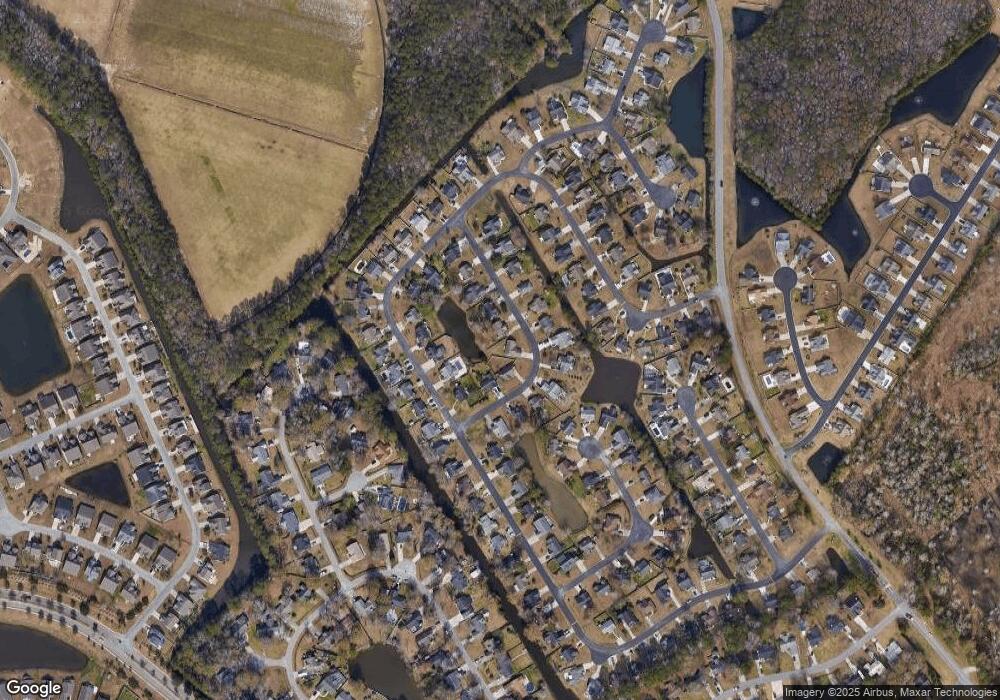
Map
Nearby Homes
- 199 Empyrean Cir
- 179 Empyrean Cir
- 165 Osprey Cove Loop
- 544 Fanciful Way
- 322 Kildare Ct
- 315 Kildare Ct
- 617 Towhee Ct
- 425 Tiburon Dr
- 273 Copper Leaf Dr
- 8268 Tartan Ln
- 1606 Palmina Loop Unit A
- 1201 Eagle Creek Dr
- 1725 Boyne Dr
- 1724 Boyne Dr
- 845 Bonita Loop
- 1534 Palmina Loop Unit D
- 138 Copper Leaf Dr
- 193 Terra Vista Dr
- 160 Lazy Willow Ln Unit 202
- 160 Lazy Willow Ln Unit 103
- 427 Plover Ln
- 409 Plover Ln
- 403 Plover Ln
- 403 Plover Ln
- 431 Plover Ln
- 152 Osprey Cove Loop
- 154 Osprey Cove Loop
- 424 Plover Ln
- 150 Osprey Cove Loop
- 435 Plover Ln
- 428 Plover Ln
- 420 Plover Ln Unit Osprey Cove
- 420 Plover Ln
- 408 Plover Ln
- 432 Plover Ln
- 404 Plover Ln
- 412 Plover Ln
- 416 Plover Ln
- 400 Plover Ln
- 439 Plover Ln
Your Personal Tour Guide
Ask me questions while you tour the home.