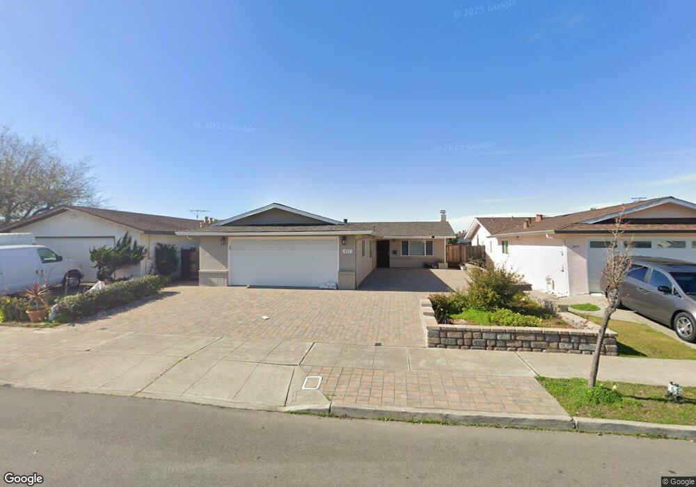
421 Sunset Rd Alameda, CA 94501
South Shore NeighborhoodEstimated Value: $1,028,552 - $1,201,000
3
Beds
2
Baths
1,243
Sq Ft
$899/Sq Ft
Est. Value
About This Home
This home is located at 421 Sunset Rd, Alameda, CA 94501 and is currently estimated at $1,117,388, approximately $898 per square foot. 421 Sunset Rd is a home located in Alameda County with nearby schools including William G. Paden Elementary School, Will C. Wood Middle School, and Encinal Junior/Senior High.
Ownership History
Date
Name
Owned For
Owner Type
Purchase Details
Closed on
Feb 26, 2016
Sold by
Clinton Dana and Ethel A Furman Living Trust
Bought by
Clinton Dana M and Carter Barbara Lou
Current Estimated Value
Purchase Details
Closed on
Feb 22, 2016
Sold by
Clinton Dana M
Bought by
Carter Jimmie Ray
Purchase Details
Closed on
Feb 17, 2016
Sold by
Carter Jimmie Ray
Bought by
Chu Family Trust
Create a Home Valuation Report for This Property
The Home Valuation Report is an in-depth analysis detailing your home's value as well as a comparison with similar homes in the area
Home Values in the Area
Average Home Value in this Area
Purchase History
| Date | Buyer | Sale Price | Title Company |
|---|---|---|---|
| Clinton Dana M | -- | Accommodation | |
| Carter Jimmie Ray | $300,000 | Accommodation | |
| Chu Family Trust | $768,000 | Chicago Title Company |
Source: Public Records
Tax History
| Year | Tax Paid | Tax Assessment Tax Assessment Total Assessment is a certain percentage of the fair market value that is determined by local assessors to be the total taxable value of land and additions on the property. | Land | Improvement |
|---|---|---|---|---|
| 2025 | $2,169 | $81,015 | $45,356 | $42,659 |
| 2024 | $2,169 | $79,290 | $44,467 | $41,823 |
| 2023 | $2,098 | $84,598 | $43,595 | $41,003 |
| 2022 | $2,049 | $75,939 | $42,740 | $40,199 |
| 2021 | $2,002 | $74,313 | $41,902 | $39,411 |
| 2020 | $1,973 | $80,480 | $41,473 | $39,007 |
| 2019 | $1,876 | $78,902 | $40,660 | $38,242 |
| 2018 | $1,833 | $77,356 | $39,863 | $37,493 |
| 2017 | $2,171 | $75,838 | $39,081 | $36,757 |
| 2016 | $5,783 | $380,910 | $152,364 | $228,546 |
| 2015 | $2,315 | $81,805 | $39,984 | $41,821 |
| 2014 | $2,254 | $80,202 | $39,201 | $41,001 |
Source: Public Records
Map
Nearby Homes
- 400 Harbor Light Rd
- 1246 Otis Dr
- 955 Shorepoint Ct Unit 110
- 955 Shorepoint Ct Unit 216
- 960 Shorepoint Ct Unit 215
- 2000 Clinton Ave
- 2031 Otis Dr Unit H
- 1822 San Antonio Ave
- 2106 Otis Dr Unit A
- 2101 Shoreline Dr Unit 153
- 2101 Shoreline Dr Unit 475
- 610 Grand St
- 1211 Paru St
- 1203 Benton St
- 1500 Alameda Ave Unit G
- 1220 9th St
- 1000 Central Ave
- 1401 Cottage St Unit D
- 1427 Bay St
- 1211 Santa Clara Ave
- 425 Sunset Rd
- 417 Sunset Rd
- 420 Coral Reef Rd
- 413 Sunset Rd
- 429 Sunset Rd
- 416 Coral Reef Rd
- 424 Coral Reef Rd
- 412 Coral Reef Rd
- 428 Coral Reef Rd
- 409 Sunset Rd
- 420 Sunset Rd
- 424 Sunset Rd
- 416 Sunset Rd
- 408 Coral Reef Rd
- 428 Sunset Rd
- 412 Sunset Rd
- 405 Sunset Rd
- 432 Sunset Rd
- 408 Sunset Rd
- 1221 Coral Reef Place
Your Personal Tour Guide
Ask me questions while you tour the home.