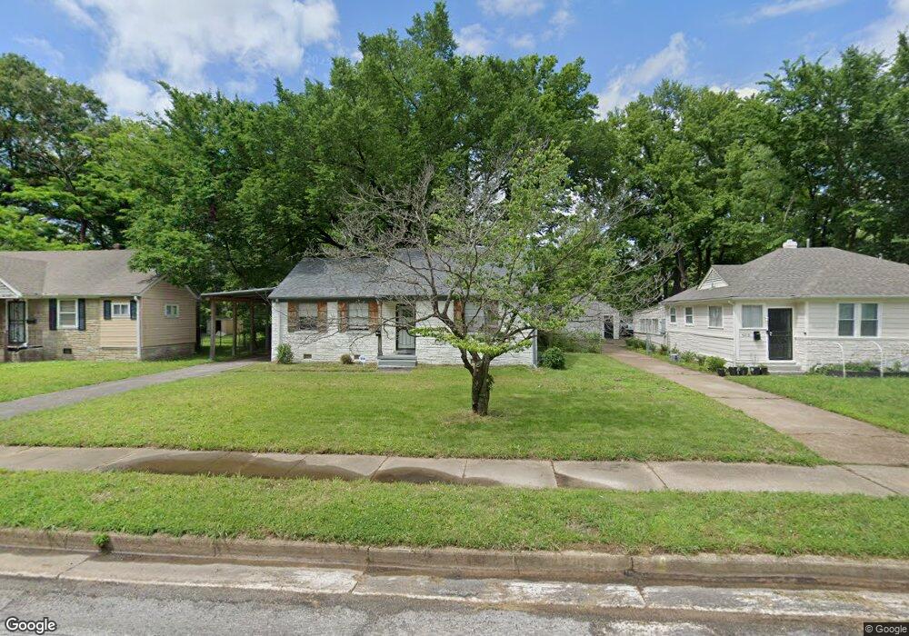
4210 Atwood Ave Memphis, TN 38111
Audubon Park NeighborhoodEstimated Value: $78,383 - $116,000
2
Beds
1
Bath
938
Sq Ft
$104/Sq Ft
Est. Value
About This Home
This home is located at 4210 Atwood Ave, Memphis, TN 38111 and is currently estimated at $97,596, approximately $104 per square foot. 4210 Atwood Ave is a home located in Shelby County with nearby schools including South Park Elementary School, Colonial Middle, and Overton High.
Ownership History
Date
Name
Owned For
Owner Type
Purchase Details
Closed on
Jul 6, 2021
Sold by
Watts William W and The William W Watts Jr Revocab
Bought by
Branched Oak Investments Llc
Current Estimated Value
Purchase Details
Closed on
Jul 14, 2008
Sold by
Watts William W and Watts Doris A
Bought by
Watts William W and Watts Doris Ann
Purchase Details
Closed on
Nov 12, 2003
Sold by
Suggs Catherine M
Bought by
Watts William W and Watts Doris A
Home Financials for this Owner
Home Financials are based on the most recent Mortgage that was taken out on this home.
Original Mortgage
$42,500
Interest Rate
6.05%
Mortgage Type
Purchase Money Mortgage
Purchase Details
Closed on
Oct 16, 2000
Sold by
Suggs Catherine M
Bought by
Watts William W and Watts Doris A
Home Financials for this Owner
Home Financials are based on the most recent Mortgage that was taken out on this home.
Original Mortgage
$42,500
Interest Rate
7.96%
Mortgage Type
Construction
Create a Home Valuation Report for This Property
The Home Valuation Report is an in-depth analysis detailing your home's value as well as a comparison with similar homes in the area
Home Values in the Area
Average Home Value in this Area
Purchase History
| Date | Buyer | Sale Price | Title Company |
|---|---|---|---|
| Branched Oak Investments Llc | $52,500 | Delta Title Services Llc | |
| Watts William W | -- | None Available | |
| Watts William W | $45,000 | -- | |
| Watts William W | $45,000 | -- |
Source: Public Records
Mortgage History
| Date | Status | Borrower | Loan Amount |
|---|---|---|---|
| Previous Owner | Watts William W | $42,500 | |
| Previous Owner | Watts William W | $42,500 |
Source: Public Records
Tax History Compared to Growth
Tax History
| Year | Tax Paid | Tax Assessment Tax Assessment Total Assessment is a certain percentage of the fair market value that is determined by local assessors to be the total taxable value of land and additions on the property. | Land | Improvement |
|---|---|---|---|---|
| 2025 | $442 | $27,125 | $5,000 | $22,125 |
| 2024 | $442 | $13,025 | $2,875 | $10,150 |
| 2023 | $793 | $13,025 | $2,875 | $10,150 |
| 2022 | $793 | $13,025 | $2,875 | $10,150 |
| 2021 | $803 | $13,025 | $2,875 | $10,150 |
| 2020 | $812 | $11,200 | $2,625 | $8,575 |
| 2019 | $358 | $11,200 | $2,625 | $8,575 |
| 2018 | $358 | $11,200 | $2,625 | $8,575 |
| 2017 | $366 | $11,200 | $2,625 | $8,575 |
| 2016 | $482 | $11,025 | $0 | $0 |
| 2014 | $482 | $11,025 | $0 | $0 |
Source: Public Records
Map
Nearby Homes
- 4161 Dunn Rd
- 4222 Vann Ave
- 4173 Philsdale Ave
- 4288 Kimball Ave
- 4145 Willowview Ave
- 1467 Wanda St
- 4202 New Willow Rd
- 1422 Titus Rd
- 1563 Flamingo Rd
- 1628 Cherry Rd
- 4416 Boyce Rd
- 4420 Helene Rd
- 1321 Merrycrest Dr
- 1293 Carolyn Dr
- 4227 Carolyn Dr
- 1265 Wedgewood St
- 4485 Dunn Ave
- 1305 Cherry Rd
- 4491 Garnett Rd
- 4487 E Dearing Rd
- 4218 Atwood Ave
- 4204 Atwood Ave
- 4224 Atwood Ave
- 4198 Atwood Ave
- 4211 Dunn Rd
- 4219 Dunn Rd
- 4205 Dunn Rd
- 4230 Atwood Ave
- 4225 Dunn Rd
- 4211 Atwood Ave
- 4199 Dunn Rd
- 1542 Michael St
- 4219 Atwood Ave
- 4205 Atwood Ave
- 4199 Atwood Ave
- 4188 Atwood Ave
- 1536 Michael St
- 4225 Atwood Ave
- 4231 Dunn Rd
- 4236 Atwood Ave