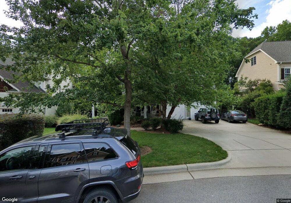
4210 Batiste Rd Raleigh, NC 27613
Northwest Raleigh NeighborhoodEstimated Value: $953,000 - $1,284,000
5
Beds
5
Baths
3,895
Sq Ft
$298/Sq Ft
Est. Value
About This Home
This home is located at 4210 Batiste Rd, Raleigh, NC 27613 and is currently estimated at $1,159,694, approximately $297 per square foot. 4210 Batiste Rd is a home located in Wake County with nearby schools including Leesville Road Middle School, Leesville Road High School, and Quest Academy.
Ownership History
Date
Name
Owned For
Owner Type
Purchase Details
Closed on
May 9, 2006
Sold by
Barrington Homes Inc
Bought by
Jewell Brent Alan and Jewell Diane Kay
Current Estimated Value
Home Financials for this Owner
Home Financials are based on the most recent Mortgage that was taken out on this home.
Original Mortgage
$220,000
Interest Rate
6%
Mortgage Type
Purchase Money Mortgage
Create a Home Valuation Report for This Property
The Home Valuation Report is an in-depth analysis detailing your home's value as well as a comparison with similar homes in the area
Home Values in the Area
Average Home Value in this Area
Purchase History
| Date | Buyer | Sale Price | Title Company |
|---|---|---|---|
| Jewell Brent Alan | $575,000 | None Available |
Source: Public Records
Mortgage History
| Date | Status | Borrower | Loan Amount |
|---|---|---|---|
| Closed | Jewell Brent Alan | $220,000 |
Source: Public Records
Tax History Compared to Growth
Tax History
| Year | Tax Paid | Tax Assessment Tax Assessment Total Assessment is a certain percentage of the fair market value that is determined by local assessors to be the total taxable value of land and additions on the property. | Land | Improvement |
|---|---|---|---|---|
| 2025 | $9,551 | $1,092,892 | $200,000 | $892,892 |
| 2024 | $9,512 | $1,092,892 | $200,000 | $892,892 |
| 2023 | $7,728 | $707,158 | $138,000 | $569,158 |
| 2022 | $7,180 | $707,158 | $138,000 | $569,158 |
| 2021 | $6,901 | $707,158 | $138,000 | $569,158 |
| 2020 | $6,775 | $707,158 | $138,000 | $569,158 |
| 2019 | $7,554 | $650,071 | $138,000 | $512,071 |
| 2018 | $7,123 | $650,071 | $138,000 | $512,071 |
| 2017 | $6,783 | $650,071 | $138,000 | $512,071 |
| 2016 | -- | $650,071 | $138,000 | $512,071 |
| 2015 | $6,623 | $637,623 | $128,000 | $509,623 |
| 2014 | $6,280 | $637,623 | $128,000 | $509,623 |
Source: Public Records
Map
Nearby Homes
- 8802 Fidelis Ln
- 12909 Baybriar Dr
- 9305 Field Maple Ct
- 9309 Field Maple Ct
- 12808 Edsel Dr
- 8701 Oneal Rd
- 3812 Covina Dr
- 5020 Celbridge Place
- 13217 Ashford Park Dr
- 8326 Ray Rd
- 2972 Tillinghast Trail
- 13204 Ashford Park Dr
- 10109 Goodview Ct
- 4817 Wood Valley Dr
- 8604 Wellsley Way
- 8605 Brookdale Dr
- 9305 Langwood Dr
- 9800 Treymore Dr
- 7942 Berry Crest Ave
- 9209 Shallcross Way
- 4214 Batiste Rd
- 4206 Batiste Rd
- 4218 Batiste Rd
- 8904 Sanctus Ln
- 9005 Admaston Dr
- 9001 Admaston Dr
- 8908 Sanctus Ln
- 4213 Batiste Rd
- 4222 Batiste Rd
- 4205 Batiste Rd
- 9009 Admaston Dr
- 4217 Batiste Rd
- 9000 Admaston Dr
- 8900 Sanctus Ln
- 9308 Carlswood Ct
- 9013 Admaston Dr
- 9004 Admaston Dr
- 8909 Breeland Way
- 8905 Sanctus Ln
- 8905 Breeland Way