4210 Bright Hope Mine Rd Placerville, CA 95667
Estimated Value: $250,000 - $359,558
1
Bed
1
Bath
989
Sq Ft
$303/Sq Ft
Est. Value
About This Home
This home is located at 4210 Bright Hope Mine Rd, Placerville, CA 95667 and is currently estimated at $300,140, approximately $303 per square foot. 4210 Bright Hope Mine Rd is a home located in El Dorado County with nearby schools including Georgetown Elementary School and Golden Sierra Junior Senior High.
Ownership History
Date
Name
Owned For
Owner Type
Purchase Details
Closed on
Dec 12, 2007
Sold by
Blandford Arena Tina M
Bought by
Blandford Arena Tina M
Current Estimated Value
Home Financials for this Owner
Home Financials are based on the most recent Mortgage that was taken out on this home.
Original Mortgage
$50,000
Interest Rate
6.26%
Mortgage Type
Stand Alone Refi Refinance Of Original Loan
Purchase Details
Closed on
May 4, 2000
Sold by
Arena Daniel G
Bought by
Arena Daniel G and Blandford Tina
Create a Home Valuation Report for This Property
The Home Valuation Report is an in-depth analysis detailing your home's value as well as a comparison with similar homes in the area
Home Values in the Area
Average Home Value in this Area
Purchase History
| Date | Buyer | Sale Price | Title Company |
|---|---|---|---|
| Blandford Arena Tina M | -- | Placer Title Company | |
| Arena Daniel G | -- | -- |
Source: Public Records
Mortgage History
| Date | Status | Borrower | Loan Amount |
|---|---|---|---|
| Closed | Blandford Arena Tina M | $50,000 |
Source: Public Records
Tax History Compared to Growth
Tax History
| Year | Tax Paid | Tax Assessment Tax Assessment Total Assessment is a certain percentage of the fair market value that is determined by local assessors to be the total taxable value of land and additions on the property. | Land | Improvement |
|---|---|---|---|---|
| 2025 | $2,397 | $221,506 | $62,867 | $158,639 |
| 2024 | $2,397 | $217,164 | $61,635 | $155,529 |
| 2023 | $2,350 | $212,907 | $60,427 | $152,480 |
| 2022 | $2,313 | $208,734 | $59,243 | $149,491 |
| 2021 | $2,257 | $204,642 | $58,082 | $146,560 |
| 2020 | $2,245 | $202,545 | $57,487 | $145,058 |
| 2019 | $2,205 | $198,574 | $56,360 | $142,214 |
| 2018 | $2,142 | $194,681 | $55,255 | $139,426 |
| 2017 | $2,101 | $190,865 | $54,172 | $136,693 |
| 2016 | $2,373 | $187,123 | $53,110 | $134,013 |
| 2015 | $2,285 | $184,314 | $52,313 | $132,001 |
| 2014 | $2,285 | $180,706 | $51,290 | $129,416 |
Source: Public Records
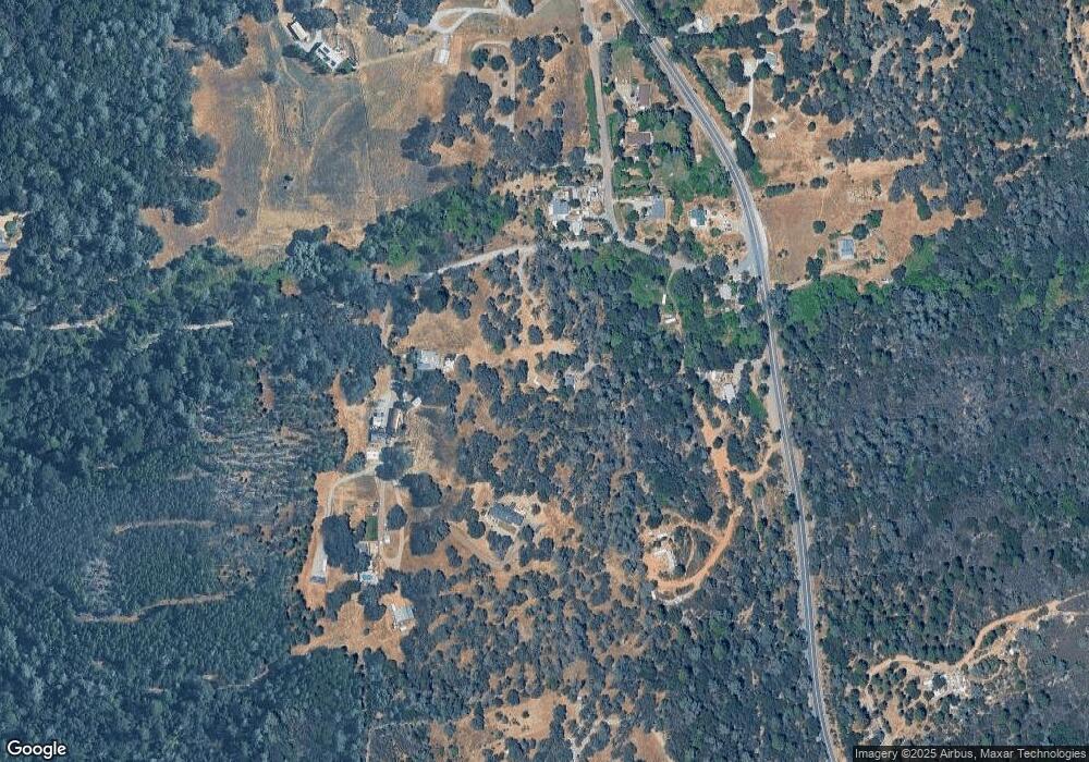
Map
Nearby Homes
- 9803 State Highway 193
- 6545 Kelsey Rd
- 9951 State Highway 193
- 6741 Big Sandy Ln
- 9970 State Highway 193
- 4017 Bright Hope Mine Rd
- 9461 State Highway 193 Unit 27
- 9461 State Highway 193 Unit 22
- 6646 Sourdough Trail
- 7145 Stewart Mine Rd
- 6194 Dark Canyon Rd
- 7155 Stewart Mine Rd
- 9220 Mule Skinner Rd
- 6080 Spanish Flat Rd
- 0 Light Canyon Rd Unit 225075234
- 5821 Spanish Flat Rd
- 4717 Lobo Trail
- 5860 Shoo Fly Rd
- 2195 Dias Dr
- 6317 Pikes Peak Cir
- 4180 Bright Hope Mine Rd
- 6561 Kelsey Rd
- 6566 Kelsey Rd
- 6593 Kelsey Rd
- 6581 Kelsey Rd
- 6550 Kelsey Rd
- 4178 Bright Hope Mine Rd
- 9785 State Highway 193
- 9785 State Highway 193
- 6534 Kelsey Rd
- 9820 State Highway 193
- 9800 California 193
- 6541 Kelsey Rd
- 9790 State Highway 193
- 9951 California 193
- 9920 State Highway 193
- 9762 State Highway 193
- 9762 State Highway 193
- 9748 State Highway 193
- 9748 State Highway 193