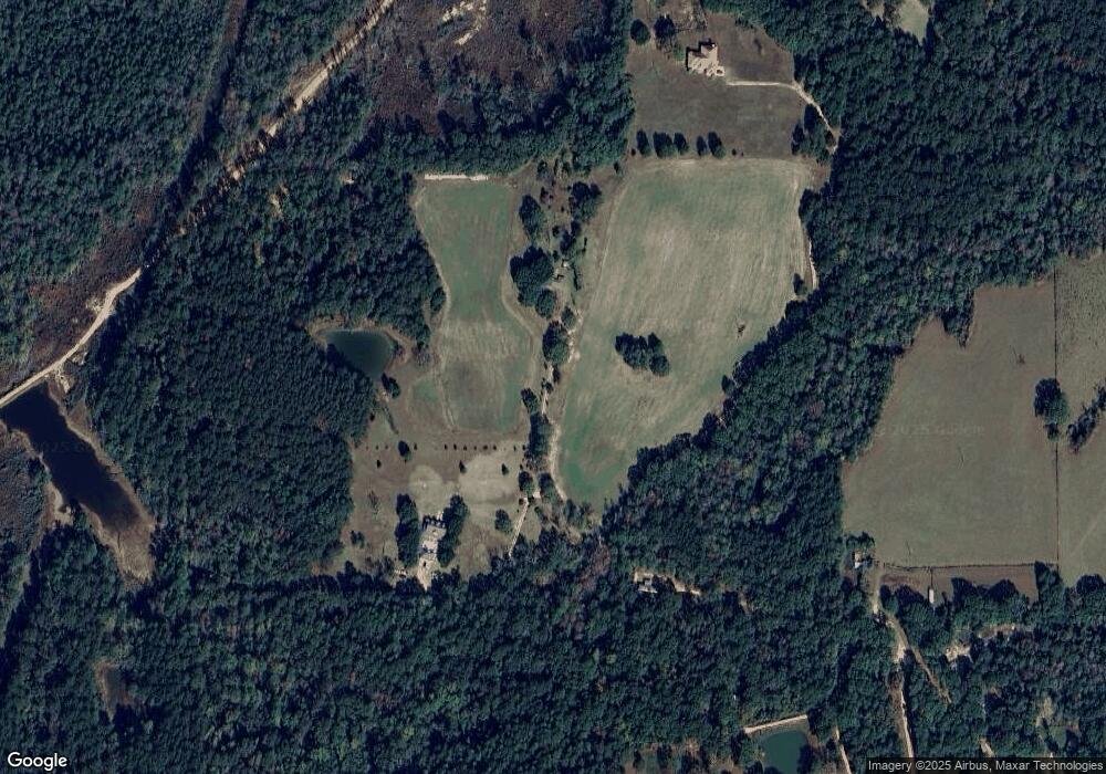
4210 Stewart Ln Perkinston, MS 39573
Estimated Value: $407,299 - $523,000
--
Bed
--
Bath
3,861
Sq Ft
$117/Sq Ft
Est. Value
About This Home
This home is located at 4210 Stewart Ln, Perkinston, MS 39573 and is currently estimated at $452,433, approximately $117 per square foot. 4210 Stewart Ln is a home located in Hancock County with nearby schools including Hancock North Central Elementary School, Hancock Middle School, and Hancock High School.
Ownership History
Date
Name
Owned For
Owner Type
Purchase Details
Closed on
Aug 23, 2022
Sold by
Douglas Stewart Sr Robert
Bought by
Stewart Robert Douglas
Current Estimated Value
Purchase Details
Closed on
Aug 22, 2022
Sold by
Stewart Wear Bethanie Sharan
Bought by
Stewart Robert Douglas
Purchase Details
Closed on
Aug 17, 2022
Sold by
Douglas Stewart Jr Robert
Bought by
Stewart Robert Douglas and Stewart Mary Emma
Purchase Details
Closed on
Nov 8, 2021
Sold by
Edward Stewart Kirk
Bought by
Stewart Robert Douglas and Stewart Mary Emma
Create a Home Valuation Report for This Property
The Home Valuation Report is an in-depth analysis detailing your home's value as well as a comparison with similar homes in the area
Home Values in the Area
Average Home Value in this Area
Purchase History
| Date | Buyer | Sale Price | Title Company |
|---|---|---|---|
| Stewart Robert Douglas | -- | -- | |
| Stewart Robert Douglas | -- | -- | |
| Stewart Robert Douglas | -- | -- | |
| Stewart Robert Douglas | -- | -- | |
| Stewart Robert Douglas | -- | -- |
Source: Public Records
Tax History Compared to Growth
Tax History
| Year | Tax Paid | Tax Assessment Tax Assessment Total Assessment is a certain percentage of the fair market value that is determined by local assessors to be the total taxable value of land and additions on the property. | Land | Improvement |
|---|---|---|---|---|
| 2024 | $3,026 | $31,769 | $2,415 | $29,354 |
| 2023 | $4,178 | $43,866 | $3,592 | $40,274 |
| 2022 | $1,970 | $28,181 | $2,645 | $25,536 |
| 2021 | $1,971 | $28,192 | $2,656 | $25,536 |
| 2020 | $2,024 | $27,985 | $2,667 | $25,318 |
| 2019 | $2,025 | $27,996 | $2,678 | $25,318 |
| 2018 | $2,158 | $29,348 | $2,689 | $26,659 |
| 2017 | $2,158 | $29,348 | $2,689 | $26,659 |
| 2016 | $2,102 | $29,322 | $2,663 | $26,659 |
| 2015 | $1,784 | $27,024 | $2,788 | $24,236 |
| 2014 | $1,829 | $27,946 | $2,764 | $25,182 |
| 2013 | $1,884 | $29,341 | $2,748 | $26,593 |
Source: Public Records
Map
Nearby Homes
- 4011 Stewart Ln
- 5121 Jordan Rd
- 5677 Highway 53
- 0 Caesar Necaise Rd
- 0 Mississippi 603 Unit LotWP001
- 100 Marty Ln
- 29113 Mississippi 603
- 549 Barth Rd
- 23156 Tally Shaw Rd
- 27585 V Bar Rd
- 0 Mississippi 53
- 7060 Sunfish Cove
- 1000 W Bull Creek Dr
- 7045 Sunfish Cove
- 0 Standard Dedeaux Rd Unit 4102418
- 0 Sunfish Cove Unit 4115604
- 26141 Highway 603
- 26004 Bowfin Dr
- 0 Bluegill Point
- Lot 85 Perch Place
- 4020 Stewart Ln
- 4030 Road 332
- 3530 Road 331
- 3175 Road 331
- 3200 Road 331
- 3110 Road 331
- 3600 Highway 53
- 3090 Road 331
- 3055 Road 331
- 30010 Road 333
- 3550 Highway 53
- 3064 Road 331
- 3440 Highway 53
- 3067 Road 331
- 3581 Highway 53
- 30293 Crane Creek Rd
- 30297 Crane Creek Rd
- 00 Crane Creek Rd
- 31023 Crane Creek Rd
- 3471 Highway 53
