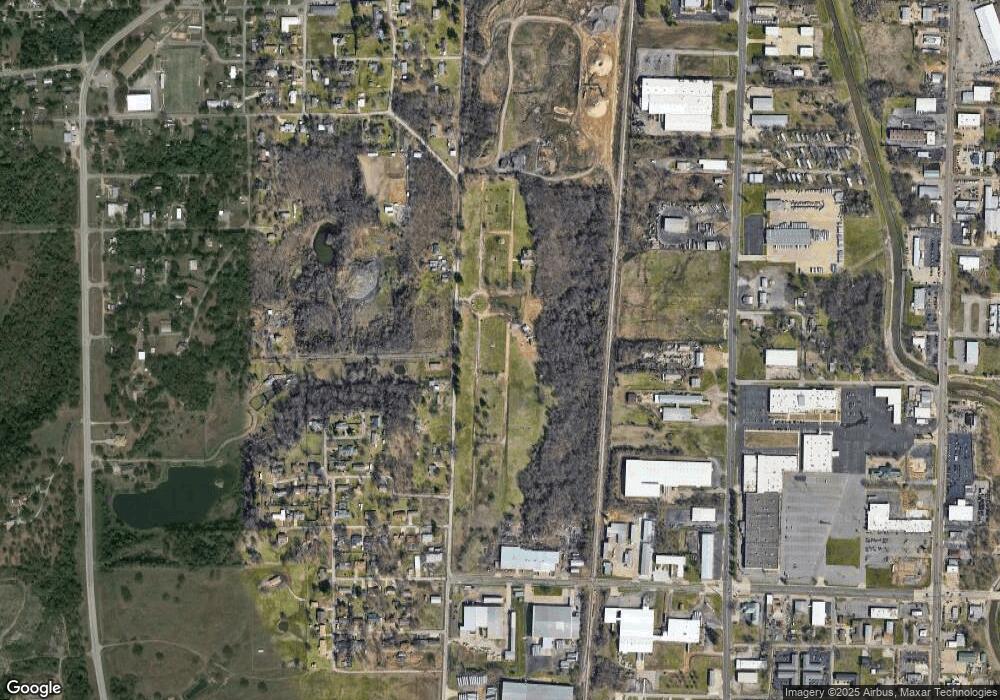
4211 State Line Rd Fort Smith, AR 72916
Mill Creek NeighborhoodEstimated Value: $118,000 - $118,735
--
Bed
1
Bath
--
Sq Ft
9.81
Acres
About This Home
This home is located at 4211 State Line Rd, Fort Smith, AR 72916 and is currently estimated at $118,368. 4211 State Line Rd is a home located in Sebastian County with nearby schools including Fairview Elementary School, Ramsey Junior High School, and Southside High School.
Ownership History
Date
Name
Owned For
Owner Type
Purchase Details
Closed on
Dec 30, 2024
Sold by
Anthem Properties Serenity Arkansas Llc
Bought by
National Memorial Group Ar Llc
Current Estimated Value
Purchase Details
Closed on
Feb 8, 2022
Sold by
Serenity Cemeteries Llc
Bought by
Anthem Properties Serenity Arkansas Llc
Purchase Details
Closed on
Sep 28, 1995
Bought by
Decatur Memorial Corp (2)
Purchase Details
Closed on
Oct 18, 1989
Bought by
Edwards-Fentress Funeral Home(
Purchase Details
Closed on
Feb 28, 1969
Bought by
First National Bank
Create a Home Valuation Report for This Property
The Home Valuation Report is an in-depth analysis detailing your home's value as well as a comparison with similar homes in the area
Home Values in the Area
Average Home Value in this Area
Purchase History
| Date | Buyer | Sale Price | Title Company |
|---|---|---|---|
| National Memorial Group Ar Llc | $116,000 | None Listed On Document | |
| Anthem Properties Serenity Arkansas Llc | $127,000 | Brown Weiss | |
| Decatur Memorial Corp (2) | $657,000 | -- | |
| Edwards-Fentress Funeral Home( | $245,000 | -- | |
| First National Bank | -- | -- |
Source: Public Records
Tax History Compared to Growth
Tax History
| Year | Tax Paid | Tax Assessment Tax Assessment Total Assessment is a certain percentage of the fair market value that is determined by local assessors to be the total taxable value of land and additions on the property. | Land | Improvement |
|---|---|---|---|---|
| 2024 | $541 | $10,300 | $10,300 | $0 |
| 2023 | $598 | $10,300 | $10,300 | $0 |
| 2022 | $598 | $10,300 | $10,300 | $0 |
| 2021 | $598 | $10,300 | $10,300 | $0 |
| 2020 | $598 | $10,300 | $10,300 | $0 |
| 2019 | $598 | $10,300 | $10,300 | $0 |
| 2018 | $824 | $14,200 | $14,200 | $0 |
| 2017 | $746 | $14,200 | $14,200 | $0 |
| 2016 | $2,070 | $39,430 | $39,430 | $0 |
| 2015 | $2,070 | $39,430 | $39,430 | $0 |
| 2014 | $3,120 | $55,475 | $39,430 | $16,045 |
Source: Public Records
Map
Nearby Homes
- TBD 350 Seminole Ave
- 919 Knoxville St
- 745 Yoakum Ave
- 507 Seminole Ave
- TBD Yoakum Ave
- 1016 Quincy St
- 1016 Reynolds St
- 1425 Phoenix Ave
- 4808 S 16th Terrace
- 1712 Memphis St
- 924 Chickasaw Ave
- 705 Xavier St
- 1500 Dallas St
- 3014 S 14th St
- 1604 S Fresno St
- 404 Loy Ave
- 4721 Jenny Lind Rd
- 1810 Waco St
- 2825 S 18th St
- 4209 Old Jenny Lind Rd
- 1800 State Line Rd
- 1900 State Line Rd
- 1716 State Line Rd
- 2006 State Line Rd
- 21000 Stateline Rd
- 2005 Patricia St
- 2108 State Line Rd
- 4302 Wheeler Ave
- 2009 Patricia St
- 4128 Wheeler Ave
- 113 Phyllis St
- 113 Janell St
- 112 Lela St
- 1500 State Line Rd
- 112 Jannell St
- 104 Nellie St
- 14080 Stateline Rd
- 106 Nellie St
- 2010 Phyllis St
- 4201 Wheeler Ave