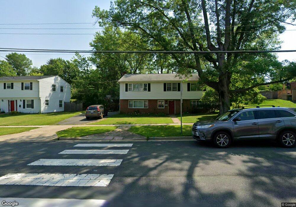
4211 University Dr Fairfax, VA 22030
Estimated Value: $751,339 - $774,000
4
Beds
3
Baths
2,058
Sq Ft
$371/Sq Ft
Est. Value
About This Home
This home is located at 4211 University Dr, Fairfax, VA 22030 and is currently estimated at $764,085, approximately $371 per square foot. 4211 University Dr is a home located in Fairfax City with nearby schools including Daniels Run Elementary School, Johnson Middle School, and Fairfax High.
Ownership History
Date
Name
Owned For
Owner Type
Purchase Details
Closed on
Aug 27, 2010
Sold by
Schatz Noel R and Schatz Merritt N
Bought by
Carroll Randall W and Carroll Robert M
Current Estimated Value
Home Financials for this Owner
Home Financials are based on the most recent Mortgage that was taken out on this home.
Original Mortgage
$299,000
Outstanding Balance
$198,738
Interest Rate
4.57%
Mortgage Type
New Conventional
Estimated Equity
$565,347
Create a Home Valuation Report for This Property
The Home Valuation Report is an in-depth analysis detailing your home's value as well as a comparison with similar homes in the area
Home Values in the Area
Average Home Value in this Area
Purchase History
| Date | Buyer | Sale Price | Title Company |
|---|---|---|---|
| Carroll Randall W | $399,000 | -- |
Source: Public Records
Mortgage History
| Date | Status | Borrower | Loan Amount |
|---|---|---|---|
| Open | Carroll Randall W | $299,000 |
Source: Public Records
Tax History Compared to Growth
Tax History
| Year | Tax Paid | Tax Assessment Tax Assessment Total Assessment is a certain percentage of the fair market value that is determined by local assessors to be the total taxable value of land and additions on the property. | Land | Improvement |
|---|---|---|---|---|
| 2025 | $7,191 | $681,600 | $265,700 | $415,900 |
| 2024 | $6,364 | $617,900 | $241,400 | $376,500 |
| 2023 | $6,201 | $605,000 | $236,600 | $368,400 |
| 2022 | $5,818 | $576,000 | $225,300 | $350,700 |
| 2021 | $5,897 | $548,600 | $214,500 | $334,100 |
| 2020 | $5,558 | $517,000 | $202,200 | $314,800 |
| 2019 | $5,346 | $500,800 | $196,300 | $304,500 |
| 2018 | $5,308 | $500,800 | $196,300 | $304,500 |
| 2017 | $2,654 | $500,800 | $196,300 | $304,500 |
| 2016 | $2,579 | $485,700 | $190,700 | $295,000 |
| 2015 | $4,905 | $466,300 | $183,300 | $283,000 |
| 2014 | $4,660 | $448,100 | $176,300 | $271,800 |
Source: Public Records
Map
Nearby Homes
- 10465 Courtney Dr
- 4200 Sideburn Rd
- 10419 Courthouse Dr
- 4126 Berritt St
- 4430 George Mason Blvd
- 4316 Chain Bridge Rd
- 10351 Sager Ave
- 4146 Addison Rd
- 4206 Collier Rd
- 10328 Sager Ave Unit 424
- 10328 Sager Ave Unit 402
- 10632 Pocket Place
- 10634 Pocket Place
- 10626 Regent Park Ct
- 10231 Aspen Willow Dr
- 4026 Walters Ct
- 10720 West Dr Unit 101
- 10723 West Dr Unit 103
- 10702 Simpson Mews Ln
- 10118 Dwight Ave
- 4209 University Dr
- 4213 University Dr
- 10418 Darby St
- 4207 University Dr
- 10420 Darby St
- 4215 University Dr
- 10416 Darby St
- 4205 University Dr
- 4210 University Dr
- 4212 University Dr
- 4203 University Dr
- 10422 Darby St
- 4217 University Dr
- 10414 Darby St
- 10415 Darby St
- 4214 University Dr
- 4201 University Dr
- 4216 University Dr
- 10412 Darby St
- 10417 Armstrong St