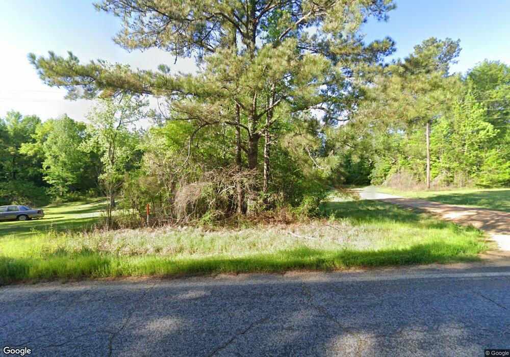
4213 Highway 550 NW Brookhaven, MS 39601
Estimated Value: $289,000 - $388,000
--
Bed
--
Bath
3,140
Sq Ft
$104/Sq Ft
Est. Value
About This Home
This home is located at 4213 Highway 550 NW, Brookhaven, MS 39601 and is currently estimated at $326,136, approximately $103 per square foot. 4213 Highway 550 NW is a home with nearby schools including Loyd Star School.
Ownership History
Date
Name
Owned For
Owner Type
Purchase Details
Closed on
May 6, 2022
Sold by
Dixie Springs Enterprises Llc
Bought by
Avery Holdings Llc
Current Estimated Value
Purchase Details
Closed on
Oct 25, 2021
Sold by
Clyde Browder
Bought by
Browder Clyde and Browder Annie
Purchase Details
Closed on
Oct 22, 2021
Sold by
Brand Alice N
Bought by
Dixie Springs Enterprises Llc
Purchase Details
Closed on
Sep 24, 2021
Sold by
Donna Peoples
Bought by
Matthews Linda
Purchase Details
Closed on
Sep 23, 2021
Sold by
Gregory Ratcliff Versie
Bought by
Brown Dan and Brown Monena
Purchase Details
Closed on
Sep 20, 2021
Sold by
Buie Sylvia A
Bought by
Brown Michael and Brown Pauline
Purchase Details
Closed on
Sep 9, 2021
Sold by
Vick Jr Earl B
Bought by
Washington Howard B
Purchase Details
Closed on
Sep 8, 2021
Sold by
Clyde Browder
Bought by
Browder Clyde and Browder Annie
Create a Home Valuation Report for This Property
The Home Valuation Report is an in-depth analysis detailing your home's value as well as a comparison with similar homes in the area
Home Values in the Area
Average Home Value in this Area
Purchase History
| Date | Buyer | Sale Price | Title Company |
|---|---|---|---|
| Avery Holdings Llc | -- | Robison Holmes Van Norman Pllc | |
| Browder Clyde | -- | Mumford & Mumford Pllc | |
| Dixie Springs Enterprises Llc | -- | Robison Holmes Van Norman Pllc | |
| Matthews Linda | -- | None Listed On Document | |
| Brown Dan | -- | None Listed On Document | |
| Brown Michael | -- | None Listed On Document | |
| Washington Howard B | -- | Boerner Law Firm Pc | |
| Browder Clyde | -- | Mumford & Mumford Pllc |
Source: Public Records
Tax History Compared to Growth
Tax History
| Year | Tax Paid | Tax Assessment Tax Assessment Total Assessment is a certain percentage of the fair market value that is determined by local assessors to be the total taxable value of land and additions on the property. | Land | Improvement |
|---|---|---|---|---|
| 2024 | $1,231 | $20,201 | $0 | $0 |
| 2023 | $1,231 | $19,105 | $0 | $0 |
| 2022 | $1,250 | $20,207 | $0 | $0 |
| 2021 | $1,269 | $19,105 | $0 | $0 |
| 2020 | $1,756 | $18,487 | $0 | $0 |
| 2019 | $1,753 | $18,542 | $0 | $0 |
| 2018 | $1,762 | $19,150 | $0 | $0 |
| 2016 | $1,609 | $18,603 | $0 | $0 |
| 2015 | $58 | $18,594 | $0 | $0 |
| 2014 | -- | $18,587 | $0 | $0 |
Source: Public Records
Map
Nearby Homes
- 4375 Mississippi 550
- 0 Mississippi 550
- 1077 Cleveland St
- TBD Mississippi 550
- 3103 Durr-Case Trail NW
- 0 John I Hay Rd
- Hwy 550
- 7096 Highway 28
- 2196 Barfoot Circle North E
- 2215 Hwy 550
- 1550 Dennis Smith Rd
- Dennis Smith Rd
- . Shucktown Rd Or Old Cc Rd
- 1919 Arthur Dr NW
- Arthur Dr NW
- 2774 Loyd Star Ln NW
- 00006 Old Red Star Rd
- Old Red Star Dr NW
- 3025 James Dr NW
- 00002 Old Red Star Dr NW
- 4211 NW Highway 550
- 4215 NW Highway 550
- 4209 NW Highway 550
- 4245 NW Highway 550
- 4208 NW Highway 550
- 4204 NW Highway 550
- 5420 Hwy 550 Hwy NW
- 3304 NW Coleman Ln
- 3308 NW Coleman Ln
- 4070 NW Highway 550
- 4061 NW Highway 550
- 4055 NW Highway 550
- 4060 NW Highway 550
- 4319 NW Highway 550
- 4318 Hwy 550
- 4023 NW Highway 550
- 4290 NW Highway 550
- 000 Hwy 550
- 4318 NW Highway 550
- 4318 Hwy 550nw
