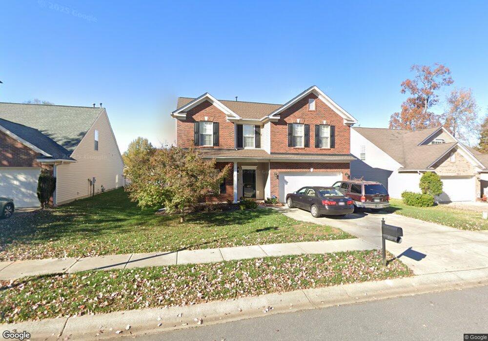
4213 Lawrence Daniel Dr Matthews, NC 28104
Estimated Value: $466,000 - $520,000
4
Beds
4
Baths
2,686
Sq Ft
$182/Sq Ft
Est. Value
About This Home
This home is located at 4213 Lawrence Daniel Dr, Matthews, NC 28104 and is currently estimated at $488,422, approximately $181 per square foot. 4213 Lawrence Daniel Dr is a home located in Union County with nearby schools including Stallings Elementary School, Porter Ridge Middle School, and Porter Ridge High School.
Ownership History
Date
Name
Owned For
Owner Type
Purchase Details
Closed on
Dec 31, 2008
Sold by
The Ryland Group Inc
Bought by
Foster Leroy and Foster Cecelia Garret
Current Estimated Value
Home Financials for this Owner
Home Financials are based on the most recent Mortgage that was taken out on this home.
Original Mortgage
$186,000
Outstanding Balance
$120,800
Interest Rate
5.95%
Mortgage Type
Unknown
Estimated Equity
$367,622
Purchase Details
Closed on
Sep 20, 2004
Sold by
The Ryland Group Inc
Bought by
Foster Leroy and Foster Cecelia Garrett
Home Financials for this Owner
Home Financials are based on the most recent Mortgage that was taken out on this home.
Original Mortgage
$188,100
Interest Rate
5.92%
Mortgage Type
Unknown
Create a Home Valuation Report for This Property
The Home Valuation Report is an in-depth analysis detailing your home's value as well as a comparison with similar homes in the area
Home Values in the Area
Average Home Value in this Area
Purchase History
| Date | Buyer | Sale Price | Title Company |
|---|---|---|---|
| Foster Leroy | -- | None Available | |
| The Ryland Group Inc | -- | None Available | |
| Foster Leroy | $199,000 | -- |
Source: Public Records
Mortgage History
| Date | Status | Borrower | Loan Amount |
|---|---|---|---|
| Open | Foster Leroy | $186,000 | |
| Previous Owner | Foster Leroy | $188,100 |
Source: Public Records
Tax History Compared to Growth
Tax History
| Year | Tax Paid | Tax Assessment Tax Assessment Total Assessment is a certain percentage of the fair market value that is determined by local assessors to be the total taxable value of land and additions on the property. | Land | Improvement |
|---|---|---|---|---|
| 2025 | $3,200 | $468,000 | $0 | $0 |
| 2024 | $2,671 | $303,700 | $55,000 | $248,700 |
| 2023 | $2,531 | $299,800 | $55,000 | $244,800 |
| 2022 | $2,510 | $299,800 | $55,000 | $244,800 |
| 2021 | $2,508 | $299,800 | $55,000 | $244,800 |
| 2020 | $2,112 | $206,500 | $37,500 | $169,000 |
| 2019 | $2,103 | $206,500 | $37,500 | $169,000 |
| 2018 | $2,103 | $206,500 | $37,500 | $169,000 |
| 2017 | $2,161 | $206,500 | $37,500 | $169,000 |
| 2016 | $2,177 | $206,500 | $37,500 | $169,000 |
| 2015 | $2,199 | $206,500 | $37,500 | $169,000 |
| 2014 | $1,500 | $211,960 | $32,500 | $179,460 |
Source: Public Records
Map
Nearby Homes
- 4023 Lawrence Daniel Dr
- 4324 Stallingswood Dr
- 4006 Scarlet Dr Unit 29
- 3017 Stevens Schultz Ln
- 15108 Castlebridge Ln
- 2126 Blue Iris Dr
- 14601 Phillips Rd
- 5401 Stevens Mill Rd
- 5419 Stevens Mill Rd
- 5033 Haven Lodge Rd
- 1830 Light Brigade Dr Unit v512
- 2544 Mount Harmony Church Rd
- 315 Tamarack Dr
- 16020 Clear Creek Farm Rd
- 14818 Hooks Rd
- 14027 Hackamore Dr
- 2108 Stallings Rd
- 0000 White Oak Ln
- 201 Limerick Dr
- 14200 Springwater Dr
- 4215 Lawrence Daniel Dr
- 4211 Lawrence Daniel Dr
- 4209 Lawrence Daniel Dr
- 4212 Lawrence Daniel Dr
- 4214 Lawrence Daniel Dr
- 4223 Lawrence Daniel Dr
- 4207 Lawrence Daniel Dr
- 4210 Lawrence Daniel Dr
- 4210 Lawrence Daniel Dr Unit 27
- 4216 Lawrence Daniel Dr
- 4216 Lawrence Daniel Dr Unit 9/24
- 4208 Lawrence Daniel Dr
- 4218 Lawrence Daniel Dr
- 4225 Lawrence Daniel Dr
- 4205 Lawrence Daniel Dr
- 4220 Lawrence Daniel Dr
- 4206 Lawrence Daniel Dr
- 4007 Lawrence Daniel Dr
- 4005 Lawrence Daniel Dr
- 4222 Lawrence Daniel Dr