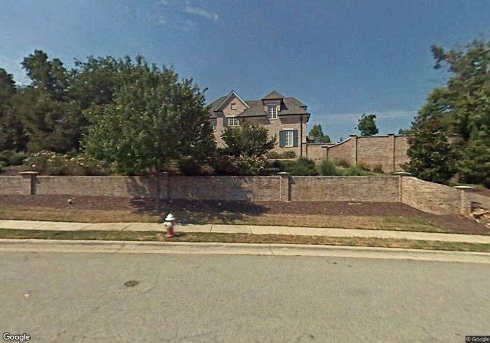
4213 Rock Bridge Rd High Point, NC 27262
Estimated Value: $1,100,914 - $1,339,000
About This Home
This home is located at 4213 Rock Bridge Rd, High Point, NC 27262 and is currently estimated at $1,193,971, approximately $133 per square foot. 4213 Rock Bridge Rd is a home located in Davidson County with nearby schools including Friendship Elementary School, Ledford Middle School, and Ledford High School.
Ownership History
We collect this data history from publicly available records. To have your information removed, we recommend requesting removal directly through your county’s website.
Purchase Details
Home Financials for this Owner
Home Financials are based on the most recent Mortgage that was taken out on this home.Purchase Details
Purchase Details
Purchase Details
Purchase Details
Purchase History
We collect this data history from publicly available records. To have your information removed, we recommend requesting removal directly through your county’s website.
| Date | Buyer | Sale Price | Title Company |
|---|---|---|---|
| $875,000 | None Available | ||
| $1,100,000 | -- | ||
| $106,000 | -- | ||
| $112,500 | -- | ||
| -- | -- |
Mortgage History
We collect this data history from publicly available records. To have your information removed, we recommend requesting removal directly through your county’s website.
| Date | Status | Borrower | Loan Amount |
|---|---|---|---|
| Open | $700,000 |
Tax History
We collect this data history from publicly available records. To have your information removed, we recommend requesting removal directly through your county’s website.
| Year | Tax Paid | Tax Assessment Tax Assessment Total Assessment is a certain percentage of the fair market value that is determined by local assessors to be the total taxable value of land and additions on the property. | Land | Improvement |
|---|---|---|---|---|
| 2025 | $11,203 | $957,800 | $0 | $0 |
| 2024 | $11,203 | $957,800 | $0 | $0 |
| 2023 | $10,920 | $957,800 | $0 | $0 |
| 2022 | $10,920 | $957,800 | $0 | $0 |
| 2021 | $11,203 | $957,800 | $0 | $0 |
| 2020 | $10,173 | $869,760 | $0 | $0 |
| 2019 | $10,328 | $869,760 | $0 | $0 |
| 2018 | $10,328 | $869,760 | $0 | $0 |
| 2017 | $10,328 | $869,760 | $0 | $0 |
| 2016 | $10,328 | $869,760 | $0 | $0 |
| 2015 | $10,350 | $869,760 | $0 | $0 |
| 2014 | $10,534 | $874,880 | $0 | $0 |
Map
- 2801 Swan Lake Dr
- 5041 Bennington Way
- 2901 Fernley Ct
- 2929 Fernley Ct
- 2729 Croquet Cir
- 2731 Croquet Cir
- 4221 Pennfield Way
- 4106 Pennfield Way
- 4478 Chestnut Street Extension
- 0 Laura Ln
- 4220 Canter Creek Ln
- 4086 Stallion St
- 1212 Sturbridge Ave
- 1805 Country Club Dr
- 1207 Sturbridge Ave
- 1664 Brumley Ct
- 2826 Fallin Ct
- 615 Burning Tree Cir
- 201 Cascade Dr
- 1319 Heathcliff Ct
- 2903 Maggie Ct
- 2904 Swan Lake Dr
- 4201 Rock Bridge Rd
- 2908 Swan Lake Dr
- 4218 Rock Bridge Rd
- 4210 Rock Bridge Rd
- 2912 Swan Lake Dr
- 2909 Maggie Ct
- 2900 Maggie Ct
- 2931 Swan Lake Dr
- 2904 Maggie Ct
- 4224 Rock Bridge Rd
- Lot 54 Swan Lake Dr
- 2800 Swan Lake Dr
- 2916 Swan Lake Dr
- 4214 Rock Bridge Rd
- 2905 Swan Lake Dr
- 2909 Swan Lake Dr
- 4206 Rock Bridge Rd
- 2913 Swan Lake Dr
Ask me questions while you tour the home.