42130 Rock Cod Sea Ranch, CA 95497
The Sea Ranch NeighborhoodEstimated Value: $1,033,000 - $1,566,000
2
Beds
2
Baths
1,710
Sq Ft
$734/Sq Ft
Est. Value
About This Home
This home is located at 42130 Rock Cod, Sea Ranch, CA 95497 and is currently estimated at $1,254,777, approximately $733 per square foot. 42130 Rock Cod is a home with nearby schools including Point Arena High School.
Ownership History
Date
Name
Owned For
Owner Type
Purchase Details
Closed on
Jun 9, 2015
Sold by
Rodens Thomas E and Rodens Gerard Mary
Bought by
Green Terence J and Green Linda A
Current Estimated Value
Home Financials for this Owner
Home Financials are based on the most recent Mortgage that was taken out on this home.
Original Mortgage
$90,000
Outstanding Balance
$70,005
Interest Rate
3.87%
Mortgage Type
Adjustable Rate Mortgage/ARM
Estimated Equity
$1,184,772
Purchase Details
Closed on
Jul 1, 2008
Sold by
Rodens Thomas E and Rodens Gerard Mary
Bought by
Rodens Thomas E and Rodens Gerard Mary
Create a Home Valuation Report for This Property
The Home Valuation Report is an in-depth analysis detailing your home's value as well as a comparison with similar homes in the area
Home Values in the Area
Average Home Value in this Area
Purchase History
| Date | Buyer | Sale Price | Title Company |
|---|---|---|---|
| Green Terence J | $178,000 | First American Title Company | |
| Rodens Thomas E | -- | None Available |
Source: Public Records
Mortgage History
| Date | Status | Borrower | Loan Amount |
|---|---|---|---|
| Open | Green Terence J | $90,000 |
Source: Public Records
Tax History
| Year | Tax Paid | Tax Assessment Tax Assessment Total Assessment is a certain percentage of the fair market value that is determined by local assessors to be the total taxable value of land and additions on the property. | Land | Improvement |
|---|---|---|---|---|
| 2025 | $10,326 | $952,133 | $241,265 | $710,868 |
| 2024 | $10,326 | $933,465 | $236,535 | $696,930 |
| 2023 | $10,326 | $915,163 | $231,898 | $683,265 |
| 2022 | $9,721 | $897,219 | $227,351 | $669,868 |
| 2021 | $9,555 | $879,628 | $222,894 | $656,734 |
| 2020 | $3,172 | $264,459 | $195,609 | $68,850 |
| 2019 | $3,120 | $259,274 | $191,774 | $67,500 |
| 2018 | $2,154 | $188,014 | $188,014 | $0 |
| 2017 | $2,129 | $184,328 | $184,328 | $0 |
| 2016 | $2,086 | $180,714 | $180,714 | $0 |
| 2015 | -- | $93,564 | $93,564 | $0 |
| 2014 | -- | $91,732 | $91,732 | $0 |
Source: Public Records
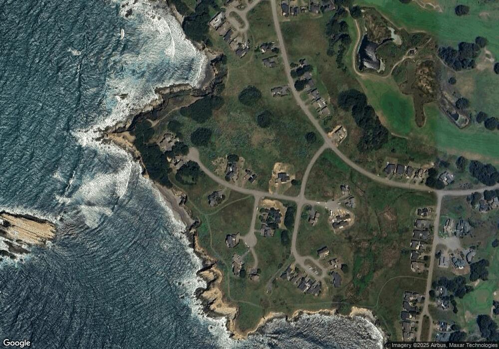
Map
Nearby Homes
- 42080 Rock Cod
- 42267 Forecastle
- 42320 Forecastle Unit 35E-2
- 41569 Hatch Way
- 237 Badger
- 41146 Leeward Rd Unit 35C
- 332 Antler
- 74 Burl Tree
- 42460 Leeward Rd
- 39463 Leeward Rd
- 41934 Leeward Rd
- 39001 Cypress Way
- 38882 Honey Run Ln
- 38640 Coral Ct
- 38851 S Highway 1 Unit 39
- 38851 S Highway 1 Unit M-15
- 38851 S Highway 1 Unit 31
- 38650 Pacific Dr
- 46151 Pacific Woods Rd
- 46251 Pacific Woods Rd
- 42142 Rock Cod
- 42179 Rock Cod
- 42102 Rock Cod
- 42145 Rock Cod Unkn
- 42145 Rock Cod
- 277 Buckeye Trail
- 285 Buckeye Trail
- 290 Buckeye Trail
- 42185 Rock Cod
- 42089 Rock Cod
- 42199 Rock Cod
- 296 Buckeye None
- 296 Buckeye
- 42177 Leeward Rd
- 42199 Rock Cod Unkn
- 296 Buckeye Unkn
- 42070 Rock Cod
- 42136 Leeward Rd
- 42100 Leeward Rd
- 42067 Rock Cod
Your Personal Tour Guide
Ask me questions while you tour the home.