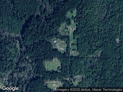
42134 N Fork Hubbard Creek Rd Port Orford, OR 97465
Estimated Value: $705,000
--
Bed
--
Bath
3,106
Sq Ft
$227/Sq Ft
Est. Value
About This Home
This home is located at 42134 N Fork Hubbard Creek Rd, Port Orford, OR 97465 and is currently estimated at $705,000, approximately $226 per square foot. 42134 N Fork Hubbard Creek Rd is a home with nearby schools including Driftwood Elementary School and Pacific High School.
Create a Home Valuation Report for This Property
The Home Valuation Report is an in-depth analysis detailing your home's value as well as a comparison with similar homes in the area
Home Values in the Area
Average Home Value in this Area
Tax History Compared to Growth
Tax History
| Year | Tax Paid | Tax Assessment Tax Assessment Total Assessment is a certain percentage of the fair market value that is determined by local assessors to be the total taxable value of land and additions on the property. | Land | Improvement |
|---|---|---|---|---|
| 2024 | $2,837 | $300,680 | -- | -- |
| 2023 | $2,761 | $291,930 | $0 | $0 |
| 2022 | $2,688 | $283,430 | $0 | $0 |
| 2021 | $2,619 | $275,180 | $0 | $0 |
| 2020 | $2,550 | $267,170 | $0 | $0 |
| 2019 | $2,595 | $259,390 | $0 | $0 |
| 2018 | $2,524 | $251,840 | $0 | $0 |
| 2017 | $2,471 | $251,840 | $0 | $0 |
| 2016 | $7,496 | $244,510 | $0 | $0 |
| 2015 | $1,196 | $237,390 | $0 | $0 |
| 2014 | $1,196 | $121,900 | $0 | $0 |
Source: Public Records
Map
Nearby Homes
- 41925 N Fork Hubbard Ck Rd
- 42065 Vista Dr
- 41985 Humbug Way
- 41920 Park Rd
- 0 Vista St Unit 23631922
- 0 Hubbard Ln Unit 6 209782940
- 0 Hubbard Ln Unit 5 266635634
- 0 Hubbard Ln Unit 3 780791373
- 0 Hubbard Ln Unit 4 629155796
- 0 Hubbard Ln Unit 7 539651754
- 0 Hubbard Ln Unit 2 245442659
- 0 Hubbard Ln Unit 1 329622010
- 42250 Cedar Hollow Rd
- 41930 Old Mill Rd
- 41565 Highway 101
- 4 Doug Johnson Ln
- 0 Hensley Hill Rd Unit 650010370
- 4 Vista Dr
- 2060 Deady St
- 0 Deady St Unit 328661509
- 42134 N Fork Hubbard Creek Rd
- 42132 N Fork Hubbard Creek Rd
- 41931 N Fork Hubbard Creek Rd
- 42096 Old Mill Rd
- 42118 Old Mill Rd
- 42117 Old Mill Rd
- 41875 Green Dolphin Way
- 41917 Humbug Way
- 42015 Humbug Way
- 41470 Green Dolphin Way
- 42091 Vista Dr
- 41998 Humbug Way
- 42111 Vista Dr
- 42138 Old Mill Rd
- 42141 Vista Dr
- 0 N Fork Hubbard Creek Rd Unit 4 20029460
- 0 N Fork Hubbard Creek Rd
- 42131 Vista Dr
- 42052 Vista Dr
- 0 Humbug Way Unit 20095766
