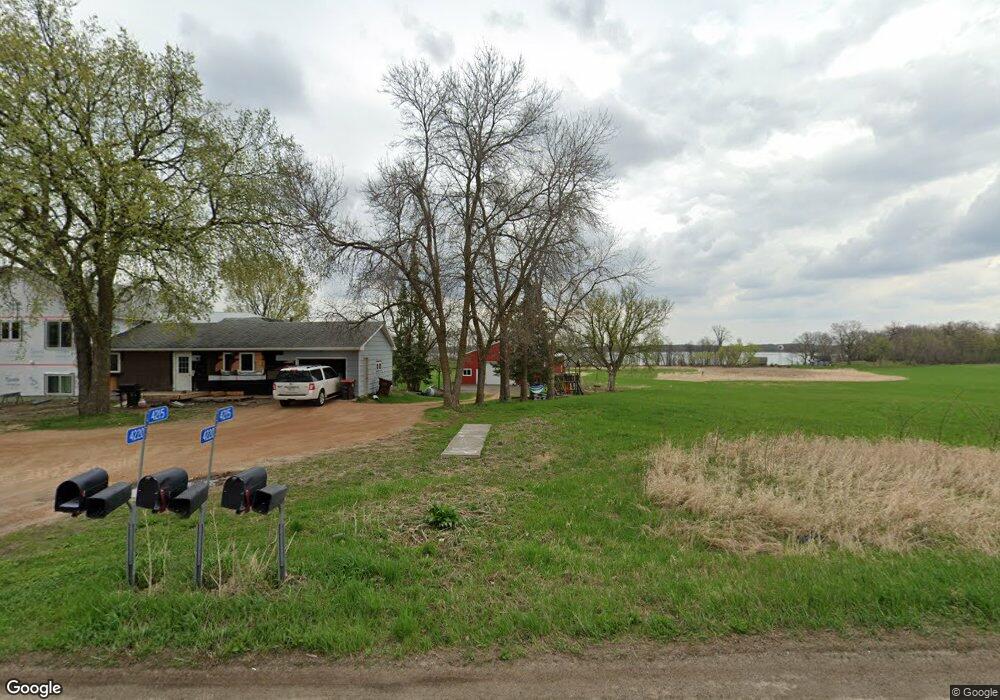
4215 County Road 10 N Watertown, MN 55388
Estimated Value: $389,000 - $570,465
3
Beds
2
Baths
1,344
Sq Ft
$375/Sq Ft
Est. Value
About This Home
This home is located at 4215 County Road 10 N, Watertown, MN 55388 and is currently estimated at $504,366, approximately $375 per square foot. 4215 County Road 10 N is a home located in Carver County with nearby schools including Watertown-Mayer Elementary School, Watertown-Mayer Middle School, and Watertown Mayer High School.
Ownership History
Date
Name
Owned For
Owner Type
Purchase Details
Closed on
Jun 17, 2020
Sold by
Windsperger Leeroy M and Estate Of Richard W Windsperge
Bought by
Davis Larry and Davis Cheryl N
Current Estimated Value
Home Financials for this Owner
Home Financials are based on the most recent Mortgage that was taken out on this home.
Original Mortgage
$224,000
Interest Rate
3.2%
Mortgage Type
Commercial
Create a Home Valuation Report for This Property
The Home Valuation Report is an in-depth analysis detailing your home's value as well as a comparison with similar homes in the area
Home Values in the Area
Average Home Value in this Area
Purchase History
| Date | Buyer | Sale Price | Title Company |
|---|---|---|---|
| Davis Larry | $280,000 | Watermark Title Agency |
Source: Public Records
Mortgage History
| Date | Status | Borrower | Loan Amount |
|---|---|---|---|
| Closed | Davis Larry | $224,000 |
Source: Public Records
Tax History Compared to Growth
Tax History
| Year | Tax Paid | Tax Assessment Tax Assessment Total Assessment is a certain percentage of the fair market value that is determined by local assessors to be the total taxable value of land and additions on the property. | Land | Improvement |
|---|---|---|---|---|
| 2025 | $4,464 | $505,000 | $250,000 | $255,000 |
| 2024 | $3,984 | $506,600 | $250,000 | $256,600 |
| 2023 | $4,200 | $451,800 | $250,000 | $201,800 |
| 2022 | $4,024 | $472,200 | $270,500 | $201,700 |
| 2021 | $4,064 | $371,900 | $210,600 | $161,300 |
| 2020 | $3,898 | $371,900 | $210,600 | $161,300 |
| 2019 | $2,810 | $251,000 | $128,200 | $122,800 |
| 2018 | $2,852 | $337,200 | $186,800 | $150,400 |
| 2017 | $2,694 | $321,600 | $171,200 | $150,400 |
| 2016 | $2,768 | $281,700 | $0 | $0 |
| 2015 | $2,348 | $283,200 | $0 | $0 |
| 2014 | $2,348 | $221,300 | $0 | $0 |
Source: Public Records
Map
Nearby Homes
- 593 Sienna Dr
- 578 Sienna Dr
- 865 Quail Ct
- 1221 Bishop Cir
- 1201 Bishop Cir
- 1290 Knight Ln
- XXX Newton Ave SE
- 536 Industrial Blvd
- 555 Industrial Blvd
- 516 Industrial Blvd
- 575 Industrial Blvd
- 12120 County Road 24
- 127XX 58th St
- 2325 Kristi Ln
- 829 Reo Rd
- 545 Linden Ct
- 1316 Balsam Ln
- 1286 Balsam Ln
- 570 Linden Ct
- 613 Hawthorne Ln
- 4165 County Road 10 N
- 4220 County Road 10 N
- 4115 County Road 10 N
- 12000 Cattle Ln
- 4365 County Road 10 N
- 12190 Cattle Ln
- 3980 County Road 10 N
- 4375 County Road 10 N
- 3950 County Road 10 N
- 12210 Cattle Ln
- 12240 Cattle Ln
- 12270 Cattle Ln
- 4550 County Road 10 N
- 3790 County Road 10 N
- 12230 46th St
- 12065 46th St
- 12075 46th St
- 12125 46th St
- 3750 County Road 10 N
- 12280 46th St