4215 Grant Rd Central Point, OR 97502
Estimated Value: $683,256 - $923,000
4
Beds
2
Baths
3,261
Sq Ft
$245/Sq Ft
Est. Value
About This Home
This home is located at 4215 Grant Rd, Central Point, OR 97502 and is currently estimated at $800,085, approximately $245 per square foot. 4215 Grant Rd is a home located in Jackson County with nearby schools including Richardson Elementary School, Scenic Middle School, and Crater High School.
Ownership History
Date
Name
Owned For
Owner Type
Purchase Details
Closed on
Jul 23, 1999
Sold by
Brotherton Charles R and Brotherton Cari D
Bought by
Brotherton Charles R
Current Estimated Value
Home Financials for this Owner
Home Financials are based on the most recent Mortgage that was taken out on this home.
Original Mortgage
$140,000
Outstanding Balance
$37,226
Interest Rate
7.64%
Estimated Equity
$762,859
Purchase Details
Closed on
Mar 13, 1998
Sold by
Malot Thomas Eric and Malot Tiffany A
Bought by
Brotherton Charles R and Brotherton Cari D
Home Financials for this Owner
Home Financials are based on the most recent Mortgage that was taken out on this home.
Original Mortgage
$35,000
Interest Rate
7.02%
Mortgage Type
Seller Take Back
Create a Home Valuation Report for This Property
The Home Valuation Report is an in-depth analysis detailing your home's value as well as a comparison with similar homes in the area
Purchase History
| Date | Buyer | Sale Price | Title Company |
|---|---|---|---|
| Brotherton Charles R | -- | Crater Title Insurance | |
| Brotherton Charles R | $75,000 | Key Title Company |
Source: Public Records
Mortgage History
| Date | Status | Borrower | Loan Amount |
|---|---|---|---|
| Open | Brotherton Charles R | $140,000 | |
| Closed | Brotherton Charles R | $35,000 |
Source: Public Records
Tax History Compared to Growth
Tax History
| Year | Tax Paid | Tax Assessment Tax Assessment Total Assessment is a certain percentage of the fair market value that is determined by local assessors to be the total taxable value of land and additions on the property. | Land | Improvement |
|---|---|---|---|---|
| 2026 | $4,582 | $375,320 | -- | -- |
| 2025 | $4,477 | $364,390 | $130,810 | $233,580 |
| 2024 | $4,477 | $353,780 | $127,000 | $226,780 |
| 2023 | $4,328 | $343,480 | $123,300 | $220,180 |
| 2022 | $4,236 | $343,480 | $123,300 | $220,180 |
| 2021 | $4,116 | $333,480 | $119,710 | $213,770 |
| 2020 | $3,995 | $323,770 | $116,220 | $207,550 |
| 2019 | $3,903 | $305,190 | $109,550 | $195,640 |
| 2018 | $3,782 | $296,310 | $106,360 | $189,950 |
| 2017 | $3,693 | $296,310 | $106,360 | $189,950 |
| 2016 | $3,585 | $279,310 | $100,270 | $179,040 |
| 2015 | $3,419 | $279,310 | $100,270 | $179,040 |
| 2014 | $3,336 | $263,290 | $94,520 | $168,770 |
Source: Public Records
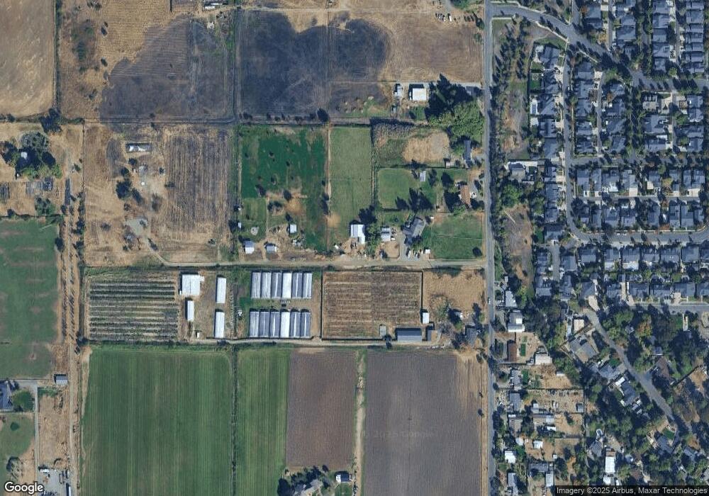
Map
Nearby Homes
- 1134 Steamboat Dr
- 1317 River Run St
- 407 Silver Creek Dr
- 606 Blue Moon Dr
- 545 Bridge Creek Dr
- 626 Griffin Oaks Dr
- 1167 Boulder Ridge St
- 0 Boulder Ridge St
- 426 Bridge Creek Dr
- 420 Mayberry Ln
- 348 Cascade Dr
- 2021 Taylor Rd
- 369 Cascade Dr
- 327 Brookhaven Dr
- 366 Marian Ave Unit 39
- 4626 N Pacific Hwy
- 356 Marian Ave Unit 40
- 166 Nadine Ln
- 1860 Cottonwood Dr
- 21 Hickory Ln
- 4269 Grant Rd
- 4270 Grant Rd
- 4305 Grant Rd
- 4178 Grant Rd
- 4147 Grant Rd
- 819 Buck Point St
- 809 Buck Point St
- 4164 Grant Rd
- 813 Buck Point St
- 811 Buck Point St
- 4333 Grant Rd
- 815 Buck Point St
- 805 Buck Point St
- 817 Buck Point St
- 921 Buck Point St
- 807 Buck Point St
- 4138 Grant Rd
- 803 Buck Point St
- 923 Buck Point St
- 4175 Carlton Ave