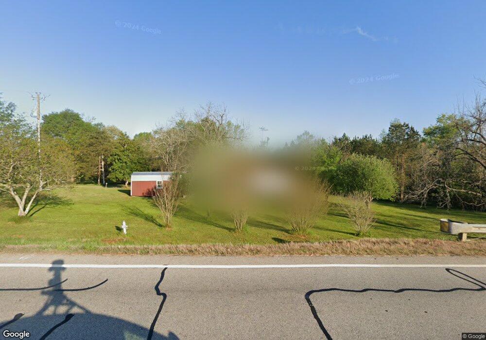
4215 Highway 63 Carnesville, GA 30521
Estimated Value: $219,525 - $408,000
3
Beds
1
Bath
1,092
Sq Ft
$309/Sq Ft
Est. Value
About This Home
This home is located at 4215 Highway 63, Carnesville, GA 30521 and is currently estimated at $337,508, approximately $309 per square foot. 4215 Highway 63 is a home located in Banks County with nearby schools including Banks County Primary School, Banks County Elementary School, and Banks County Middle School.
Ownership History
Date
Name
Owned For
Owner Type
Purchase Details
Closed on
Sep 24, 2019
Sold by
Farley Rosie Lee
Bought by
Ingle Dennis Eugene and Ingle Sandra Marie
Current Estimated Value
Home Financials for this Owner
Home Financials are based on the most recent Mortgage that was taken out on this home.
Original Mortgage
$130,150
Outstanding Balance
$113,513
Interest Rate
3.5%
Mortgage Type
New Conventional
Estimated Equity
$223,995
Create a Home Valuation Report for This Property
The Home Valuation Report is an in-depth analysis detailing your home's value as well as a comparison with similar homes in the area
Home Values in the Area
Average Home Value in this Area
Purchase History
| Date | Buyer | Sale Price | Title Company |
|---|---|---|---|
| Ingle Dennis Eugene | $137,000 | -- |
Source: Public Records
Mortgage History
| Date | Status | Borrower | Loan Amount |
|---|---|---|---|
| Open | Ingle Dennis Eugene | $130,150 |
Source: Public Records
Tax History Compared to Growth
Tax History
| Year | Tax Paid | Tax Assessment Tax Assessment Total Assessment is a certain percentage of the fair market value that is determined by local assessors to be the total taxable value of land and additions on the property. | Land | Improvement |
|---|---|---|---|---|
| 2025 | $990 | $76,033 | $23,362 | $52,671 |
| 2024 | $990 | $71,852 | $21,238 | $50,614 |
| 2023 | $1,022 | $57,390 | $20,182 | $37,208 |
| 2022 | $545 | $45,939 | $14,740 | $31,199 |
| 2021 | $455 | $40,344 | $11,870 | $28,474 |
| 2020 | $189 | $28,232 | $8,792 | $19,440 |
| 2019 | $190 | $28,232 | $8,792 | $19,440 |
| 2018 | $152 | $26,491 | $8,792 | $17,699 |
| 2017 | $134 | $25,504 | $7,646 | $17,858 |
| 2016 | $148 | $25,904 | $7,646 | $18,258 |
| 2015 | $353 | $25,904 | $7,646 | $18,258 |
| 2014 | $353 | $35,031 | $16,772 | $18,258 |
| 2013 | -- | $35,640 | $19,244 | $16,396 |
Source: Public Records
Map
Nearby Homes
- 4638 Highway 63
- 0 Poplar Mountain Ln
- 262 Garrison Rd
- 150 Garrison Rd
- 14 Kristy Ln
- 2526 Prospect Rd
- 0 Banks Academy Rd Unit 10636762
- 2630 Prospect Rd
- 2205 Highway 51 N
- 135 Canters Run
- 1313 Damascus Rd
- 0 Falcon Ln Unit 10495019
- 0 Falcon Ln Unit 1024877
- 6343 Georgia 198
- 4001 Highway 198
- 108 Indigo Cir
- LOT 10 Bent Tree Rd
- 340 Mcfarlin Blvd
- 152 Charity Dr
- 716 Hawkins Rd
- 4215 Georgia 63
- 00 Ga Hwy 63
- 4126 Highway 63
- 4563 Highway 198
- 4465 Highway 198
- 150 Fulbright Rd
- 165 Fulbright Rd
- 3729 Georgia 63
- 3276 Georgia 63
- 4464 Highway 198
- 221 Fulbright Rd
- 4386 Highway 63
- 4274 Highway 198
- 4742 Highway 198
- 4813 Highway 198
- 4811 Highway 198
- 4544 Highway 63
- 3896 Highway 63
- 7037 Highway 198
- 4175 Highway 198