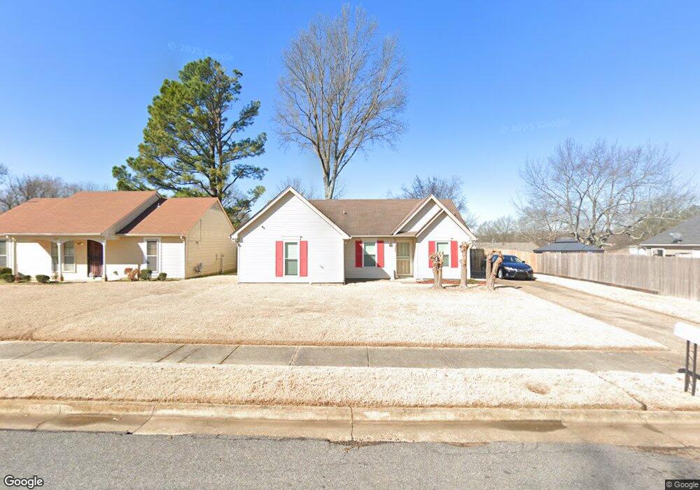
4215 Oak Wind Dr Memphis, TN 38141
Hickory Hill NeighborhoodEstimated Value: $150,000 - $194,000
3
Beds
2
Baths
1,150
Sq Ft
$141/Sq Ft
Est. Value
About This Home
This home is located at 4215 Oak Wind Dr, Memphis, TN 38141 and is currently estimated at $162,314, approximately $141 per square foot. 4215 Oak Wind Dr is a home located in Shelby County with nearby schools including Ross Elementary School, Kirby High School, and East Academy.
Ownership History
Date
Name
Owned For
Owner Type
Purchase Details
Closed on
Jan 17, 2002
Sold by
Foust Lloyd
Bought by
Suide Arnold
Current Estimated Value
Home Financials for this Owner
Home Financials are based on the most recent Mortgage that was taken out on this home.
Original Mortgage
$80,000
Outstanding Balance
$32,096
Interest Rate
7.08%
Estimated Equity
$130,218
Purchase Details
Closed on
Jul 13, 2000
Sold by
Neville James M and Neville E
Bought by
Hud
Create a Home Valuation Report for This Property
The Home Valuation Report is an in-depth analysis detailing your home's value as well as a comparison with similar homes in the area
Home Values in the Area
Average Home Value in this Area
Purchase History
| Date | Buyer | Sale Price | Title Company |
|---|---|---|---|
| Suide Arnold | $80,000 | -- | |
| Hud | $59,478 | -- | |
| Hud | $59,478 | -- |
Source: Public Records
Mortgage History
| Date | Status | Borrower | Loan Amount |
|---|---|---|---|
| Open | Suide Arnold | $80,000 |
Source: Public Records
Tax History
| Year | Tax Paid | Tax Assessment Tax Assessment Total Assessment is a certain percentage of the fair market value that is determined by local assessors to be the total taxable value of land and additions on the property. | Land | Improvement |
|---|---|---|---|---|
| 2025 | -- | $33,875 | $6,000 | $27,875 |
| 2024 | -- | $25,100 | $4,500 | $20,600 |
| 2023 | $1,529 | $25,100 | $4,500 | $20,600 |
| 2022 | $1,529 | $25,100 | $4,500 | $20,600 |
| 2021 | $1,547 | $25,100 | $4,500 | $20,600 |
| 2020 | $1,263 | $17,425 | $4,500 | $12,925 |
| 2019 | $1,263 | $17,425 | $4,500 | $12,925 |
| 2018 | $1,263 | $17,425 | $4,500 | $12,925 |
| 2017 | $716 | $17,425 | $4,500 | $12,925 |
| 2016 | $710 | $16,250 | $0 | $0 |
| 2014 | $710 | $16,250 | $0 | $0 |
Source: Public Records
Map
Nearby Homes
- 6604 Gazebo Cove
- 4288 Ross Rd
- 6738 Ross Ridge Dr
- 4395 Cedar Park Dr
- 4121 Starwood Dr
- 4418 Spring Park Dr
- 6605 Red Birch Dr
- 3955 Seawind Cove
- 6767 Castlegate Cove
- 6803 Devenshire Ln
- 3968 Wandering Way
- 4243 Sunnyslope Dr
- 4194 Wesgate Trail
- 6767 Smokey Ln
- 6233 Cranbury Park Dr
- 6294 Scarletcrest Ln
- 6661 Bent Birch Cove
- 4179 Rosewind Cir
- 4343 Deergrove Rd
- 4529 Quail Ridge Trail
- 4221 Oak Wind Dr
- 6537 Falling Mist Ln
- 4218 Dew Mist Cove
- 4229 Oak Wind Dr
- 4208 Dew Mist Cove
- 4224 Dew Mist Cove
- 4212 Oak Wind Dr
- 4204 Oak Wind Dr
- 4235 Oak Wind Dr
- 4230 Oak Wind Dr
- 6536 Falling Mist Ln
- 4228 Dew Mist Cove
- 4196 Oak Wind Dr
- 6528 Falling Mist Ln
- 6520 Falling Mist Ln
- 4211 Red Leaf Cove
- 4243 Oak Wind Dr
- 4240 Oak Wind Dr
- 6561 Falling Tree Dr
- 4190 Oak Wind Dr
Your Personal Tour Guide
Ask me questions while you tour the home.