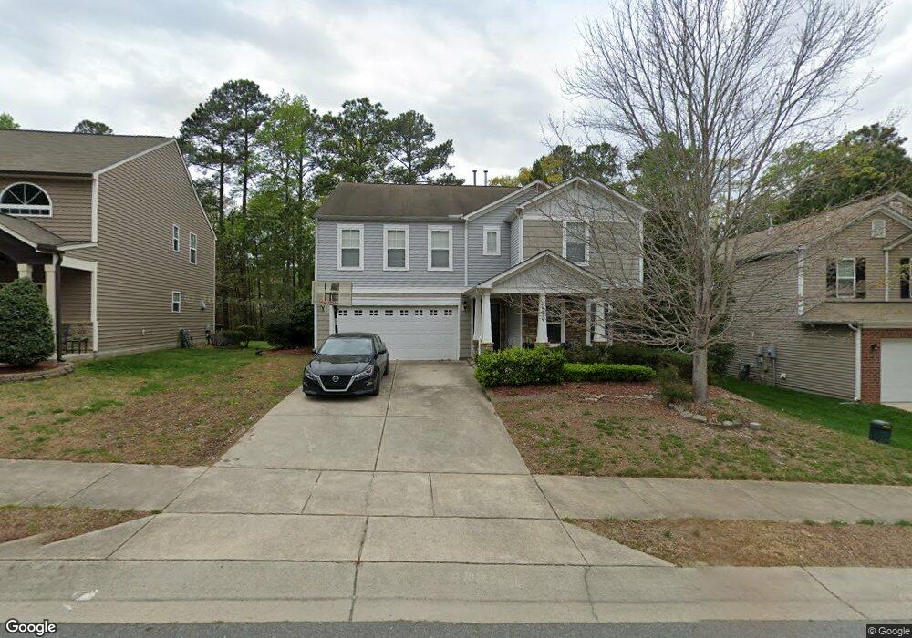
4216 Offshore Dr Unit 21 Raleigh, NC 27610
Southeast Raleigh NeighborhoodEstimated Value: $372,000 - $419,000
4
Beds
3
Baths
2,723
Sq Ft
$145/Sq Ft
Est. Value
About This Home
This home is located at 4216 Offshore Dr Unit 21, Raleigh, NC 27610 and is currently estimated at $395,614, approximately $145 per square foot. 4216 Offshore Dr Unit 21 is a home located in Wake County with nearby schools including East Garner Elementary School, East Garner Middle School, and South Garner High.
Ownership History
Date
Name
Owned For
Owner Type
Purchase Details
Closed on
May 12, 2017
Sold by
Bryant Shuranda M
Bought by
Csh Property One Llc
Current Estimated Value
Purchase Details
Closed on
Apr 29, 2011
Sold by
Centex Homes
Bought by
Bryant Shuranda M
Home Financials for this Owner
Home Financials are based on the most recent Mortgage that was taken out on this home.
Original Mortgage
$193,359
Interest Rate
4.74%
Mortgage Type
VA
Create a Home Valuation Report for This Property
The Home Valuation Report is an in-depth analysis detailing your home's value as well as a comparison with similar homes in the area
Home Values in the Area
Average Home Value in this Area
Purchase History
| Date | Buyer | Sale Price | Title Company |
|---|---|---|---|
| Csh Property One Llc | $177,000 | None Available | |
| Bryant Shuranda M | $189,500 | None Available |
Source: Public Records
Mortgage History
| Date | Status | Borrower | Loan Amount |
|---|---|---|---|
| Previous Owner | Bryant Shuranda M | $193,359 |
Source: Public Records
Tax History Compared to Growth
Tax History
| Year | Tax Paid | Tax Assessment Tax Assessment Total Assessment is a certain percentage of the fair market value that is determined by local assessors to be the total taxable value of land and additions on the property. | Land | Improvement |
|---|---|---|---|---|
| 2025 | $3,357 | $382,689 | $65,000 | $317,689 |
| 2024 | $3,344 | $382,689 | $65,000 | $317,689 |
| 2023 | $2,576 | $234,514 | $48,000 | $186,514 |
| 2022 | $2,394 | $234,514 | $48,000 | $186,514 |
| 2021 | $2,302 | $234,514 | $48,000 | $186,514 |
| 2020 | $2,260 | $234,514 | $48,000 | $186,514 |
| 2019 | $2,157 | $184,361 | $35,000 | $149,361 |
| 2018 | $2,034 | $184,361 | $35,000 | $149,361 |
| 2017 | $1,938 | $184,361 | $35,000 | $149,361 |
| 2016 | $1,898 | $184,361 | $35,000 | $149,361 |
| 2015 | $2,162 | $206,894 | $40,000 | $166,894 |
| 2014 | $2,051 | $206,894 | $40,000 | $166,894 |
Source: Public Records
Map
Nearby Homes
- 6839 Harter Ct Unit 35
- 6839 Harter Ct
- 6604 Frogstool Ln
- 6848 Horseback Ln
- 6516 Battle Bridge Rd
- Litchfield Plan at Battle Bridge
- Winchester Plan at Battle Bridge
- Rochester Plan at Battle Bridge
- 6447 Granite Quarry Dr
- 6445 Granite Quarry Dr
- 6411 Granite Quarry Dr
- 3836 Griffis Glen Dr
- 6407 Granite Quarry Dr
- 6409 Granite Quarry Dr
- 6125 Arsenal Ave
- 6127 Arsenal Ave
- 6123 Arsenal Ave
- 7101 Battle Bridge Rd
- 2900 Poole Farm Ln
- 6606 Gibraltar Rock Dr
- 4216 Offshore Dr
- 4218 Offshore Dr
- 4218 Offshore Dr Unit 22
- 4212 Offshore Dr
- 4212 Offshore Dr Unit 20
- 4222 Offshore Dr
- 4213 Offshore Dr
- 4226 Offshore Dr
- 4217 Offshore Dr
- 4211 Offshore Dr
- 4211 Offshore Dr Unit 2
- 4221 Offshore Dr
- 4207 Offshore Dr
- 4225 Offshore Dr
- 4230 Offshore Dr
- 4229 Offshore Dr
- 4233 Offshore Dr
- 4238 Offshore Dr
- 6703 Harter Ct
- 4237 Offshore Dr