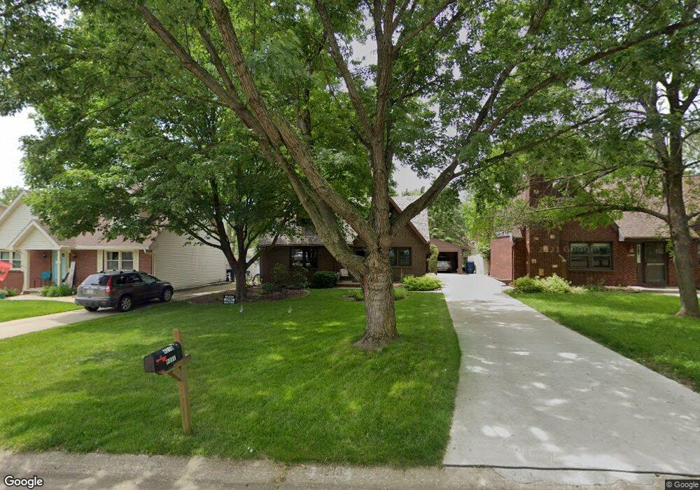
4218 87th St Urbandale, IA 50322
Estimated Value: $288,000 - $329,000
3
Beds
2
Baths
1,215
Sq Ft
$249/Sq Ft
Est. Value
About This Home
This home is located at 4218 87th St, Urbandale, IA 50322 and is currently estimated at $302,558, approximately $249 per square foot. 4218 87th St is a home located in Polk County with nearby schools including Urbandale Middle School, Urbandale High School, and St Pius X School.
Ownership History
Date
Name
Owned For
Owner Type
Purchase Details
Closed on
Aug 13, 2009
Sold by
Rose Jack F and Rose Darci B
Bought by
Rose Jack F and Rose Dacci B
Current Estimated Value
Purchase Details
Closed on
Oct 10, 2006
Sold by
Williams John R and Williams Diane M
Bought by
Pappas Darci B
Home Financials for this Owner
Home Financials are based on the most recent Mortgage that was taken out on this home.
Original Mortgage
$98,500
Outstanding Balance
$58,571
Interest Rate
6.49%
Mortgage Type
Purchase Money Mortgage
Estimated Equity
$243,987
Create a Home Valuation Report for This Property
The Home Valuation Report is an in-depth analysis detailing your home's value as well as a comparison with similar homes in the area
Home Values in the Area
Average Home Value in this Area
Purchase History
| Date | Buyer | Sale Price | Title Company |
|---|---|---|---|
| Rose Jack F | -- | None Available | |
| Pappas Darci B | $163,000 | None Available |
Source: Public Records
Mortgage History
| Date | Status | Borrower | Loan Amount |
|---|---|---|---|
| Open | Pappas Darci B | $98,500 |
Source: Public Records
Tax History Compared to Growth
Tax History
| Year | Tax Paid | Tax Assessment Tax Assessment Total Assessment is a certain percentage of the fair market value that is determined by local assessors to be the total taxable value of land and additions on the property. | Land | Improvement |
|---|---|---|---|---|
| 2025 | $4,144 | $279,900 | $69,000 | $210,900 |
| 2024 | $4,144 | $254,900 | $62,000 | $192,900 |
| 2023 | $4,062 | $254,900 | $62,000 | $192,900 |
| 2022 | $4,014 | $201,600 | $51,300 | $150,300 |
| 2021 | $3,834 | $201,600 | $51,300 | $150,300 |
| 2020 | $3,764 | $183,500 | $46,600 | $136,900 |
| 2019 | $3,752 | $183,500 | $46,600 | $136,900 |
| 2018 | $3,608 | $174,900 | $43,500 | $131,400 |
| 2017 | $3,312 | $174,900 | $43,500 | $131,400 |
| 2016 | $3,224 | $158,700 | $39,000 | $119,700 |
| 2015 | $3,224 | $158,700 | $39,000 | $119,700 |
| 2014 | $3,018 | $148,000 | $35,800 | $112,200 |
Source: Public Records
Map
Nearby Homes
- 4221 90th St
- 8914 Valdez Dr
- 8626 Alpine Dr Unit D
- 4460 90th St
- 8641 Alpine Dr Unit E
- 4473 89th St
- 4480 87th St Unit 10
- 8220 Twana Dr
- 9107 Tanglewood Dr
- 4117 83rd St
- 8505 Airline Ave
- 8501 Airline Ave
- 4529 91st St
- 3957 92nd Dr
- 3900 Rolling Green Dr
- 4608 83rd St
- 4719 84th St Unit A
- 4708 89th St
- Danbury Plan at Oakwood Haven
- Carson Plan at Oakwood Haven