


4218 Durham Cir Stone Mountain, GA 30083
Estimated payment $2,009/month
Highlights
- Open-Concept Dining Room
- Traditional Architecture
- Neighborhood Views
- 0.61 Acre Lot
- Main Floor Primary Bedroom
- Bathtub
About This Home
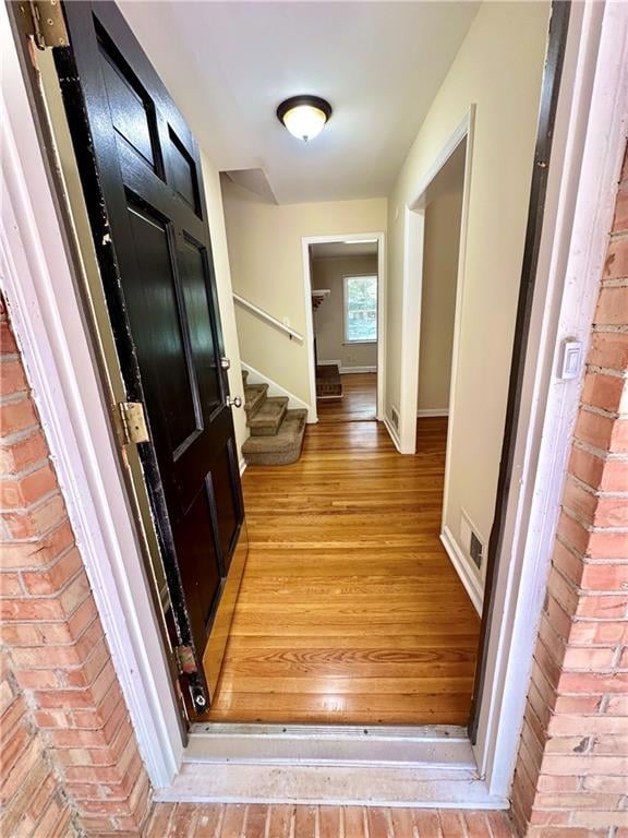
Welcome home to this solid 5-bedroom, 3-bathroom split-level gem in the heart of Stone Mountain! Nestled on a quiet street, this home offers the perfect blend of space, comfort, and convenience for today’s modern lifestyle. Step inside to find a light-filled living room that flows seamlessly into the dining area and an updated kitchen — perfect for entertaining. The upper level features 3 generously sized bedrooms, including a primary suite with a private bath, while the lower level offers 2 additional bedrooms, a full bathroom, and a cozy family room — ideal for guests, a home office, or multi-generational living. Enjoy outdoor living in your huge backyard, perfect for family gatherings, gardening, or creating your own private oasis. The property also includes a spacious driveway and plenty of room for parking. Located just minutes from parks, shopping, dining, and easy access to I-285, home is a must-see!
Home Details
Home Type
- Single Family
Est. Annual Taxes
- $5,750
Year Built
- Built in 1963
Lot Details
- 0.61 Acre Lot
- Lot Dimensions are 301 x 100
- Back Yard Fenced and Front Yard
Parking
- 2 Carport Spaces
Home Design
- Traditional Architecture
- Shingle Roof
Interior Spaces
- 2,254 Sq Ft Home
- 1.5-Story Property
- Roommate Plan
- Ceiling Fan
- Brick Fireplace
- Family Room
- Open-Concept Dining Room
- Neighborhood Views
- Partial Basement
- Fire and Smoke Detector
- Laundry Room
Kitchen
- Electric Range
- Dishwasher
Bedrooms and Bathrooms
- 5 Main Level Bedrooms
- Primary Bedroom on Main
- 3 Full Bathrooms
- Bathtub
- Shower Only
Outdoor Features
- Patio
Schools
- Stone Mountain Elementary And Middle School
- Stone Mountain High School
Utilities
- Central Heating and Cooling System
- 220 Volts
- 110 Volts
- Cable TV Available
Community Details
- Rowland Hills Subdivision
Listing and Financial Details
- Assessor Parcel Number 15 227 01 026
Map
Home Values in the Area
Average Home Value in this Area
Tax History
| Year | Tax Paid | Tax Assessment Tax Assessment Total Assessment is a certain percentage of the fair market value that is determined by local assessors to be the total taxable value of land and additions on the property. | Land | Improvement |
|---|---|---|---|---|
| 2025 | $5,749 | $121,000 | $15,730 | $105,270 |
| 2024 | $5,750 | $123,760 | $16,000 | $107,760 |
| 2023 | $5,750 | $123,760 | $16,000 | $107,760 |
| 2022 | $3,004 | $60,400 | $8,200 | $52,200 |
| 2021 | $3,592 | $73,800 | $8,200 | $65,600 |
| 2020 | $2,614 | $62,760 | $8,200 | $54,560 |
| 2019 | $2,614 | $51,520 | $8,200 | $43,320 |
| 2018 | $1,793 | $32,445 | $6,843 | $25,602 |
| 2017 | $2,113 | $39,920 | $8,200 | $31,720 |
| 2016 | $1,887 | $34,720 | $8,200 | $26,520 |
| 2014 | $893 | $11,920 | $8,200 | $3,720 |
Property History
| Date | Event | Price | List to Sale | Price per Sq Ft |
|---|---|---|---|---|
| 11/19/2025 11/19/25 | Price Changed | $290,900 | -1.7% | $129 / Sq Ft |
| 10/01/2025 10/01/25 | Price Changed | $295,900 | +38.3% | $131 / Sq Ft |
| 10/01/2025 10/01/25 | Price Changed | $213,900 | -29.4% | $95 / Sq Ft |
| 09/24/2025 09/24/25 | Price Changed | $302,900 | -1.6% | $134 / Sq Ft |
| 09/12/2025 09/12/25 | Price Changed | $307,900 | -2.2% | $137 / Sq Ft |
| 09/04/2025 09/04/25 | For Sale | $314,900 | 0.0% | $140 / Sq Ft |
| 08/15/2025 08/15/25 | Pending | -- | -- | -- |
| 07/31/2025 07/31/25 | For Sale | $314,900 | -- | $140 / Sq Ft |
Purchase History
| Date | Type | Sale Price | Title Company |
|---|---|---|---|
| Quit Claim Deed | -- | -- | |
| Limited Warranty Deed | $27,063,800 | -- | |
| Foreclosure Deed | $69,000 | -- | |
| Deed | $142,900 | -- | |
| Foreclosure Deed | $123,746 | -- | |
| Deed | $127,900 | -- | |
| Deed | $70,800 | -- |
Mortgage History
| Date | Status | Loan Amount | Loan Type |
|---|---|---|---|
| Previous Owner | $135,755 | New Conventional | |
| Closed | -- | New Conventional |
Source: First Multiple Listing Service (FMLS)
MLS Number: 7622134
APN: 15-227-01-026
![]() Listings identified with the FMLS IDX logo come from FMLS and are held by brokerage firms other than the owner of this website. The listing brokerage is identified in any listing details. Information is deemed reliable but is not guaranteed. If you believe any FMLS listing contains material that infringes your copyrighted work please visit www.fmls.com/dmca to review our DMCA policy and learn how to submit a takedown request. © 2025 First Multiple Listing Service, Inc.
Listings identified with the FMLS IDX logo come from FMLS and are held by brokerage firms other than the owner of this website. The listing brokerage is identified in any listing details. Information is deemed reliable but is not guaranteed. If you believe any FMLS listing contains material that infringes your copyrighted work please visit www.fmls.com/dmca to review our DMCA policy and learn how to submit a takedown request. © 2025 First Multiple Listing Service, Inc.
Disclaimer: Certain information contained herein is derived from information provided by parties other than Homes.com. All information provided is deemed reliable, but is not guaranteed to be accurate and should be independently verified.
- 1051 Rowland Rd
- 1010 Allgood Rd
- 997 Carlisle Rd Unit 1
- 4447 Lake Breeze Dr
- 747 John Alden Rd
- 4157 Autumn Hill Dr
- 1115 Old Coach Rd
- 4094 Carlisle Place
- 1195 Indian Creek Place
- 4408 Redan Rd
- 4048 Carlinswood Way
- 4058 Chemawa Dr
- 1140 Allgood Rd
- 4205 Autumn Hill Dr
- 4036 Carlinswood Way
- 4255 Autumn Woods Ct Unit 2
- 1019 Privy Ln Unit 74
- 792 Carlisle Club Dr Unit 2
- 4428 Nantucket Cove
- 4147 Scofield Place
- 1179 Old Coach Rd
- 4278 Autumn Hill Dr
- 1081 Brittania Rd
- 950 Ellis Rd Unit A
- 4143 Rue st Michel Unit 1, with utilities and lawn included
- 3960 Redan Rd Unit C1
- 3960 Redan Rd Unit B1
- 3960 Redan Rd Unit A1
- 3904 Durham Park Rd
- 758 Corundum Ct
- 1342 To Lani Farm Rd
- 4695 Redan Rd
- 3829 Redan Rd
- 1055 Holcombe Rd
- 3830 Kensingwood Trace
- 3785 Travis Trace
- 3868 Springleaf Point
- 3814 Redan Rd
- 575 Woodcrest Manor Dr
- 3893 Kensington Rd
