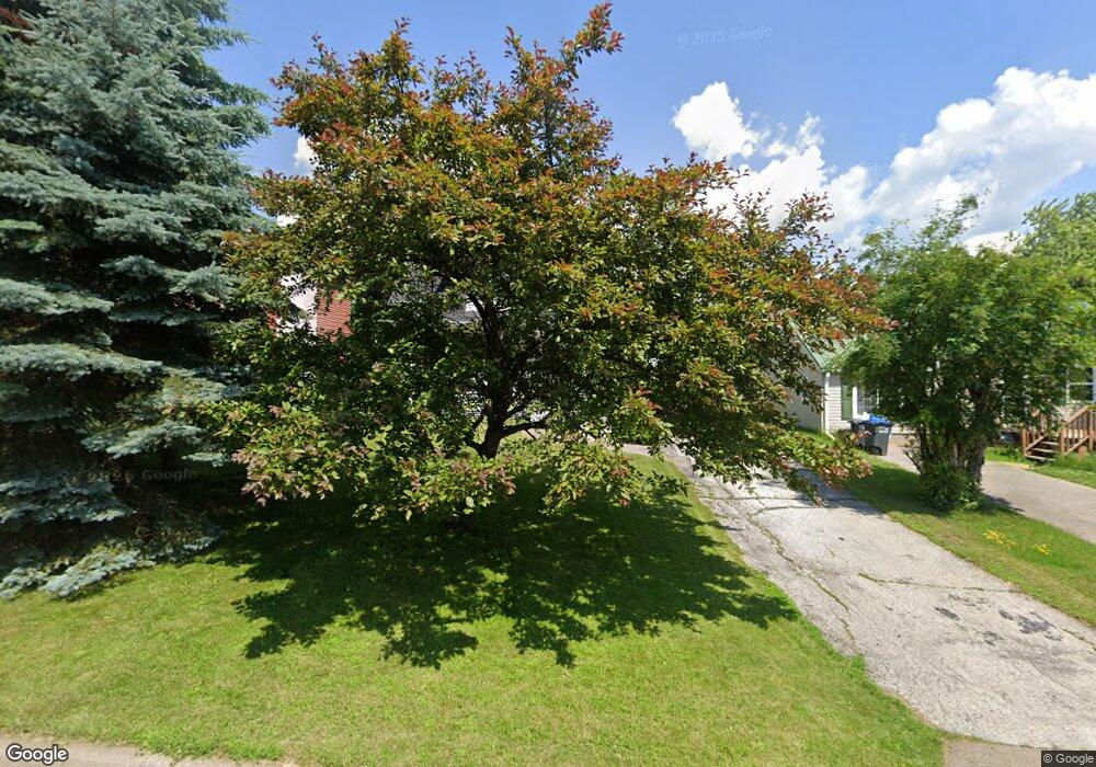
4219 4219 Jay St Duluth, MN 55804
Lakeside-Lester Park NeighborhoodEstimated Value: $280,000 - $358,000
2
Beds
2
Baths
1,340
Sq Ft
$226/Sq Ft
Est. Value
About This Home
This home is located at 4219 4219 Jay St, Duluth, MN 55804 and is currently estimated at $303,367, approximately $226 per square foot. 4219 4219 Jay St is a home located in St. Louis County with nearby schools including Lester Park Elementary School, Ordean East Middle School, and East High School.
Ownership History
Date
Name
Owned For
Owner Type
Purchase Details
Closed on
Feb 17, 2026
Sold by
Clark Natalie A and Clark Jeremy
Bought by
Zeppa Katherine L
Current Estimated Value
Purchase Details
Closed on
Oct 3, 2018
Sold by
Zeppa Katherine L
Bought by
Clark Natalie A
Purchase Details
Closed on
Jul 21, 2009
Sold by
Zeppa Alan H
Bought by
Zeppa Katherine Leanne
Purchase Details
Closed on
Feb 3, 2009
Sold by
Momont Michael and Momont Kristin
Bought by
Zeppa Katherine L
Purchase Details
Closed on
Oct 30, 2006
Sold by
Henderson Thomas D and Henderson Sandra K
Bought by
Momont Michael and Momont Kristin
Create a Home Valuation Report for This Property
The Home Valuation Report is an in-depth analysis detailing your home's value as well as a comparison with similar homes in the area
Home Values in the Area
Average Home Value in this Area
Purchase History
| Date | Buyer | Sale Price | Title Company |
|---|---|---|---|
| Zeppa Katherine L | $500 | None Listed On Document | |
| Clark Natalie A | -- | None Available | |
| Zeppa Katherine Leanne | -- | None Available | |
| Zeppa Katherine L | $190,000 | Consolidated Title | |
| Momont Michael | $185,000 | Rels Title |
Source: Public Records
Tax History
| Year | Tax Paid | Tax Assessment Tax Assessment Total Assessment is a certain percentage of the fair market value that is determined by local assessors to be the total taxable value of land and additions on the property. | Land | Improvement |
|---|---|---|---|---|
| 2024 | $3,400 | $267,200 | $46,200 | $221,000 |
| 2023 | $3,400 | $256,200 | $38,400 | $217,800 |
| 2022 | $2,930 | $235,300 | $35,600 | $199,700 |
| 2021 | $2,874 | $194,600 | $29,400 | $165,200 |
| 2020 | $2,796 | $194,600 | $29,400 | $165,200 |
| 2019 | $2,524 | $185,700 | $28,000 | $157,700 |
| 2018 | $2,192 | $171,400 | $28,000 | $143,400 |
| 2017 | $1,980 | $161,800 | $28,000 | $133,800 |
| 2016 | $1,936 | $147,900 | $35,400 | $112,500 |
| 2015 | $1,444 | $125,100 | $23,500 | $101,600 |
| 2014 | $1,444 | $90,300 | $6,800 | $83,500 |
Source: Public Records
Map
Nearby Homes
- 4328 Dodge St
- 4405 Cooke St
- 4220 Mcculloch St
- 4605 Cooke St
- 3725 N Ridge Rd
- 1403 N 47th Ave E
- 4010 Robinson St
- 4420 Cambridge St
- 4722 Oneida St
- 312 N 40th Ave E
- 4315 Luverne St
- 4803 Crosley Ave
- 5162 London Rd
- 5004 Wyoming St
- 5122 Glenwood St
- 3731 London Rd
- 3725 London Rd Unit 12
- 4 Lakeside Ct
- 3631 London Rd
- 110 N 36th Ave E
Your Personal Tour Guide
Ask me questions while you tour the home.