4219 Mastic Pte Unit 22 Acworth, GA 30101
Estimated Value: $308,000 - $352,000
3
Beds
3
Baths
2,080
Sq Ft
$160/Sq Ft
Est. Value
About This Home
This home is located at 4219 Mastic Pte Unit 22, Acworth, GA 30101 and is currently estimated at $332,937, approximately $160 per square foot. 4219 Mastic Pte Unit 22 is a home located in Cobb County with nearby schools including McCall Primary School, Acworth Intermediate School, and Barber Middle School.
Ownership History
Date
Name
Owned For
Owner Type
Purchase Details
Closed on
Apr 22, 2024
Sold by
Carey Jeffrey J
Bought by
Carey Amanda F
Current Estimated Value
Purchase Details
Closed on
Sep 16, 2020
Sold by
Williams Patricia
Bought by
Carey Amanda F and Carey Jeffrey J
Home Financials for this Owner
Home Financials are based on the most recent Mortgage that was taken out on this home.
Original Mortgage
$231,626
Interest Rate
2.8%
Mortgage Type
FHA
Purchase Details
Closed on
Feb 3, 2017
Sold by
Simpson Miranda T
Bought by
Williams Patricia
Purchase Details
Closed on
Aug 29, 2008
Sold by
Lake Acworth Village Llc
Bought by
Simpson Bradford L and Simpson Miranda T
Home Financials for this Owner
Home Financials are based on the most recent Mortgage that was taken out on this home.
Original Mortgage
$206,277
Interest Rate
6.48%
Mortgage Type
FHA
Create a Home Valuation Report for This Property
The Home Valuation Report is an in-depth analysis detailing your home's value as well as a comparison with similar homes in the area
Home Values in the Area
Average Home Value in this Area
Purchase History
| Date | Buyer | Sale Price | Title Company |
|---|---|---|---|
| Carey Amanda F | -- | None Listed On Document | |
| Carey Amanda F | $235,900 | None Available | |
| Williams Patricia | $143,000 | -- | |
| Simpson Bradford L | $209,000 | -- |
Source: Public Records
Mortgage History
| Date | Status | Borrower | Loan Amount |
|---|---|---|---|
| Previous Owner | Carey Amanda F | $231,626 | |
| Previous Owner | Simpson Bradford L | $206,277 |
Source: Public Records
Tax History Compared to Growth
Tax History
| Year | Tax Paid | Tax Assessment Tax Assessment Total Assessment is a certain percentage of the fair market value that is determined by local assessors to be the total taxable value of land and additions on the property. | Land | Improvement |
|---|---|---|---|---|
| 2025 | $3,406 | $133,612 | $28,000 | $105,612 |
| 2024 | $3,408 | $133,612 | $28,000 | $105,612 |
| 2023 | $2,865 | $133,612 | $28,000 | $105,612 |
| 2022 | $3,013 | $114,408 | $14,800 | $99,608 |
| 2021 | $2,804 | $92,404 | $14,800 | $77,604 |
| 2020 | $3,132 | $79,092 | $14,800 | $64,292 |
| 2019 | $2,400 | $79,092 | $14,800 | $64,292 |
| 2018 | $1,736 | $57,200 | $11,480 | $45,720 |
| 2017 | $1,678 | $58,372 | $14,800 | $43,572 |
| 2016 | $1,612 | $56,084 | $12,800 | $43,284 |
| 2015 | $1,177 | $48,784 | $12,800 | $35,984 |
| 2014 | $1,187 | $48,784 | $0 | $0 |
Source: Public Records
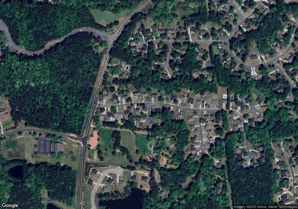
Map
Nearby Homes
- 5029 Little Harbor Way
- 5027 Little Harbor Way
- 4704 Liberty Square Dr
- 4644 Liberty Square Dr
- 4911 Magnolia Cottage Way Unit 6
- 4914 Magnolia Cottage Way Unit 2
- 4305 Brandy Ann Ct Unit 2
- 4661 Fowler St
- 4908 Futral Dr
- 4324 Logan Way
- 4481 Mclain Cir
- 4341 Logan Way
- 4351 Logan Way
- 4748 Fowler Cir
- 4749 Fowler St
- 90 Citrine Way
- 4022 Cottage Oaks Dr Unit 7
- 5361 N Main St
- 4308 Southside Dr
- 4504 Lombardy Way
- 4219 Mastic Pointe
- 4219 Mastic Pointe Unit 22
- 4219 Mastic Pointe
- 4219 Mastic Point
- 4217 Mastic Point Unit 22
- 4217 Mastic Point
- 4217 Mastic Point Unit 42
- 4217 Mastic Point Unit 4217
- 4217 Mastic Pointe Unit 4217
- 4217 Mastic Pointe Unit 22
- 4217 Mastic Pointe
- 4215 Mastic Point Unit 22
- 4215 Mastic Point
- 4215 Mastic Pointe Unit 22
- 4215 Mastic Pointe Unit 22
- 4213 Mastic Point Unit 22
- 4213 Mastic Pointe
- 4213 Mastic Pointe Unit 22
- 4322 Sandy Point Unit 19
- 4322 Sandy Point