42199 Rock Cod Unkn the Sea Ranch, CA 95497
The Sea Ranch NeighborhoodEstimated Value: $3,157,000 - $3,446,000
3
Beds
4
Baths
4,021
Sq Ft
$814/Sq Ft
Est. Value
About This Home
This home is located at 42199 Rock Cod Unkn, the Sea Ranch, CA 95497 and is currently estimated at $3,271,185, approximately $813 per square foot. 42199 Rock Cod Unkn is a home located in Sonoma County with nearby schools including Point Arena High School.
Ownership History
Date
Name
Owned For
Owner Type
Purchase Details
Closed on
Oct 18, 2022
Sold by
Karen L Serratoni Revocable Trust
Bought by
Sylvia Pestoni Survivors Trust
Current Estimated Value
Purchase Details
Closed on
Apr 4, 2003
Sold by
Serratoni Frank T
Bought by
Serratoni Karen L
Purchase Details
Closed on
Dec 22, 2000
Sold by
Risley Ralph G and Risley Sara G
Bought by
Serratoni Frank T and Serratoni Karen Lynn
Home Financials for this Owner
Home Financials are based on the most recent Mortgage that was taken out on this home.
Original Mortgage
$400,000
Interest Rate
7.71%
Create a Home Valuation Report for This Property
The Home Valuation Report is an in-depth analysis detailing your home's value as well as a comparison with similar homes in the area
Home Values in the Area
Average Home Value in this Area
Purchase History
| Date | Buyer | Sale Price | Title Company |
|---|---|---|---|
| Sylvia Pestoni Survivors Trust | $2,900,000 | Fidelity National Title | |
| Serratoni Karen L | -- | -- | |
| Serratoni Frank T | $1,000,000 | North American Title Co |
Source: Public Records
Mortgage History
| Date | Status | Borrower | Loan Amount |
|---|---|---|---|
| Previous Owner | Serratoni Frank T | $400,000 |
Source: Public Records
Tax History Compared to Growth
Tax History
| Year | Tax Paid | Tax Assessment Tax Assessment Total Assessment is a certain percentage of the fair market value that is determined by local assessors to be the total taxable value of land and additions on the property. | Land | Improvement |
|---|---|---|---|---|
| 2025 | $33,566 | $3,017,160 | $1,206,864 | $1,810,296 |
| 2024 | $33,566 | $2,958,000 | $1,183,200 | $1,774,800 |
| 2023 | $33,566 | $2,900,000 | $1,160,000 | $1,740,000 |
| 2022 | $18,729 | $1,627,393 | $709,983 | $917,410 |
| 2021 | $18,315 | $1,595,484 | $696,062 | $899,422 |
| 2020 | $18,336 | $1,579,125 | $688,925 | $890,200 |
| 2019 | $18,240 | $1,548,163 | $675,417 | $872,746 |
| 2018 | $17,867 | $1,517,808 | $662,174 | $855,634 |
| 2017 | $0 | $1,488,048 | $649,191 | $838,857 |
| 2016 | $17,322 | $1,458,871 | $636,462 | $822,409 |
| 2015 | -- | $1,436,958 | $626,902 | $810,056 |
| 2014 | -- | $1,408,811 | $614,622 | $794,189 |
Source: Public Records
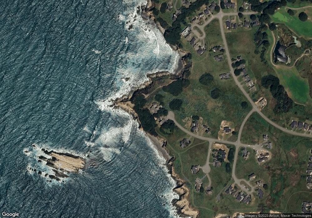
Map
Nearby Homes
- 42080 Rock Cod
- 42179 Rock Cod
- 275 Broad Reach
- 265 Broad Reach
- 42267 Forecastle
- 41940 Mizzen Mast
- 42320 Forecastle Unit 35E-2
- 42314 Forecastle
- 470 Grey Whale
- 279 Grey Whale
- 42180 Deer Trail
- 332 Antler
- 41214 Deer Trail Unit 34B
- 39001 Cypress Way
- 38934 Cypress Way
- 210 Solstice
- 178 Solstice
- 39463 Leeward Rd
- 42460 Leeward Rd
- 41934 Leeward Rd
- 42199 Rock Cod
- 42185 Rock Cod
- 42142 Rock Cod
- 42145 Rock Cod Unkn
- 42145 Rock Cod
- 42130 Rock Cod
- 280 Broad Reach
- 290 Broad Reach
- 294 Broad Reach
- 42177 Leeward Rd
- 285 Broad Reach
- 290 Buckeye Trail
- 42102 Rock Cod
- 42209 Leeward Rd
- 275 Broad Reach
- 275 Broad Reach Unkn
- 42233 Leeward Rd
- 285 Buckeye Trail
- 277 Buckeye Trail
- 250 Ballast Rd