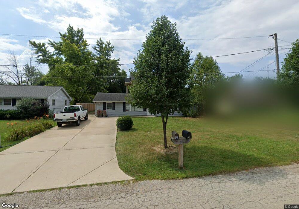
422 Connor Ave Lockport, IL 60441
South Lockport NeighborhoodEstimated Value: $289,000 - $393,000
3
Beds
2
Baths
--
Sq Ft
0.32
Acres
About This Home
This home is located at 422 Connor Ave, Lockport, IL 60441 and is currently estimated at $342,417. 422 Connor Ave is a home located in Will County with nearby schools including Fairmont School, Lockport Township High School East, and Saint Dennis School.
Ownership History
Date
Name
Owned For
Owner Type
Purchase Details
Closed on
Oct 27, 2020
Sold by
Ornelas Guillermo and Contreras Brenda
Bought by
Ornelas Guillermo
Current Estimated Value
Home Financials for this Owner
Home Financials are based on the most recent Mortgage that was taken out on this home.
Original Mortgage
$90,000
Outstanding Balance
$64,869
Interest Rate
2.7%
Mortgage Type
New Conventional
Estimated Equity
$277,548
Purchase Details
Closed on
May 25, 2005
Sold by
Jarosinski Lennda R and Jackson Victor
Bought by
Ornelas Guillermo and Contreras Brenda
Create a Home Valuation Report for This Property
The Home Valuation Report is an in-depth analysis detailing your home's value as well as a comparison with similar homes in the area
Home Values in the Area
Average Home Value in this Area
Purchase History
| Date | Buyer | Sale Price | Title Company |
|---|---|---|---|
| Ornelas Guillermo | -- | Carrington Ttl Partners Llc | |
| Ornelas Guillermo | $104,000 | First American Title |
Source: Public Records
Mortgage History
| Date | Status | Borrower | Loan Amount |
|---|---|---|---|
| Open | Ornelas Guillermo | $90,000 |
Source: Public Records
Tax History Compared to Growth
Tax History
| Year | Tax Paid | Tax Assessment Tax Assessment Total Assessment is a certain percentage of the fair market value that is determined by local assessors to be the total taxable value of land and additions on the property. | Land | Improvement |
|---|---|---|---|---|
| 2024 | $8,775 | $112,171 | $29,392 | $82,779 |
| 2023 | $8,775 | $100,702 | $26,387 | $74,315 |
| 2022 | $7,389 | $87,643 | $22,966 | $64,677 |
| 2021 | $7,132 | $82,364 | $21,583 | $60,781 |
| 2020 | $6,977 | $79,655 | $20,873 | $58,782 |
| 2019 | $6,704 | $105,503 | $19,785 | $85,718 |
| 2018 | $5,207 | $68,532 | $17,958 | $50,574 |
| 2017 | $4,731 | $62,208 | $16,301 | $45,907 |
| 2016 | $4,136 | $55,210 | $14,467 | $40,743 |
| 2015 | $3,376 | $48,193 | $12,628 | $35,565 |
| 2014 | $3,376 | $36,748 | $11,913 | $24,835 |
| 2013 | $3,376 | $55,784 | $12,949 | $42,835 |
Source: Public Records
Map
Nearby Homes
- 302 Hughes Ave
- Lots 57, 58, 59 & 60 Green Garden Place
- 17045 Sterling Dr
- 2021 Princess Ct
- 2009 Princess Ct
- 2005 Princess Ct
- 2004 Boehme St
- 516 Whelan St
- 1914 S Austrian Pine St Unit 2
- 222 Nobes Ave
- 216 Dellwood Ave
- 308 Dellwood Ave
- 101 Dellwood Ave
- 1623 East St
- 217 Riley Ave
- 2141 California Ave
- 1513 Connor Ave
- 2215 Fairview Ave
- 219 Reverend Walton Dr
- 2306 Fairview Ave