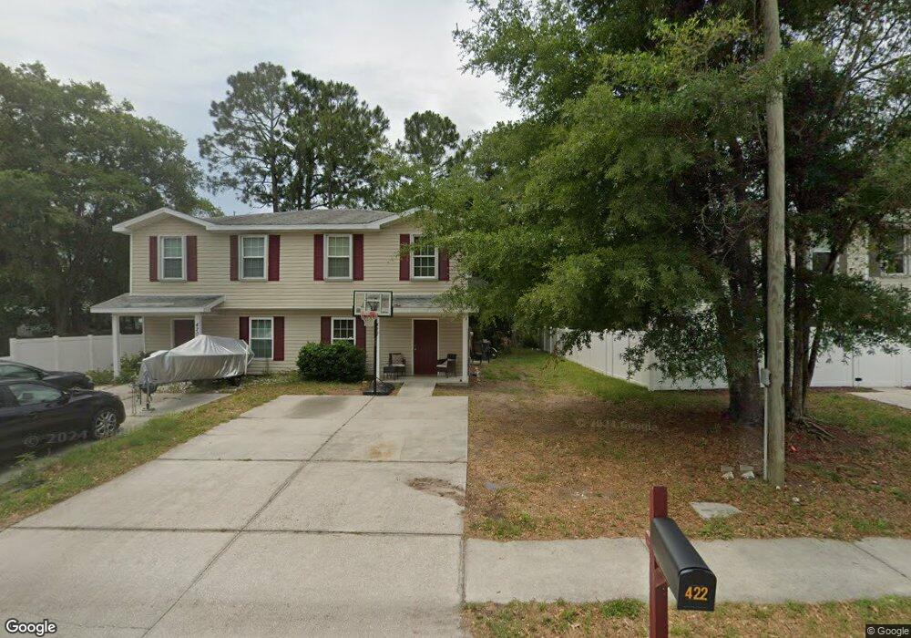
422 Dutton Island Rd W Atlantic Beach, FL 32233
Estimated Value: $335,586 - $388,000
3
Beds
2
Baths
1,320
Sq Ft
$279/Sq Ft
Est. Value
About This Home
This home is located at 422 Dutton Island Rd W, Atlantic Beach, FL 32233 and is currently estimated at $368,397, approximately $279 per square foot. 422 Dutton Island Rd W is a home with nearby schools including Neptune Beach Elementary School, Mayport Middle School, and Duncan U. Fletcher High School.
Ownership History
Date
Name
Owned For
Owner Type
Purchase Details
Closed on
Mar 16, 2012
Sold by
Beaches Habitat For Humanity Inc
Bought by
Jackson Alexis Marie
Current Estimated Value
Home Financials for this Owner
Home Financials are based on the most recent Mortgage that was taken out on this home.
Original Mortgage
$69,835
Outstanding Balance
$40,664
Interest Rate
3.9%
Mortgage Type
Seller Take Back
Estimated Equity
$327,733
Create a Home Valuation Report for This Property
The Home Valuation Report is an in-depth analysis detailing your home's value as well as a comparison with similar homes in the area
Home Values in the Area
Average Home Value in this Area
Purchase History
| Date | Buyer | Sale Price | Title Company |
|---|---|---|---|
| Jackson Alexis Marie | $115,000 | Attorney |
Source: Public Records
Mortgage History
| Date | Status | Borrower | Loan Amount |
|---|---|---|---|
| Open | Jackson Alexis Marie | $69,835 |
Source: Public Records
Tax History Compared to Growth
Tax History
| Year | Tax Paid | Tax Assessment Tax Assessment Total Assessment is a certain percentage of the fair market value that is determined by local assessors to be the total taxable value of land and additions on the property. | Land | Improvement |
|---|---|---|---|---|
| 2025 | $1,049 | $104,090 | -- | -- |
| 2024 | $1,005 | $101,157 | -- | -- |
| 2023 | $1,005 | $98,211 | $0 | $0 |
| 2022 | $901 | $95,351 | $0 | $0 |
| 2021 | $888 | $92,574 | $0 | $0 |
| 2020 | $872 | $91,296 | $0 | $0 |
| 2019 | $852 | $89,244 | $0 | $0 |
| 2018 | $832 | $87,580 | $0 | $0 |
| 2017 | $812 | $85,779 | $0 | $0 |
| 2016 | $799 | $84,015 | $0 | $0 |
| 2015 | $811 | $83,431 | $0 | $0 |
| 2014 | $810 | $82,769 | $0 | $0 |
Source: Public Records
Map
Nearby Homes
- 1115 Hidden Cove Cir S
- 951 Paradise Cir
- 800 Paradise Ln
- 791 Paradise Ln
- 880 Paradise Ln
- 2101 Hidden Cove Cir W
- 2288 Fairway Villas Dr
- 66 W 14th St
- 2264 Fairway Villas Dr
- 1255-1285 Hibiscus St
- 1470 Marshview Ct
- 0 West Plaza
- 2153 Fairway Villas Dr
- 1359 Cove Landing Dr
- 2307 Sandy Bay Ln
- 2268 Mayport Rd Unit 143
- 1048 Palm Landing Dr S
- 954 Stocks St
- 2229 Destine Ln
- 2250 Aspen Ridge Ct
- 420 Dutton Island Rd W
- 424 Dutton Island Rd W
- 2 Dutton Island Rd W
- 426 Dutton Island Rd W
- 1917 Mealy St
- 1921 Mealy St
- 2023 Mealy Ln Unit 2
- 2005 Dutton Island Oaks Way
- 1909 Mealy St
- 450 Dutton Island Rd W
- 401 Stewart St
- 425 Stewart St
- 1905 Mealy St
- 2011 Dutton Island Oaks Way
- 2011 Dutton Island Oaks Way
- 2011 Dutton Island Oaks Way
- 451 Stewart St
- 1985 Mary St
- 1939 Mary St
- 1987 Mary St