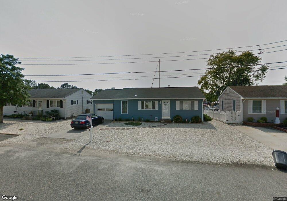
422 Middle Branch Dr Forked River, NJ 08731
Estimated Value: $354,816 - $546,000
2
Beds
1
Bath
864
Sq Ft
$492/Sq Ft
Est. Value
About This Home
This home is located at 422 Middle Branch Dr, Forked River, NJ 08731 and is currently estimated at $425,454, approximately $492 per square foot. 422 Middle Branch Dr is a home located in Ocean County with nearby schools including Lacey Township High School.
Ownership History
Date
Name
Owned For
Owner Type
Purchase Details
Closed on
Oct 28, 2005
Sold by
Rastall David and Rastall Mary Jane
Bought by
Schnorbus William R and Schnorbus Patricia R
Current Estimated Value
Home Financials for this Owner
Home Financials are based on the most recent Mortgage that was taken out on this home.
Original Mortgage
$35,100
Interest Rate
5.43%
Mortgage Type
Credit Line Revolving
Create a Home Valuation Report for This Property
The Home Valuation Report is an in-depth analysis detailing your home's value as well as a comparison with similar homes in the area
Home Values in the Area
Average Home Value in this Area
Purchase History
| Date | Buyer | Sale Price | Title Company |
|---|---|---|---|
| Schnorbus William R | $351,000 | Transnation |
Source: Public Records
Mortgage History
| Date | Status | Borrower | Loan Amount |
|---|---|---|---|
| Closed | Schnorbus William R | $35,100 | |
| Open | Schnorbus William R | $280,800 |
Source: Public Records
Tax History
| Year | Tax Paid | Tax Assessment Tax Assessment Total Assessment is a certain percentage of the fair market value that is determined by local assessors to be the total taxable value of land and additions on the property. | Land | Improvement |
|---|---|---|---|---|
| 2025 | $5,866 | $231,500 | $151,000 | $80,500 |
| 2024 | $5,234 | $231,500 | $151,000 | $80,500 |
| 2023 | $4,989 | $231,500 | $151,000 | $80,500 |
| 2022 | $5,239 | $231,500 | $151,000 | $80,500 |
| 2021 | $4,901 | $231,500 | $151,000 | $80,500 |
| 2020 | $4,987 | $231,500 | $151,000 | $80,500 |
| 2019 | $4,899 | $231,500 | $151,000 | $80,500 |
| 2018 | $4,841 | $231,500 | $151,000 | $80,500 |
| 2017 | $4,625 | $226,400 | $151,000 | $75,400 |
| 2016 | $4,357 | $226,400 | $151,000 | $75,400 |
| 2015 | $4,151 | $226,400 | $151,000 | $75,400 |
| 2014 | $5,593 | $325,200 | $251,000 | $74,200 |
Source: Public Records
Map
Nearby Homes
- 404 Beach Blvd
- 10 Dolphin Ct
- 463 Ensign Rd
- 69 Saltspray Dr
- 75 Saltspray Dr
- 79 Saltspray Dr
- 72 Saltspray Dr
- 217 Nantucket Rd
- 123 Oakwood Place
- 615 Beach Blvd
- 417 Riverview Rd
- 9 Hollywood Blvd S
- 22 Saltspray Dr
- 635 Oakwood Dr
- 634 Fairview Ln
- 102 Maria Loretta Ln
- 703 Chesapeake Dr
- 126 Bay Ave
- 117 E Lacey Rd
- 1 Thropp Rd
- 423 Middle Branch Dr
- 421 Middle Branch Dr
- 420 Middle Branch Dr
- 425 Middle Branch Dr
- 424 Middle Branch Dr
- 426 Middle Branch Dr
- 412 Whyatt Ct
- 414 Whyatt Ct
- 416 Whyatt Ct
- 427 Middle Branch Dr
- 0 Middle Branch Dr Unit NJOC217938
- 312 Richard Rd
- 313 Richard Rd
- 410 Whyatt Ct
- 428 Middle Branch Dr
- 314 Richard Rd
- 413 Seabright Rd
- 409 Seabright Rd
- 408 Whyatt Ct
- 407 Seabright Rd
Your Personal Tour Guide
Ask me questions while you tour the home.