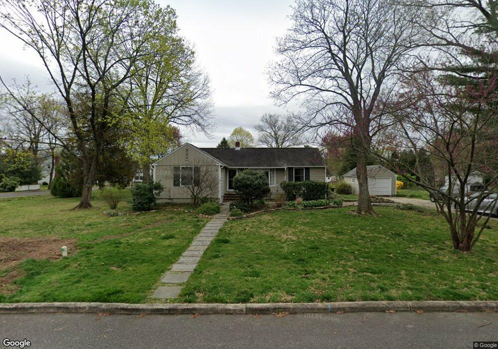
422 Park Blvd Moorestown, NJ 08057
Estimated Value: $321,578 - $415,000
--
Bed
--
Bath
1,144
Sq Ft
$322/Sq Ft
Est. Value
About This Home
This home is located at 422 Park Blvd, Moorestown, NJ 08057 and is currently estimated at $368,395, approximately $322 per square foot. 422 Park Blvd is a home located in Burlington County with nearby schools including George C. Baker Elementary School, Moorestown Upper Elementary School, and William Allen Middle School.
Ownership History
Date
Name
Owned For
Owner Type
Purchase Details
Closed on
Aug 31, 2000
Sold by
Sparrock John M
Bought by
Wright Duncan W and Wright Elizabeth
Current Estimated Value
Home Financials for this Owner
Home Financials are based on the most recent Mortgage that was taken out on this home.
Original Mortgage
$120,840
Interest Rate
7.83%
Mortgage Type
Purchase Money Mortgage
Purchase Details
Closed on
Apr 20, 2000
Sold by
Sparrock John M and Sparrock Marit
Bought by
Sparrock Marit
Create a Home Valuation Report for This Property
The Home Valuation Report is an in-depth analysis detailing your home's value as well as a comparison with similar homes in the area
Home Values in the Area
Average Home Value in this Area
Purchase History
| Date | Buyer | Sale Price | Title Company |
|---|---|---|---|
| Wright Duncan W | $127,200 | -- | |
| Sparrock Marit | -- | -- |
Source: Public Records
Mortgage History
| Date | Status | Borrower | Loan Amount |
|---|---|---|---|
| Previous Owner | Wright Duncan W | $120,840 |
Source: Public Records
Tax History Compared to Growth
Tax History
| Year | Tax Paid | Tax Assessment Tax Assessment Total Assessment is a certain percentage of the fair market value that is determined by local assessors to be the total taxable value of land and additions on the property. | Land | Improvement |
|---|---|---|---|---|
| 2025 | $5,178 | $182,500 | $110,000 | $72,500 |
| 2024 | $5,021 | $182,500 | $110,000 | $72,500 |
| 2023 | $5,021 | $182,500 | $110,000 | $72,500 |
| 2022 | $4,969 | $182,500 | $110,000 | $72,500 |
| 2021 | $4,904 | $182,500 | $110,000 | $72,500 |
| 2020 | $4,873 | $182,500 | $110,000 | $72,500 |
| 2019 | $4,787 | $182,500 | $110,000 | $72,500 |
| 2018 | $4,657 | $182,500 | $110,000 | $72,500 |
| 2017 | $4,698 | $182,500 | $110,000 | $72,500 |
| 2016 | $4,681 | $182,500 | $110,000 | $72,500 |
| 2015 | $4,625 | $182,500 | $110,000 | $72,500 |
| 2014 | $4,391 | $182,500 | $110,000 | $72,500 |
Source: Public Records
Map
Nearby Homes
- 316 Farmdale Rd
- 531 Covington Terrace
- 313 Fairview Ave
- 493 N Church St
- 543 Bethel Ave
- 316 W 3rd St
- 1 Circle Dr
- 12 Greenvale Rd
- 602 Windsor Place
- 601 Stratford Dr
- 801 E Camden Ave
- 4 W Close
- 5 Collins Mill Ct
- 8 E Oak Ave
- 206 E Camden Ave
- 129 S Church St
- 18 S Close Unit 18
- 15 E 2nd St
- 430 Highland Dr
- 308 Kenwood Dr