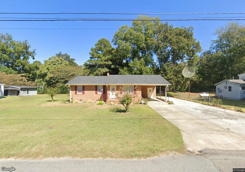
422 Sampson St Clinton, NC 28328
Estimated Value: $154,884 - $167,000
3
Beds
2
Baths
1,336
Sq Ft
$120/Sq Ft
Est. Value
About This Home
This home is located at 422 Sampson St, Clinton, NC 28328 and is currently estimated at $160,971, approximately $120 per square foot. 422 Sampson St is a home located in Sampson County with nearby schools including Langdon C. Kerr Elementary School, Sunset Avenue Elementary School, and Butler Avenue Elementary School.
Ownership History
Date
Name
Owned For
Owner Type
Purchase Details
Closed on
Jun 20, 2008
Sold by
Goodman Gora Lee
Bought by
Goodman Cora Lee
Current Estimated Value
Home Financials for this Owner
Home Financials are based on the most recent Mortgage that was taken out on this home.
Original Mortgage
$110,000
Interest Rate
4.01%
Mortgage Type
Reverse Mortgage Home Equity Conversion Mortgage
Create a Home Valuation Report for This Property
The Home Valuation Report is an in-depth analysis detailing your home's value as well as a comparison with similar homes in the area
Purchase History
| Date | Buyer | Sale Price | Title Company |
|---|---|---|---|
| Goodman Cora Lee | -- | -- |
Source: Public Records
Mortgage History
| Date | Status | Borrower | Loan Amount |
|---|---|---|---|
| Previous Owner | Goodman Cora Lee | $110,000 |
Source: Public Records
Tax History
| Year | Tax Paid | Tax Assessment Tax Assessment Total Assessment is a certain percentage of the fair market value that is determined by local assessors to be the total taxable value of land and additions on the property. | Land | Improvement |
|---|---|---|---|---|
| 2025 | $749 | $131,353 | $6,571 | $124,782 |
| 2024 | $709 | $131,353 | $6,571 | $124,782 |
| 2023 | $543 | $79,243 | $6,706 | $72,537 |
| 2022 | $543 | $79,243 | $6,706 | $72,537 |
| 2021 | $543 | $79,243 | $6,706 | $72,537 |
| 2020 | $543 | $79,243 | $6,706 | $72,537 |
| 2019 | $543 | $79,243 | $0 | $0 |
| 2018 | $553 | $80,559 | $0 | $0 |
| 2017 | $553 | $80,559 | $0 | $0 |
| 2016 | $555 | $80,559 | $0 | $0 |
| 2015 | $555 | $80,559 | $0 | $0 |
| 2014 | $555 | $80,559 | $0 | $0 |
Source: Public Records
Map
Nearby Homes
Your Personal Tour Guide
Ask me questions while you tour the home.