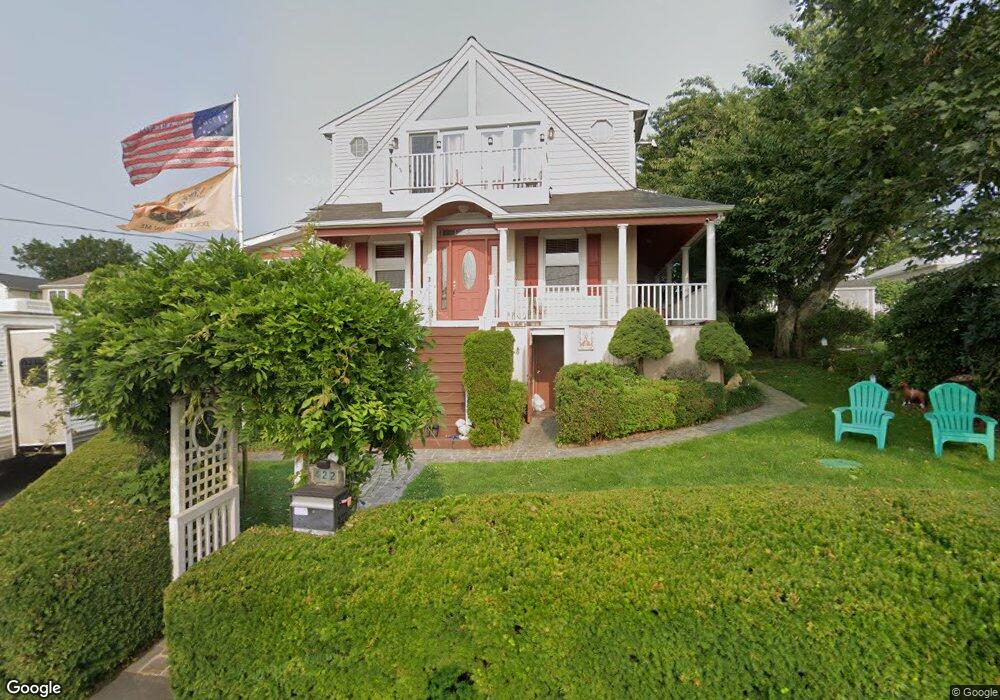
422 Sampson St Fall River, MA 02724
Sandy Beach NeighborhoodEstimated Value: $480,345 - $656,000
4
Beds
2
Baths
2,781
Sq Ft
$203/Sq Ft
Est. Value
About This Home
This home is located at 422 Sampson St, Fall River, MA 02724 and is currently estimated at $564,586, approximately $203 per square foot. 422 Sampson St is a home located in Bristol County with nearby schools including Henry Lord Community School, B M C Durfee High School, and Argosy Collegiate Charter School.
Ownership History
Date
Name
Owned For
Owner Type
Purchase Details
Closed on
Aug 27, 1992
Sold by
Gonsalves Patricia R
Bought by
Daponte William M and Daponte Aida C
Current Estimated Value
Home Financials for this Owner
Home Financials are based on the most recent Mortgage that was taken out on this home.
Original Mortgage
$85,400
Interest Rate
8.09%
Mortgage Type
Purchase Money Mortgage
Create a Home Valuation Report for This Property
The Home Valuation Report is an in-depth analysis detailing your home's value as well as a comparison with similar homes in the area
Home Values in the Area
Average Home Value in this Area
Purchase History
| Date | Buyer | Sale Price | Title Company |
|---|---|---|---|
| Daponte William M | $44,950 | -- | |
| Daponte William M | $44,950 | -- |
Source: Public Records
Mortgage History
| Date | Status | Borrower | Loan Amount |
|---|---|---|---|
| Open | Daponte William M | $18,755 | |
| Closed | Daponte William M | $85,400 |
Source: Public Records
Tax History
| Year | Tax Paid | Tax Assessment Tax Assessment Total Assessment is a certain percentage of the fair market value that is determined by local assessors to be the total taxable value of land and additions on the property. | Land | Improvement |
|---|---|---|---|---|
| 2025 | $5,037 | $439,900 | $138,500 | $301,400 |
| 2024 | $4,772 | $415,300 | $135,800 | $279,500 |
| 2023 | $4,903 | $399,600 | $122,300 | $277,300 |
| 2022 | $4,387 | $347,600 | $115,400 | $232,200 |
| 2021 | $3,564 | $295,000 | $110,200 | $184,800 |
| 2020 | $4,488 | $310,600 | $105,200 | $205,400 |
| 2019 | $4,485 | $307,600 | $110,000 | $197,600 |
| 2018 | $3,423 | $300,700 | $110,800 | $189,900 |
| 2017 | $3,334 | $297,400 | $110,800 | $186,600 |
| 2016 | $3,972 | $291,400 | $114,200 | $177,200 |
| 2015 | $3,856 | $294,800 | $114,200 | $180,600 |
| 2014 | $3,709 | $294,800 | $114,200 | $180,600 |
Source: Public Records
Map
Nearby Homes
- 0 Sampson St
- LOT A Sampson St
- 332 State Ave
- 431 Clarkson St
- 407 Clarkson St
- 407 Clarkson St Unit 2
- 326 State Ave
- 344 State Ave
- 379 Clarkson St Unit 381
- 352 State Ave
- 396 Clarkson St
- 0 State Ave
- 11 Last St
- 371 Clarkson St
- 386 Clarkson St
- 382 State Ave
- 6 Methuen St
- 361 Sampson St
- 3 Cliff St
- 163 State Ave
Your Personal Tour Guide
Ask me questions while you tour the home.