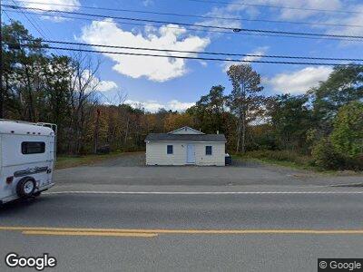
422 State St Ellsworth, ME 04605
Estimated Value: $241,960 - $306,000
--
Bed
--
Bath
--
Sq Ft
0.25
Acres
About This Home
This home is located at 422 State St, Ellsworth, ME 04605 and is currently estimated at $263,740. 422 State St is a home located in Hancock County with nearby schools including Sumner Memorial High School, Kidspeace National Centers of New England, and Graham Lake School.
Ownership History
Date
Name
Owned For
Owner Type
Purchase Details
Closed on
Apr 5, 2021
Sold by
Osprey Properties Llc
Bought by
Blue Canoe Properties Llc
Current Estimated Value
Home Financials for this Owner
Home Financials are based on the most recent Mortgage that was taken out on this home.
Original Mortgage
$190,000
Outstanding Balance
$175,580
Interest Rate
3%
Mortgage Type
Stand Alone Refi Refinance Of Original Loan
Create a Home Valuation Report for This Property
The Home Valuation Report is an in-depth analysis detailing your home's value as well as a comparison with similar homes in the area
Home Values in the Area
Average Home Value in this Area
Purchase History
| Date | Buyer | Sale Price | Title Company |
|---|---|---|---|
| Blue Canoe Properties Llc | -- | None Available | |
| Blue Canoe Properties Llc | -- | None Available |
Source: Public Records
Mortgage History
| Date | Status | Borrower | Loan Amount |
|---|---|---|---|
| Open | Blue Canoe Properties Llc | $190,000 | |
| Closed | Blue Canoe Properties Llc | $190,000 |
Source: Public Records
Tax History Compared to Growth
Tax History
| Year | Tax Paid | Tax Assessment Tax Assessment Total Assessment is a certain percentage of the fair market value that is determined by local assessors to be the total taxable value of land and additions on the property. | Land | Improvement |
|---|---|---|---|---|
| 2023 | $2,483 | $143,520 | $23,115 | $120,405 |
| 2022 | $2,253 | $143,520 | $23,115 | $120,405 |
| 2021 | $2,086 | $115,700 | $20,100 | $95,600 |
| 2020 | $2,155 | $114,800 | $20,100 | $94,700 |
| 2019 | $2,159 | $114,800 | $20,100 | $94,700 |
| 2018 | $2,094 | $114,800 | $20,100 | $94,700 |
| 2017 | $2,049 | $114,000 | $20,100 | $93,900 |
| 2016 | $1,973 | $111,600 | $17,700 | $93,900 |
| 2015 | $1,975 | $111,600 | $17,700 | $93,900 |
| 2014 | $1,836 | $111,600 | $17,700 | $93,900 |
| 2012 | $1,911 | $123,700 | $34,700 | $89,000 |
Source: Public Records
Map
Nearby Homes
- 344 State St
- 312 State St
- 370 Christian Ridge Rd
- 264 Christian Ridge Rd
- 60 Guptil Farm Way
- Lot 8 Sugar Way
- 9 Viola Way
- TBD North St
- 30 American Ave
- 120 Guptil Farm Way
- 42 Christian Ridge Rd
- 24 Lincoln St
- 221 Bucksport Rd
- 14 Water St
- 17 McDonald Ave
- 30 Water St
- 0 Union St
- 16 Hancock St Unit 2
- 0 Boggy Brook Rd Unit 1619468
- 70 Hancock St
- 422 State St
- 2 Bangor Rd
- 2 Bangor Rd
- 416 State St
- 000 North St
- 000 Bangor
- 0 Off Bangor Rd Unit 1253478
- 0 Route 1a Bangor Rd Unit 812271
- 0 Route 1a Bangor Rd Unit 278636
- 0 Route 1a Bangor Rd Unit 841307
- Rt1A Bangor Rd
- L1 Old Bangor Rd
- 0 Route 1a Bangor Rd Unit 928224
- 0 R#1a Bangor Rd Unit 1100807
- 24 Bangor Rd
- 409 State St
- 12 Bangor Rd
- 0 Lakes Ln
- 7 North St
- 412 State St