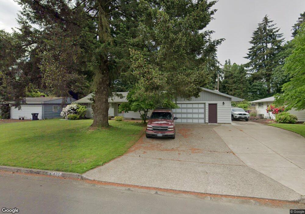
422 W Azalea Ave Eugene, OR 97404
Santa Clara NeighborhoodEstimated Value: $386,000 - $451,000
2
Beds
1
Bath
1,282
Sq Ft
$320/Sq Ft
Est. Value
About This Home
This home is located at 422 W Azalea Ave, Eugene, OR 97404 and is currently estimated at $410,269, approximately $320 per square foot. 422 W Azalea Ave is a home located in Lane County with nearby schools including Spring Creek Elementary School, Madison Middle School, and North Eugene High School.
Ownership History
Date
Name
Owned For
Owner Type
Purchase Details
Closed on
Jun 13, 2014
Sold by
Clark Delynn A and Youmans Anne M
Bought by
Odegard Leonard E and Holliday Odegard Tia
Current Estimated Value
Home Financials for this Owner
Home Financials are based on the most recent Mortgage that was taken out on this home.
Original Mortgage
$115,000
Outstanding Balance
$87,380
Interest Rate
4.25%
Mortgage Type
New Conventional
Estimated Equity
$322,889
Purchase Details
Closed on
Mar 6, 2011
Sold by
Clark Delynn Ann
Bought by
Clark Delynn A and Youmans Anne M
Create a Home Valuation Report for This Property
The Home Valuation Report is an in-depth analysis detailing your home's value as well as a comparison with similar homes in the area
Home Values in the Area
Average Home Value in this Area
Purchase History
| Date | Buyer | Sale Price | Title Company |
|---|---|---|---|
| Odegard Leonard E | $175,000 | Western Title & Escrow Co | |
| Clark Delynn A | -- | None Available |
Source: Public Records
Mortgage History
| Date | Status | Borrower | Loan Amount |
|---|---|---|---|
| Open | Odegard Leonard E | $115,000 |
Source: Public Records
Tax History
| Year | Tax Paid | Tax Assessment Tax Assessment Total Assessment is a certain percentage of the fair market value that is determined by local assessors to be the total taxable value of land and additions on the property. | Land | Improvement |
|---|---|---|---|---|
| 2025 | $2,798 | $218,633 | -- | -- |
| 2024 | $2,784 | $212,266 | -- | -- |
| 2023 | $2,784 | $206,084 | $0 | $0 |
| 2022 | $2,616 | $200,082 | $0 | $0 |
| 2021 | $2,401 | $194,255 | $0 | $0 |
| 2020 | $2,446 | $188,598 | $0 | $0 |
| 2019 | $2,355 | $183,105 | $0 | $0 |
| 2018 | $2,168 | $172,594 | $0 | $0 |
| 2017 | $2,024 | $172,594 | $0 | $0 |
| 2016 | $1,904 | $167,567 | $0 | $0 |
| 2015 | $1,834 | $162,686 | $0 | $0 |
| 2014 | $1,715 | $157,948 | $0 | $0 |
Source: Public Records
Map
Nearby Homes
- 349 Irving Rd
- 200 Irving Rd
- 2563 York St
- 2937 Stark St
- 2740 Stark St
- 215 Jonquil Ave
- 303 Lenore Loop
- 3007 River Rd
- 835 Bobolink Ave
- 193 Santa Clara Ave
- 2923 Maranta St
- 2439 Quince St
- 190 River Loop 1
- 401 Sterling Dr
- 190 Hunsaker Ln
- 475 Banton Ave
- 240 Dibblee Ln
- 2488 Northampton
- 475 Salty Way
- 2987 Dry Creek Rd
- 2804 Ferndale Dr
- 444 W Azalea Ave
- 2800 Ferndale Dr
- 466 W Azalea Ave
- 427 W Azalea Ave
- 415 W Azalea Ave
- 449 W Azalea Ave
- 2815 Dahlia Ln
- 2775 Cassinia Ct
- 2788 Ferndale Dr
- 2801 Ferndale Dr
- 2815 Ferndale Dr
- 461 W Azalea Ave
- 488 W Azalea Ave
- 2763 Cassinia Ct
- 2795 Ferndale Dr
- 394 Oak Leaf Dr
- 2807 Dahlia Ln
- 2760 Cassinia Ct
- 2777 Ferndale Dr
Your Personal Tour Guide
Ask me questions while you tour the home.